Old Maps of Kokernot, Texas for Academic Research
Study the evolution of Kokernot with 9 high-resolution historic maps. Whether you're teaching, researching, or modeling changes in land use, these maps provide essential visual documentation of urban, environmental, and geographic change.
- Analyze long-term change: Track patterns in development, transportation, and natural features.
- Ideal for environmental or urban studies: Support academic projects with primary historical map data.
- Use in the classroom or lab: Educators and researchers rely on these maps to bring historical context to life.
These maps are a powerful tool for teaching, research, and visualizing how Kokernot has changed over the decades.
Kokernot, TX maps
(9)- 1953 Map of Seguin, 1965 Print
 1953 Seguin1965 Print · USGSSouth Texas in the early fifties shows a thriving river-and-rail economy across the Guadalupe and Colorado basins. Genealogists and historians can trace rail routes like the Southern Pacific through Seguin, locate oil wells, or find the Gary AAF near San Marcos.4 unique versions available
 - 1958 Map of Seguin
 1958 Seguin1958 Print · USGSSouth Texas in the late fifties was a network of river-valley settlements and active oilfields tied together by major rail lines. Genealogists and historians can trace family-named sites across Rabb Prairie, locate the Behring Store, or follow the Southern Pacific through Schulenburg.
 - 1959 Map of Hamon, 1960 Print
 1959 Hamon1960 Print · USGSThe Guadalupe River valley in Gonzales County appears here in the late fifties, during a period of shifting rural settlements. Researchers can locate the Hamon (Original Townsite), find the Hamon Ch, and trace old industrial sites like the local Clay Pits.2 unique versions available
 - 1985 Map of Cuero
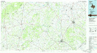 1985 Cuero1985 Print · USGSSouth Texas in the mid-eighties reveals a landscape of river-bottom farms and active petroleum production. Researchers can trace family-named landmarks and rural settlements like Monthalia, Kosciuszko, and the Thomaston Oil Field along the Southern Pacific rail lines.2 unique versions available
 - 2010 Map of Hamon, 2010 Print
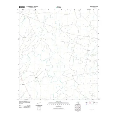 2010 Hamon2010 Print · USGSGonzales County is shown in the first decade of the new millennium as a landscape of cattle ranches and winding river bottoms. Genealogists and local historians can trace family land near Hamon and Glaze City, or locate the historic Dilworth Cemetery and Abercrombie Ranch.
 - 2013 Map of Hamon, 2013 Print
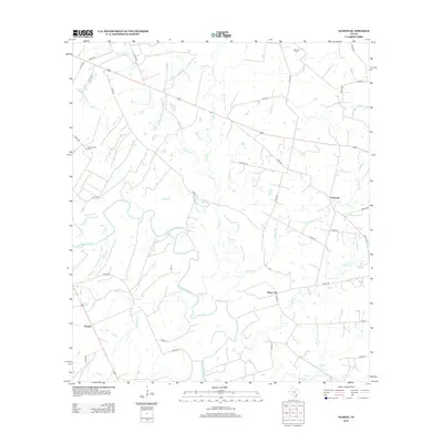 2013 Hamon2013 Print · USGSGonzales County ranching and river lands are documented here in the early twenty-first century. Researchers can trace family history at Dilworth Cem or locate rural holdings near Hamon, Glaze City, and the Guadalupe River.
 - 2016 Map of Hamon, 2016 Print
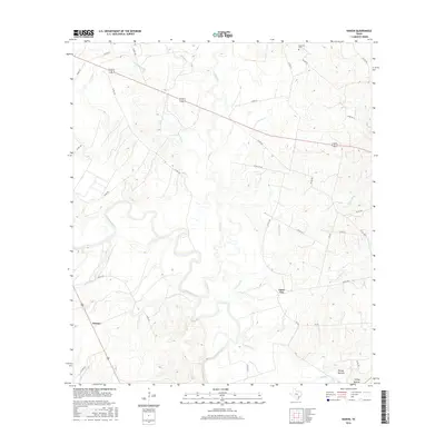 2016 Hamon2016 Print · USGSGonzales County's rural river lands are captured here in the mid-2010s, showing a landscape shaped by the Guadalupe River. Researchers can locate the Dilworth Cem and trace the paths of old crossings at Hamon, Glaze City, and Turkey Bottom.
 - 2019 Map of Hamon, 2019 Print
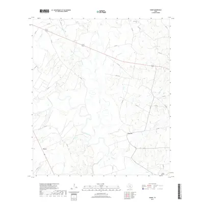 2019 Hamon2019 Print · USGSGonzales County in the late 2010s shows a landscape of river-bottom lowlands and quiet rural crossings. Trace local family roots and land use near Hamon, the Dilworth Cem, and the winding banks of the Guadalupe River.
 - 2022 Map of Hamon, 2022 Print
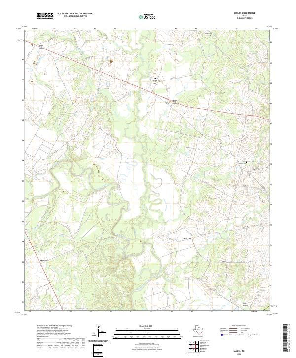 2022 Hamon2022 Print · USGSThe Guadalupe River basin in Gonzales County is shown here in the modern era as a network of rural roads and historical cemeteries. Trace family roots at McClure Braches Cem or explore the river bottoms near Turkey Bottom and Hamon.
End of results
Showing maps 1-9 of 9
Top cities near Kokernot
Frequently asked questions
- What are the different types of historical maps available for Kokernot?
- What is the oldest map of Kokernot?
- Where can I purchase historical maps of Kokernot for my home or office?
- Where can I download high-res historical maps of Kokernot?
- Are there historical topographic maps available for Kokernot?
- Is there historical aerial imagery available for Kokernot?
- Where are historical maps of Kokernot sourced from?