Old Maps of Summerville, Texas for Genealogy
Trace your family roots with 9 historic maps of Summerville. These high-res maps reveal old neighborhoods, homesites, landmarks, and streets — helping you uncover where your ancestors lived and how the area evolved over time.
- Explore historic neighborhoods: Identify where your relatives may have lived in the 1800s or 1900s.
- Compare maps over time: Trace the changes in streets, buildings, and landmarks for multi-generational research.
- Perfect for genealogy & ancestry research: Used by family historians and researchers to map out lineage and migration.
These maps are an incredible resource for exploring your personal connection to Summerville's past.
Summerville, TX maps
(9)- 1953 Map of Seguin, 1965 Print
 1953 Seguin1965 Print · USGSSouth Texas in the early fifties shows a thriving river-and-rail economy across the Guadalupe and Colorado basins. Genealogists and historians can trace rail routes like the Southern Pacific through Seguin, locate oil wells, or find the Gary AAF near San Marcos.4 unique versions available
- 1958 Map of Seguin
 1958 Seguin1958 Print · USGSSouth Texas in the late fifties was a network of river-valley settlements and active oilfields tied together by major rail lines. Genealogists and historians can trace family-named sites across Rabb Prairie, locate the Behring Store, or follow the Southern Pacific through Schulenburg.
- 1959 Map of Gonzales South, 1960 Print
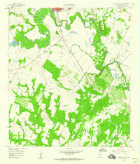 1959 Gonzales South1960 Print · USGSThe river-bend country south of Gonzales comes into focus in the late 1950s, showing the winding paths of the Guadalupe River and San Marcos River. Researchers can trace old family burial grounds like De Witt Cem and Watson Cem alongside the early development of Santa Anna.3 unique versions available
- 1985 Map of Cuero
 1985 Cuero1985 Print · USGSSouth Texas in the mid-eighties reveals a landscape of river-bottom farms and active petroleum production. Researchers can trace family-named landmarks and rural settlements like Monthalia, Kosciuszko, and the Thomaston Oil Field along the Southern Pacific rail lines.2 unique versions available
- 2010 Map of Gonzales South, 2010 Print
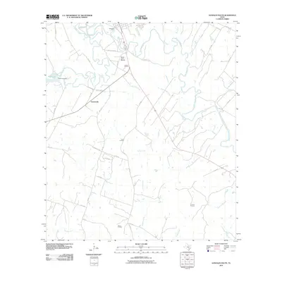 2010 Gonzales South2010 Print · USGSSouthern Gonzales County in the early 21st century is defined by its winding river systems and deep-rooted rural identity. Genealogists can trace family connections through the DeWitt Cemetery, Union Cemetery, and the settlement of Summerville.
- 2013 Map of Gonzales South, 2013 Print
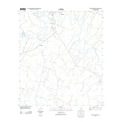 2013 Gonzales South2013 Print · USGSThe Gonzales river bottomlands are captured here in the early twenty-first century as the Guadalupe and San Marcos rivers meet. Genealogists can locate several family landmarks and burial sites including DeWitt Cemetery, Summerville, and Santa Anna Mound.
- 2016 Map of Gonzales South, 2016 Print
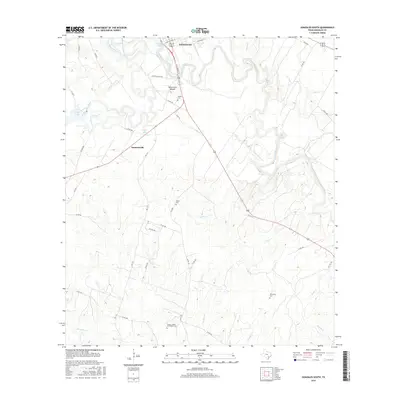 2016 Gonzales South2016 Print · USGSThe river bottoms south of GONZALES are captured in the mid-2010s, showing the intersection of the San Marcos River and the Guadalupe River. Researchers can trace rural lineages through local landmarks like Santa Anna Mound and family burial sites including DeWitt Cem and Terrysville Cem.
- 2019 Map of Gonzales South, 2019 Print
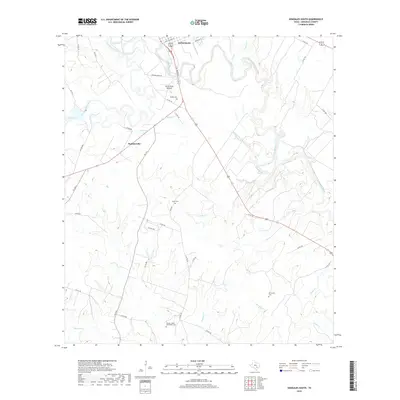 2019 Gonzales South2019 Print · USGSThe rural landscape south of Gonzales is documented here in the late twenty-teens, showing the river-fed terrain where the Guadalupe and San Marcos meet. Genealogists can locate several family burial sites including DeWitt Cem and the Carson - Powe - Gescheidle Cem.
- 2022 Map of Gonzales South, 2022 Print
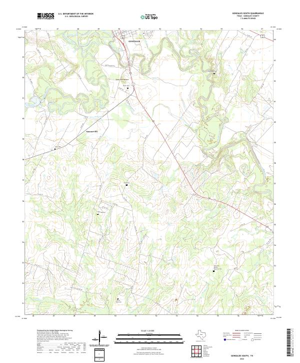 2022 Gonzales South2022 Print · USGSSouth of Gonzales in the early twenty-first century, the Guadalupe river bottomlands reveal a landscape shaped by water and memory. Researchers can locate several historic burial sites like Terryville African American Cem and Lone Oak Cem near the Santa Anna Mound.
End of results
Showing maps 1-9 of 9
Top cities near Summerville
Frequently asked questions
- What are the different types of historical maps available for Summerville?
- What is the oldest map of Summerville?
- Where can I purchase historical maps of Summerville for my home or office?
- Where can I download high-res historical maps of Summerville?
- Are there historical topographic maps available for Summerville?
- Is there historical aerial imagery available for Summerville?
- Where are historical maps of Summerville sourced from?