Old Maps of Pampa, Texas for Academic Research
Study the evolution of Pampa with 9 high-resolution historic maps. Whether you're teaching, researching, or modeling changes in land use, these maps provide essential visual documentation of urban, environmental, and geographic change.
- Analyze long-term change: Track patterns in development, transportation, and natural features.
- Ideal for environmental or urban studies: Support academic projects with primary historical map data.
- Use in the classroom or lab: Educators and researchers rely on these maps to bring historical context to life.
These maps are a powerful tool for teaching, research, and visualizing how Pampa has changed over the decades.
Pampa, TX maps
(9)- 1954 Map of Amarillo, 1966 Print
 1954 Amarillo1966 Print · USGSThe Texas Panhandle in the mid-1960s shows a landscape of rising industrial power and deep-rooted ranching tradition. Local historians can trace the paths of the Panhandle and Santa Fe railroad or locate sites like the Pantex Ordnance Plant and Mobeetie.2 unique versions available
 - 1958 Map of Amarillo
 1958 Amarillo1958 Print · USGSThe Texas Panhandle in the mid-1950s reveals a landscape of expanding military installations and oil-rich rail towns. Local historians can trace the development of Amarillo Air Force Base or locate smaller settlements like Magic City and New Mobeetie.
 - 1963 Map of Pampa, 1968 Print
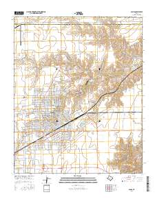
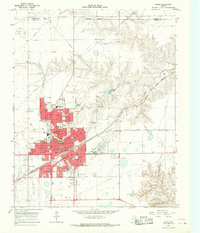 1963 Pampa1968 Print · USGSMid-century Pampa and the nearby community of Mesilla Park are shown during a period of significant energy production and rail activity. Genealogists and local historians can trace neighborhood growth through dozens of named sites like Lee Jr High Sch, Fairview Cem, and Perry-Lefors Airfield.
 - 1982 Map of Pampa, 1983 Print
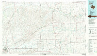 1982 Pampa1983 Print · USGSThe Texas Panhandle in the early eighties shows a landscape shaped by petroleum and ranching along the Canadian River. Genealogists and local historians can trace the paths of the Atchison Topeka and Santa Fe railroad through Pampa, Mobeetie, and Heaton.
 - 2010 Map of Pampa, 2010 Print
 2010 Pampa2010 Print · USGSCovers Pampa, including Gray County, Roberts County, and other nearby areas
 - 2012 Map of Pampa, 2012 Print
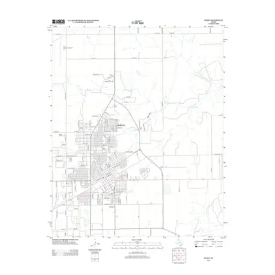 2012 Pampa2012 Print · USGSCovers Pampa, including Gray County, Roberts County, and other nearby areas
 - 2016 Map of Pampa, 2016 Print
 2016 Pampa2016 Print · USGSCovers Pampa, including Gray County, Roberts County, and other nearby areas
 - 2019 Map of Pampa, 2019 Print
 2019 Pampa2019 Print · USGSCovers Pampa, including Gray County, Roberts County, and other nearby areas
 - 2022 Map of Pampa, 2022 Print
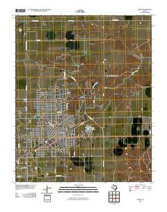
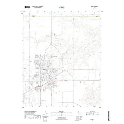
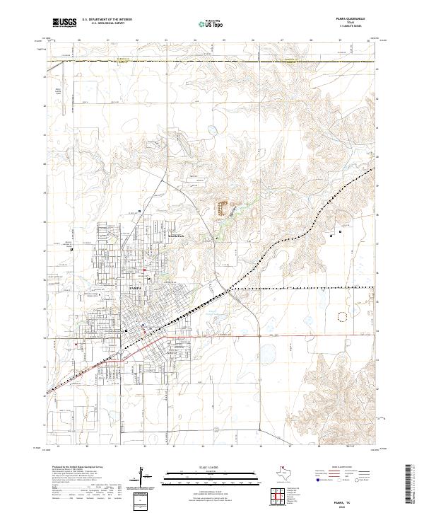 2022 Pampa2022 Print · USGSThe Texas Panhandle city of Pampa is captured here in the early twenty-first century as a bustling county seat and regional center. Genealogists and local historians can trace the community's heart through Fairview Cem, the Gray County Courthouse, and the campus of Clarendon College Pampa Center.
End of results
Showing maps 1-9 of 9
Top cities near Pampa
Frequently asked questions
- What are the different types of historical maps available for Pampa?
- What is the oldest map of Pampa?
- Where can I purchase historical maps of Pampa for my home or office?
- Where can I download high-res historical maps of Pampa?
- Are there historical topographic maps available for Pampa?
- Is there historical aerial imagery available for Pampa?
- Where are historical maps of Pampa sourced from?