Old Maps of Canaan, Texas for Academic Research
Study the evolution of Canaan with 10 high-resolution historic maps. Whether you're teaching, researching, or modeling changes in land use, these maps provide essential visual documentation of urban, environmental, and geographic change.
- Analyze long-term change: Track patterns in development, transportation, and natural features.
- Ideal for environmental or urban studies: Support academic projects with primary historical map data.
- Use in the classroom or lab: Educators and researchers rely on these maps to bring historical context to life.
These maps are a powerful tool for teaching, research, and visualizing how Canaan has changed over the decades.
Canaan, TX maps
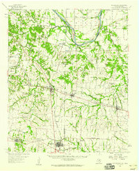
(10)- 1954 Map of Sherman, 1964 Print
 1954 Sherman1964 Print · USGSThe Red River valley and North Texas plains are captured here in the mid-fifties, showing the region as new reservoirs like Lake Texoma and Lavon Reservoir reshaped the land. Genealogists can trace family roots through specific local landmarks like Courtney P O, Pilot Grove Sch, and New Hope Ch.2 unique versions available
 - 1958 Map of Whitesright, 1959 Print
 1958 Whitesright1959 Print · USGSGrayson and Fannin Counties are captured here in the late fifties, showcasing a landscape of thriving rail-towns and quiet farming communities. Researchers can locate dozens of country burial sites and schools, from Sunnyside Cem to the Bethel Sch.2 unique versions available
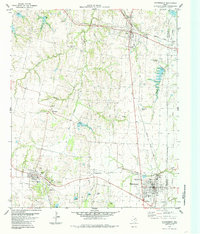
 - 1958 Map of Sherman, 1959 Print
 1958 Sherman1959 Print · USGSNorth Texas and Southern Oklahoma were undergoing significant development in the late fifties as the Red River Valley transit networks matured. Researchers can trace historic family-named locations such as Saddler Bend, the grounds of Perrin AFB, and early shoreline developments at Lake Texoma.
 - 1984 Map of Whitewright, 1985 Print
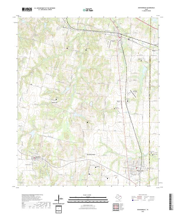
 1984 Whitewright1985 Print · USGSGrayson and Fannin Counties were busy agricultural and rail corridors in the mid-1980s, centered on the junction at Whitewright. Researchers can trace old family sites and rural landmarks like Kentucky Town, Rosehill Cem, and Edwards Chapel.
 - 1985 Map of Sherman, 1991 Print
 1985 Sherman1991 Print · USGSThe borderlands of North Texas and Southern Oklahoma are captured here in the mid-eighties, centered on the expansive waters of Lake Texoma. Researchers can trace the legacy of the regional rail economy through the Missouri-Kansas-Texas RR or explore the geography of Hagerman National Wildlife Refuge and Carpenters Bluff.
 - 2010 Map of Whitewright, 2010 Print
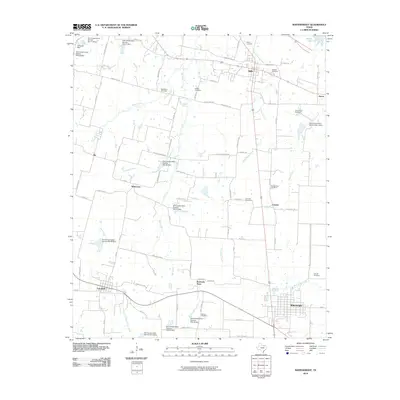 2010 Whitewright2010 Print · USGSCovers Canaan, including Bells, Tom Bean, and other nearby areas
 - 2013 Map of Whitewright, 2013 Print
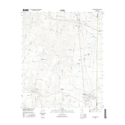
 2013 Whitewright2013 Print · USGSCovers Canaan, including Bells, Tom Bean, and other nearby areas
 - 2016 Map of Whitewright, 2016 Print
 2016 Whitewright2016 Print · USGSCovers Canaan, including Bells, Tom Bean, and other nearby areas
 - 2019 Map of Whitewright, 2019 Print
 2019 Whitewright2019 Print · USGSCovers Canaan, including Bells, Tom Bean, and other nearby areas
 - 2022 Map of Whitewright, 2022 Print
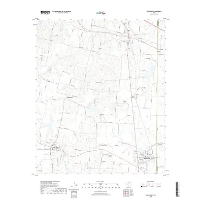
 2022 Whitewright2022 Print · USGSGrayson and Fannin counties appear here in the early 2020s, showing a landscape defined by prairie creek systems and small-town Texas life. Researchers can find numerous family-centric sites like Kentucky Town Cem, Antioch Baptist Cem, and Tom Bean.
End of results
Showing maps 1-10 of 10
Top cities near Canaan
- Sherman historical maps
- Denison historical maps
- Anna historical maps
- Bonham historical maps
- Van Alstyne historical maps
- Howe historical maps
See more
Frequently asked questions
- What are the different types of historical maps available for Canaan?
- What is the oldest map of Canaan?
- Where can I purchase historical maps of Canaan for my home or office?
- Where can I download high-res historical maps of Canaan?
- Are there historical topographic maps available for Canaan?
- Is there historical aerial imagery available for Canaan?
- Where are historical maps of Canaan sourced from?