Old Maps of Grayson County, Texas
Explore 37 old maps of Grayson County, spanning from 1901 to today. These high-resolution historic maps reveal how streets, neighborhoods, landmarks, and natural features evolved over time — perfect for genealogy, metal detecting, research, and local history exploration.
What you can do with these maps:
- See how Grayson County changed over time: Compare historical maps to modern-day views to trace roads, homesites, rail lines & more.
- View detailed metadata: Each map includes creators, publishers, year, scale, and archive source.
- Overlay maps with satellite & LiDAR: Visualize the past alongside modern tools to explore terrain & human change.
- Trusted historical sources: Maps sourced from the USGS, Library of Congress, and other archives.
- Access maps your way: View online, download high-res files, or order prints for personal or research use.
Start exploring old maps of Grayson County to uncover forgotten places, hidden landmarks, and the deep history beneath your feet.
Grayson County, TX maps
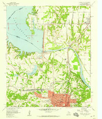
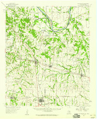
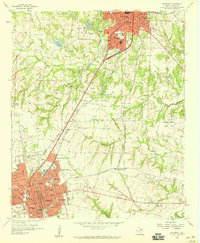
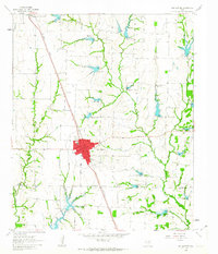
(37)- 1901 Map of Denison
 1901 Denison1901 Print · USGSCovers Grayson County, including Sherman, Denison, and other nearby areas4 unique versions available
 - 1954 Map of Sherman, 1964 Print
 1954 Sherman1964 Print · USGSCovers Grayson County, including Dallas, Fort Worth, and other nearby areas2 unique versions available
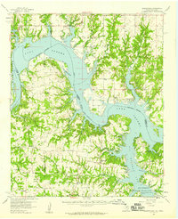
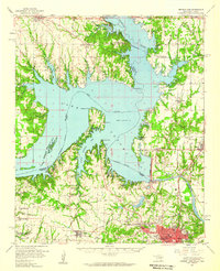
 - 1957 Map of Denison Dam, 1959 Print
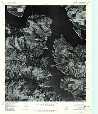
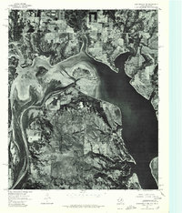
 1957 Denison Dam1959 Print · USGSCovers Grayson County, including Denison, Colbert, and other nearby areas3 unique versions available
 - 1958 Map of Durant, 1959 Print
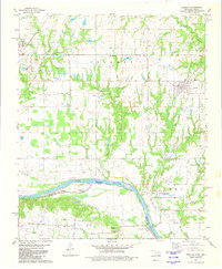
 1958 Durant1959 Print · USGSCovers Grayson County, including Denison, Durant, and other nearby areas3 unique versions available
 - 1958 Map of Dorchester, 1959 Print
 1958 Dorchester1959 Print · USGSCovers Grayson County, including Sherman, Howe, and other nearby areas2 unique versions available
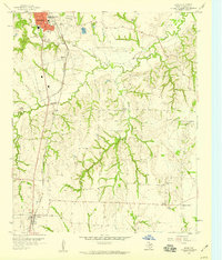
 - 1958 Map of Gordonville, 1959 Print
 1958 Gordonville1959 Print · USGSCovers Grayson County, including Red Branch, Sherwood Shores, and other nearby areas2 unique versions available
 - 1958 Map of Whitesright, 1959 Print
 1958 Whitesright1959 Print · USGSCovers Grayson County, including Denison, Bells, and other nearby areas2 unique versions available
 - 1958 Map of Denison Dam, 1959 Print
 1958 Denison Dam1959 Print · USGSCovers Grayson County, including Denison, Pottsboro, and other nearby areas2 unique versions available
 - 1958 Map of Sherman NW, 1959 Print
 1958 Sherman NW1959 Print · USGSCovers Grayson County, including Sherman, Denison, and other nearby areas3 unique versions available
 - 1958 Map of Whitesboro, 1959 Print
 1958 Whitesboro1959 Print · USGSCovers Grayson County, including Whitesboro, Gunter, and other nearby areas3 unique versions available
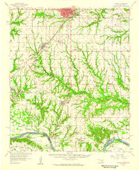
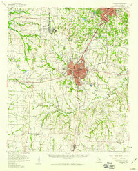
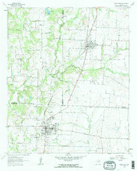
 - 1958 Map of Sherman, 1959 Print
 1958 Sherman1959 Print · USGSCovers Grayson County, including Dallas, Fort Worth, and other nearby areas
 - 1958 Map of Sherman, 1959 Print
 1958 Sherman1959 Print · USGSCovers Grayson County, including Sherman, Denison, and other nearby areas
 - 1958 Map of Sherman, 1959 Print
 1958 Sherman1959 Print · USGSCovers Grayson County, including Sherman, Denison, and other nearby areas3 unique versions available
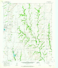
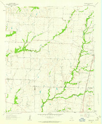
 - 1958 Map of Howe, 1959 Print
 1958 Howe1959 Print · USGSCovers Grayson County, including Sherman, Howe, and other nearby areas3 unique versions available
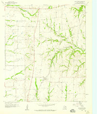
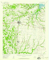
 - 1961 Map of Gunter, 1963 Print
 1961 Gunter1963 Print · USGSCovers Grayson County, including Celina, Howe, and other nearby areas2 unique versions available
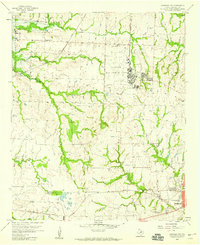
 - 1961 Map of Van Alstyne, 1963 Print
 1961 Van Alstyne1963 Print · USGSCovers Grayson County, including Anna, Van Alstyne, and other nearby areas2 unique versions available
 - 1961 Map of Pilot Point, 1963 Print
 1961 Pilot Point1963 Print · USGSCovers Grayson County, including Pilot Point, Tioga, and other nearby areas3 unique versions available
 - 1961 Map of Marilee, 1963 Print
 1961 Marilee1963 Print · USGSCovers Grayson County, including Celina, Pilot Point, and other nearby areas2 unique versions available
 - 1964 Map of Pilot Grove, 1967 Print
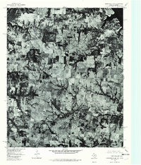
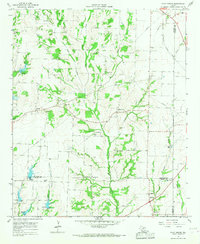 1964 Pilot Grove1967 Print · USGSCovers Grayson County, including Tom Bean, Trenton, and other nearby areas2 unique versions available
 - 1976 Map of Gordonville SE, 1979 Print
 1976 Gordonville SE1979 Print · USGSCovers Grayson County, including Sherwood Shores, Locust, and other nearby areas
 - 1976 Map of Gordonville SW, 1979 Print
 1976 Gordonville SW1979 Print · USGSCovers Grayson County, including Red Branch, Sturgeon, and other nearby areas
 - 1976 Map of Gordonville NW, 1979 Print
 1976 Gordonville NW1979 Print · USGSCovers Grayson County, including Lebanon, Enville, and other nearby areas
 - 1980 Map of Achille, 1981 Print
 1980 Achille1981 Print · USGSCovers Grayson County, including Denison, Colbert, and other nearby areas
 - 1982 Map of Dexter, 1983 Print
 1982 Dexter1983 Print · USGSCovers Grayson County, including Red Branch, Sturgeon, and other nearby areas2 unique versions available
 - 1982 Map of Ethel, 1983 Print
 1982 Ethel1983 Print · USGSCovers Grayson County, including Gunter, Southmayd, and other nearby areas
Showing maps 1-25 of 37
Top cities of Grayson County
- Sherman historical maps
- Denison historical maps
- Van Alstyne historical maps
- Whitesboro historical maps
- Howe historical maps
- Pottsboro historical maps
See more
Frequently asked questions
- What are the different types of historical maps available for Grayson County?
- What is the oldest map of Grayson County?
- Where can I purchase historical maps of Grayson County for my home or office?
- Where can I download high-res historical maps of Grayson County?
- Are there historical topographic maps available for Grayson County?
- Is there historical aerial imagery available for Grayson County?
- Where are historical maps of Grayson County sourced from?