Old Maps of Cross, Texas for Academic Research
Study the evolution of Cross with 9 high-resolution historic maps. Whether you're teaching, researching, or modeling changes in land use, these maps provide essential visual documentation of urban, environmental, and geographic change.
- Analyze long-term change: Track patterns in development, transportation, and natural features.
- Ideal for environmental or urban studies: Support academic projects with primary historical map data.
- Use in the classroom or lab: Educators and researchers rely on these maps to bring historical context to life.
These maps are a powerful tool for teaching, research, and visualizing how Cross has changed over the decades.
Cross, TX maps
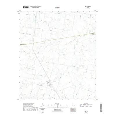
(9)- 1931 Map of Iola
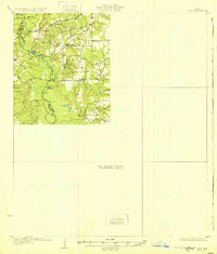 1931 Iola1931 Print · USGSThe Navasota River basin in the mid-1920s shows a landscape of river-bottom lakes and rural outposts. Genealogists can locate family landmarks like Keefer Cem and Nash Cem or the local hub at Burns Store.2 unique versions available
 - 1954 Map of Austin, 1964 Print
 1954 Austin1964 Print · USGSCentral Texas is captured during a period of steady growth as the capital city and its neighboring farm towns began to modernize. Researchers can trace historic rail corridors like the Southern Pacific RR or locate landmarks such as Bergstrom Air Force Base and Pilot Knob.4 unique versions available
 - 1965 Map of Iola, 1967 Print
 1965 Iola1967 Print · USGSGrimes and Madison counties are captured here in the mid-sixties, showing a landscape defined by small-town rail stops and rural churches. Genealogists can trace family locations near Iola, Zion Cem, and several country churches like Concord Ch.3 unique versions available
 - 1993 Map of Bryan
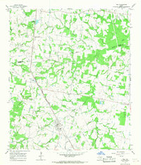
 1993 Bryan1993 Print · USGSBrazos Valley life in the early nineties centered on the rapid growth of College Station and the agricultural heartbeat of the river bottomlands. Genealogists and historians can trace the paths of the Kings Highway, several rail lines, and local landmarks like City Cem and Texas A&M University.
 - 2010 Map of Iola, 2010 Print
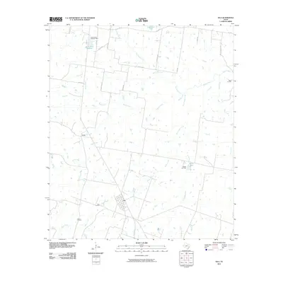 2010 Iola2010 Print · USGSCovers Cross, including Iola, Grimes County, and other nearby areas
 - 2013 Map of Iola, 2013 Print
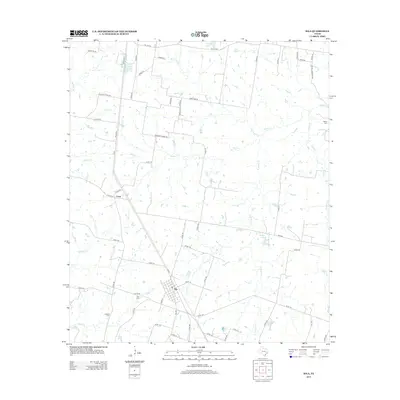 2013 Iola2013 Print · USGSCovers Cross, including Iola, Grimes County, and other nearby areas
 - 2016 Map of Iola, 2016 Print
 2016 Iola2016 Print · USGSCovers Cross, including Iola, Grimes County, and other nearby areas
 - 2019 Map of Iola, 2019 Print
 2019 Iola2019 Print · USGSCovers Cross, including Iola, Grimes County, and other nearby areas
 - 2022 Map of Iola, 2022 Print
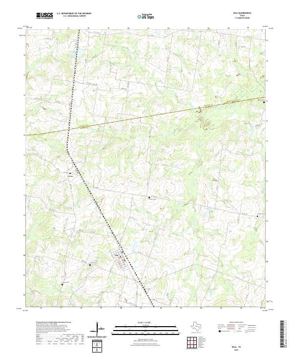 2022 Iola2022 Print · USGSIola and the surrounding Madison and Grimes County borderlands are shown here in the early 2020s. Family historians can locate several historic burial sites, including Concord Cemetery and Howard Cemetery, or trace the winding course of Bedias Creek.
End of results
Showing maps 1-9 of 9
Top cities near Cross
- College Station historical maps
- Bryan historical maps
- Madisonville historical maps
- Kurten historical maps
- Wixon Valley historical maps
Frequently asked questions
- What are the different types of historical maps available for Cross?
- What is the oldest map of Cross?
- Where can I purchase historical maps of Cross for my home or office?
- Where can I download high-res historical maps of Cross?
- Are there historical topographic maps available for Cross?
- Is there historical aerial imagery available for Cross?
- Where are historical maps of Cross sourced from?