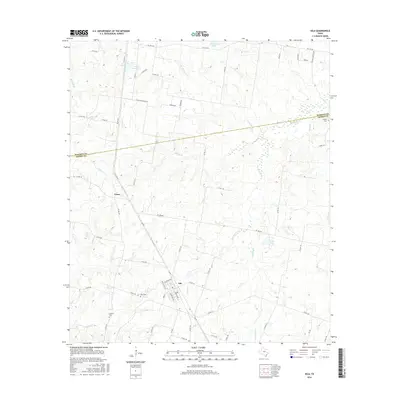
2016 Map of Iola
USGS Topo · Published 2016About this map
The community of Iola serves as a central hub for this rural stretch of East Texas, where the landscape is defined by the winding tributaries of the Trinity River basin. Located along the boundary of Madison and Grimes counties, the area exhibits a transition from upland pastures to the densely wooded corridors of Bedias Cr and North Bedias Cr. Local family history is rooted in the small burial grounds scattered across the terrain, including Zion Cem, Howard Cem, and Bethel Cem near the northern county line. The drainage patterns of Neeley Cr, Big Turkey Cr, and Panky Cr reveal the natural irrigation that supported the region's agricultural development. Settlement is concentrated at the crossroads of Cross and the gridded streets of Iola, while newer water management is evident at the S Zulch Reservoir and several ranch lakes that dot the countryside.
Find a feature on this map
65 named features on this map. Tap any name to fly to it.
Don’t see what you’re looking for? This feature index may not catch every label — zoom into the map to look around manually.
Map Details
Editions of this 2016 Iola Map
This is the sole edition of this map. No revisions or reprints were ever made.
Other maps of this area
1925 · Iola No 2
USGS Topo · 1:48,000
1931 · Iola
USGS Topo · 1:62,500

1954 · Beaumont
USGS Topo · 1:250,000

1954 · Austin
USGS Topo · 1:250,000
1956 · Carlos
USGS Topo · 1:62,500

1957 · Beaumont
USGS Topo · 1:250,000
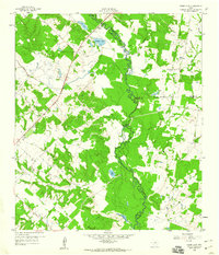
1959 · Clear Lake
USGS Topo · 1:24,000
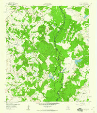
1959 · Reliance
USGS Topo · 1:24,000
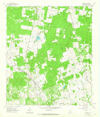
1961 · Singleton
USGS Topo · 1:24,000
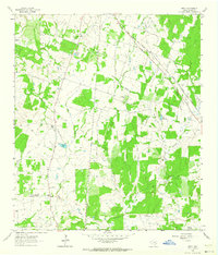
1962 · Keith
USGS Topo · 1:24,000