Old Maps of Richards, Texas for Genealogy
Trace your family roots with 11 historic maps of Richards. These high-res maps reveal old neighborhoods, homesites, landmarks, and streets — helping you uncover where your ancestors lived and how the area evolved over time.
- Explore historic neighborhoods: Identify where your relatives may have lived in the 1800s or 1900s.
- Compare maps over time: Trace the changes in streets, buildings, and landmarks for multi-generational research.
- Perfect for genealogy & ancestry research: Used by family historians and researchers to map out lineage and migration.
These maps are an incredible resource for exploring your personal connection to Richards's past.
Richards, TX maps
(11)- 1954 Map of Beaumont, 1964 Print
 1954 Beaumont1964 Print · USGSSoutheast Texas in the mid-fifties reveals a landscape of massive national forests, emerging reservoirs, and a booming oil economy. Genealogists and researchers can trace rural settlements like Dallardsville and Village Mills or locate early drilling sites at Sour Lake Oil Field.3 unique versions available
 - 1957 Map of Beaumont
 1957 Beaumont1957 Print · USGSSoutheast Texas in the mid-fifties is defined by the timber-rich lands between the Trinity River and Beaumont. Trace the history of the Alabama and Coushatti Indian Reservation or locate early campus sites like Prairie View College.
 - 1962 Map of Richards, 1964 Print
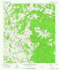 1962 Richards1964 Print · USGSRichards emerges as a vital railroad junction in the early sixties where two major rail lines met at the edge of the deep pine woods. Researchers can trace family history through sites like Bays Chapel Cem, the local High Sch, and rural landmarks like Robinson Hill.
 - 1984 Map of Beaumont
 1984 Beaumont1984 Print · USGSSoutheast Texas in the late seventies and early eighties shows a landscape of expanding reservoirs and deep timber industry. Researchers can trace the development of the Sam Houston National Forest or locate regional landmarks like Grabbs Prairie and the Wynne State Prison Farm.3 unique versions available
 - 1985 Map of Huntsville
 1985 Huntsville1985 Print · USGSThe East Texas piney woods and the Trinity River basin are captured here in the mid-1980s. Genealogists and historians can trace family locations near Old Waverly, Gospel Hill Ch, and the State Prison Farm during this era of regional growth.2 unique versions available
 - 1997 Map of Richards, 2000 Print
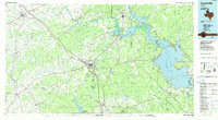
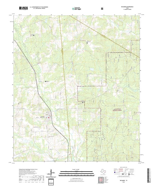
 1997 Richards2000 Print · USGSThe community of Richards and the sprawling Sam Houston National Forest take center stage in this late-century survey. Genealogists and local historians can trace family ties through David Chapel Cemetery, the settlement of Longstreet, and landmarks like Robinson Hill Church.
 - 2010 Map of Richards, 2010 Print
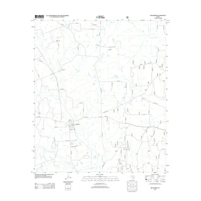
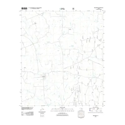 2010 Richards2010 Print · USGSCovers Richards, including Montgomery County, Walker County, and other nearby areas
 - 2013 Map of Richards, 2013 Print
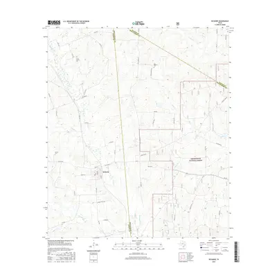
 2013 Richards2013 Print · USGSCovers Richards, including Montgomery County, Walker County, and other nearby areas
 - 2016 Map of Richards, 2016 Print
 2016 Richards2016 Print · USGSCovers Richards, including Montgomery County, Walker County, and other nearby areas
 - 2019 Map of Richards, 2019 Print
 2019 Richards2019 Print · USGSCovers Richards, including Montgomery County, Walker County, and other nearby areas
 - 2022 Map of Richards, 2022 Print
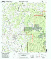
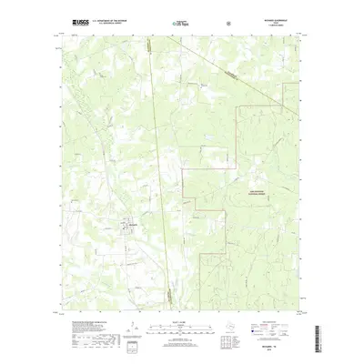
 2022 Richards2022 Print · USGSRichards and the western edge of the Piney Woods are captured in this modern survey. Genealogists can trace family burial sites at Fairview Cem and David Chapel Cem while exploring the reach of the Sam Houston National Forest.
End of results
Showing maps 1-11 of 11
Top cities near Richards
- Conroe historical maps
- Huntsville historical maps
- Navasota historical maps
- Montgomery historical maps
- Anderson historical maps
Frequently asked questions
- What are the different types of historical maps available for Richards?
- What is the oldest map of Richards?
- Where can I purchase historical maps of Richards for my home or office?
- Where can I download high-res historical maps of Richards?
- Are there historical topographic maps available for Richards?
- Is there historical aerial imagery available for Richards?
- Where are historical maps of Richards sourced from?