Old Maps of Redwood, Texas for Genealogy
Trace your family roots with 11 historic maps of Redwood. These high-res maps reveal old neighborhoods, homesites, landmarks, and streets — helping you uncover where your ancestors lived and how the area evolved over time.
- Explore historic neighborhoods: Identify where your relatives may have lived in the 1800s or 1900s.
- Compare maps over time: Trace the changes in streets, buildings, and landmarks for multi-generational research.
- Perfect for genealogy & ancestry research: Used by family historians and researchers to map out lineage and migration.
These maps are an incredible resource for exploring your personal connection to Redwood's past.
Redwood, TX maps
(11)- 1911 Map of San Marcos
 1911 San Marcos1911 Print · USGSCentral Texas at the peak of the railroad era shows a landscape of small farming communities and country schools. Genealogists can trace family footprints across Comanche Flat or locate long-gone sites like Highpoint School and Bethany Church.2 unique versions available
 - 1919 Map of San Marcos
 1919 San Marcos1919 Print · USGSTexas at the close of the Great War was a landscape of river-fed farms and emerging rail corridors between San Marcos and Lockhart. Genealogists can trace family footprints through numerous rural landmarks like Clark Chapel, High Prairie School, and Larremore.
 - 1953 Map of Seguin, 1965 Print
 1953 Seguin1965 Print · USGSSouth Texas in the early fifties shows a thriving river-and-rail economy across the Guadalupe and Colorado basins. Genealogists and historians can trace rail routes like the Southern Pacific through Seguin, locate oil wells, or find the Gary AAF near San Marcos.4 unique versions available
 - 1958 Map of Seguin
 1958 Seguin1958 Print · USGSSouth Texas in the late fifties was a network of river-valley settlements and active oilfields tied together by major rail lines. Genealogists and historians can trace family-named sites across Rabb Prairie, locate the Behring Store, or follow the Southern Pacific through Schulenburg.
 - 1964 Map of San Marcos South, 1966 Print
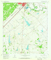 1964 San Marcos South1966 Print · USGSThe rural hills south of San Marcos were defined by a junction of major railroads and creek-fed farms in the mid-1960s. Researchers can trace family history through sites like Pitts Cemetery or locate old school sites like Bowie School near Centerpoint.3 unique versions available
 - 1985 Map of Seguin, 1986 Print
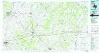 1985 Seguin1986 Print · USGSCentral Texas in the mid-1980s is defined by its vital oil industry and the crossroads of major interstate and rail networks. Genealogists and historians can trace the development of Luling Oil Field, identify the site of Old Flatonia, or locate family landmarks near St James and Palmetto State Park.2 unique versions available
 - 2010 Map of San Marcos South, 2010 Print
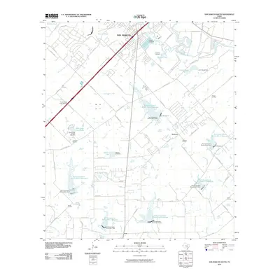 2010 San Marcos South2010 Print · USGSSouth of the San Marcos city center in 2010, the landscape is a mix of expanding retail corridors and rural water management. Researchers can locate family landmarks like Pitts Cemetery and Bading Cemetery or trace the drainage of Cottonwood Creek through numerous conservation reservoirs.
 - 2013 Map of San Marcos South, 2013 Print
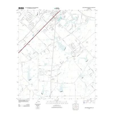 2013 San Marcos South2013 Print · USGSSan Marcos and its southern rural outskirts are shown in the early twenty-first century as modern retail development met traditional farming communities. Researchers can trace local lineage at Bading Cem or Crayton Cem and explore the industrial scale of the Wood State Fish Hatchery.
 - 2016 Map of San Marcos South, 2016 Print
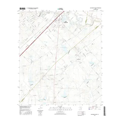 2016 San Marcos South2016 Print · USGSSouth of San Marcos during the mid-2010s, the landscape shows a blend of expanding residential loops and traditional rural outposts. Researchers can trace local history through several burial sites like Redwood Cem and Bading Cem near the banks of Cottonwood Cr.
 - 2019 Map of San Marcos South, 2019 Print
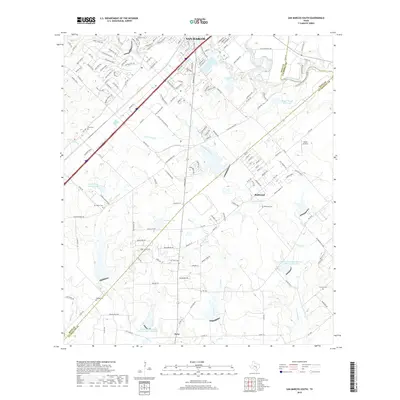 2019 San Marcos South2019 Print · USGSThe southern fringe of San Marcos and the rural outskirts of Hays County are shown here in the late 2010s. Researchers can locate family burial sites like Pitts Cem and Redwood Cem or trace the winding waters of Cottonwood Creek.
 - 2022 Map of San Marcos South, 2022 Print
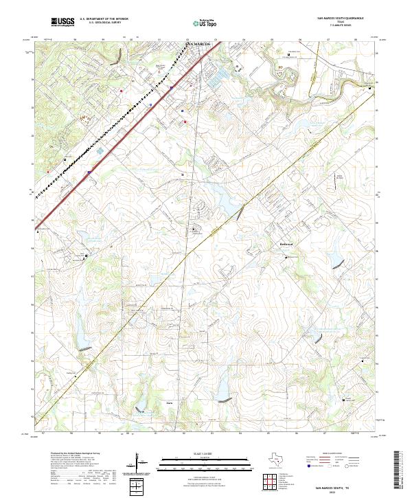 2022 San Marcos South2022 Print · USGSThe San Marcos corridor in the early 2020s shows a landscape of growing settlements and managed water. Genealogists can trace family heritage through numerous burial sites like Cheatham Cem, Redwood Cem, and the Braune Family Cem.
End of results
Showing maps 1-11 of 11
Top cities near Redwood
- New Braunfels historical maps
- San Marcos historical maps
- Seguin historical maps
- Kyle historical maps
- Cibolo historical maps
- Lockhart historical maps
See more
Frequently asked questions
- What are the different types of historical maps available for Redwood?
- What is the oldest map of Redwood?
- Where can I purchase historical maps of Redwood for my home or office?
- Where can I download high-res historical maps of Redwood?
- Are there historical topographic maps available for Redwood?
- Is there historical aerial imagery available for Redwood?
- Where are historical maps of Redwood sourced from?