2000s (21st Century) Maps of Abernathy, Texas
Explore 10 historic maps of Abernathy from the 2000s (21st Century). These maps offer a rare glimpse into what life looked like during the 2000s — showing old roads, neighborhoods, homes, and landmarks that have changed or disappeared over time.
Whether you're researching your family's past, planning a metal detecting trip, or studying how Abernathy's landscape evolved across the 2000s, these high-resolution maps are a powerful tool for exploring the history of this region.
- Focus on a specific era: All maps on this page are from the 2000s, giving you a focused view of this time period.
- See what’s changed: Compare century-old streets, trails, and buildings to today's modern landscape using overlays and satellite layers.
- Research with precision: Use these maps for genealogy, historical research, land use analysis, or educational projects.
- View, download, or print: Maps are fully viewable online in high resolution, and can be downloaded or printed for your own records.
Start exploring Abernathy's history through authentic maps from the 2000s. This is your window into the past.
Abernathy, TX maps
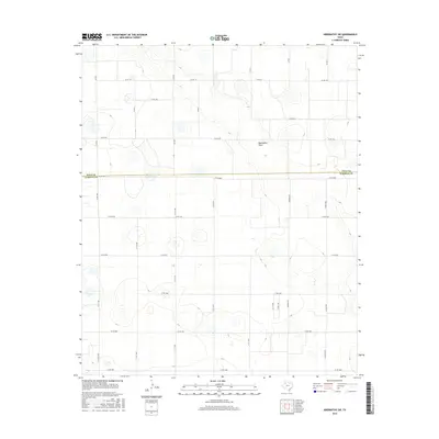
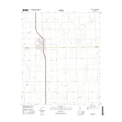
(10)- 2010 Map of Abernathy, 2010 Print
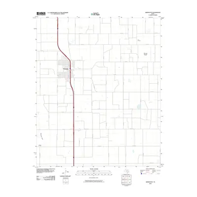 2010 Abernathy2010 Print · USGSCovers Abernathy, including New Deal, Lubbock County, and other nearby areas
 - 2010 Map of Abernathy SW, 2010 Print
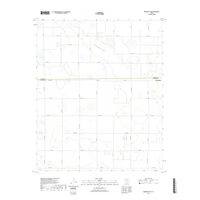
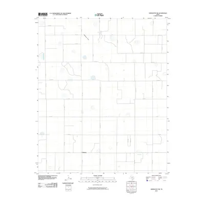 2010 Abernathy SW2010 Print · USGSCovers Abernathy, including Caldwell, Lubbock County, and other nearby areas
 - 2012 Map of Abernathy SW, 2012 Print
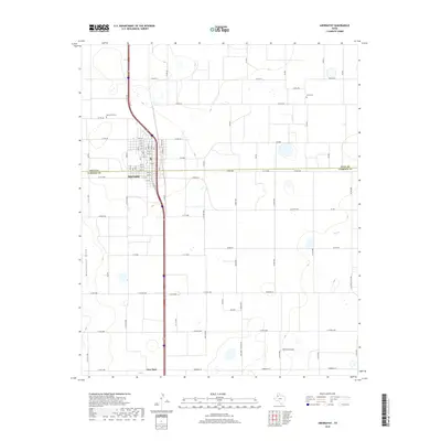
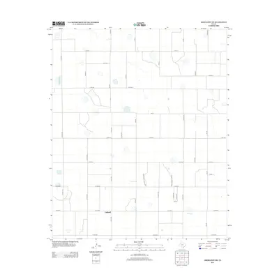 2012 Abernathy SW2012 Print · USGSCovers Abernathy, including Caldwell, Lubbock County, and other nearby areas
 - 2012 Map of Abernathy, 2012 Print
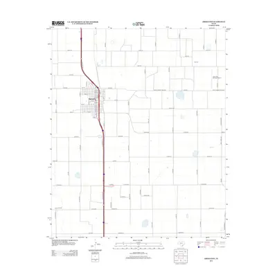 2012 Abernathy2012 Print · USGSCovers Abernathy, including New Deal, Lubbock County, and other nearby areas
 - 2016 Map of Abernathy SW, 2016 Print
 2016 Abernathy SW2016 Print · USGSCovers Abernathy, including Caldwell, Lubbock County, and other nearby areas
 - 2016 Map of Abernathy, 2016 Print
 2016 Abernathy2016 Print · USGSCovers Abernathy, including New Deal, Lubbock County, and other nearby areas
 - 2019 Map of Abernathy SW, 2019 Print
 2019 Abernathy SW2019 Print · USGSCovers Abernathy, including Caldwell, Lubbock County, and other nearby areas
 - 2019 Map of Abernathy, 2019 Print
 2019 Abernathy2019 Print · USGSCovers Abernathy, including New Deal, Lubbock County, and other nearby areas
 - 2022 Map of Abernathy, 2022 Print
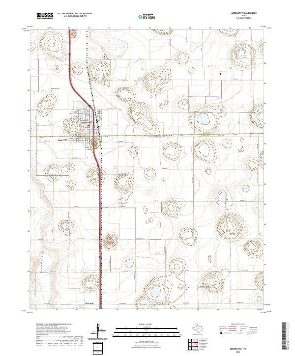 2022 Abernathy2022 Print · USGSAbernathy and its surrounding farmstead grid are captured here in the early 2020s at the junction of the South Plains and Panhandle. Researchers can locate family plots at Abernathy Cem or Strip Cem and trace the natural course of Blackwater Draw.
 - 2022 Map of Abernathy SW, 2022 Print
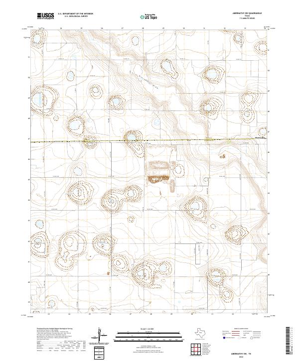 2022 Abernathy SW2022 Print · USGSNorth of Lubbock in the early 2020s, the landscape is a grid of agricultural life and geological depressions. Genealogists and researchers can trace land boundaries along Fm 2528, follow the course of Blackwater Draw, or locate properties near Abernathy.
End of results
Showing maps 1-10 of 10
Top cities near Abernathy
- Lubbock historical maps
- Shallowater historical maps
- Idalou historical maps
- Hale Center historical maps
- Petersburg historical maps
- New Deal historical maps
Frequently asked questions
- What are the different types of historical maps available for Abernathy?
- What is the oldest map of Abernathy?
- Where can I purchase historical maps of Abernathy for my home or office?
- Where can I download high-res historical maps of Abernathy?
- Are there historical topographic maps available for Abernathy?
- Is there historical aerial imagery available for Abernathy?
- Where are historical maps of Abernathy sourced from?