Old Maps of Abernathy, Texas for Academic Research
Study the evolution of Abernathy with 17 high-resolution historic maps. Whether you're teaching, researching, or modeling changes in land use, these maps provide essential visual documentation of urban, environmental, and geographic change.
- Analyze long-term change: Track patterns in development, transportation, and natural features.
- Ideal for environmental or urban studies: Support academic projects with primary historical map data.
- Use in the classroom or lab: Educators and researchers rely on these maps to bring historical context to life.
These maps are a powerful tool for teaching, research, and visualizing how Abernathy has changed over the decades.
Abernathy, TX maps
(17)- 1954 Map of Lubbock, 1958 Print
 1954 Lubbock1958 Print · USGSThe High Plains and Caprock region of West Texas come alive in the mid-1950s, showing a landscape defined by oil discovery and the Brazos River headwaters. Genealogists and historians can trace rail-connected towns like Roaring Springs, find the Pleasant Valley church, or locate family-named landmarks such as Soldier Mound.4 unique versions available
 - 1957 Map of Abernathy, 1958 Print
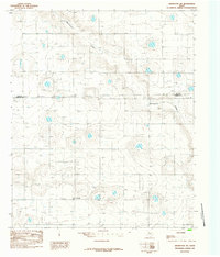
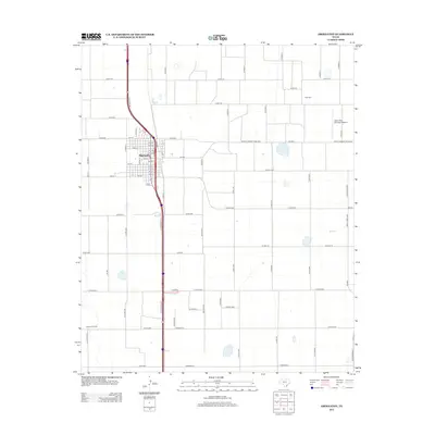
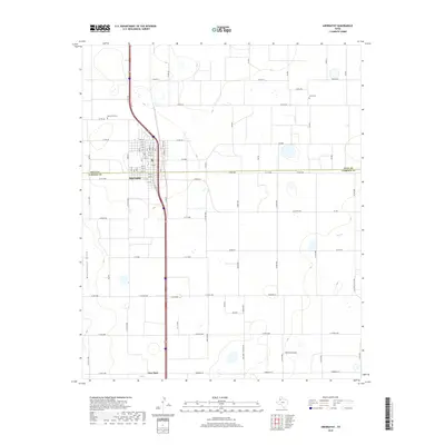
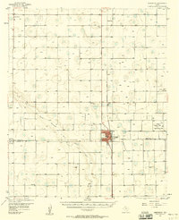 1957 Abernathy1958 Print · USGSThe High Plains of the Texas Panhandle appear here in the mid-fifties as a landscape of emerging oil fields and steady rail commerce. Researchers can trace rural genealogy through the IOOF Cem, Center Ch, and the outlying community of Cotton Center.2 unique versions available
 - 1976 Map of Abernathy SE, 1978 Print
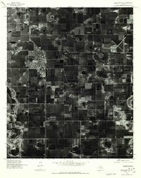 1976 Abernathy SE1978 Print · USGSThe Lubbock area appears in sharp detail during the mid-seventies, defined by the industrial grid of the High Plains. Trace the early footprint of Abernathy and the natural drainage of Blackwater amid a landscape of circular irrigation fields.
 - 1976 Map of Abernathy SW, 1978 Print
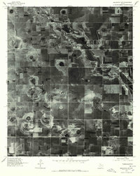 1976 Abernathy SW1978 Print · USGSLubbock County is revealed through 1970s aerial imagery, showcasing the distinct agricultural geometry of the Texas High Plains. Researchers can trace the natural course of Blackwater Draw and examine the boundary area near Caldwell.
 - 1985 Map of Abernathy
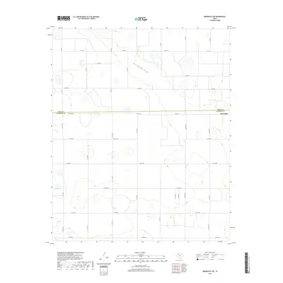
 1985 Abernathy1985 Print · USGSAbernathy and the surrounding South Plains are captured in the mid-1980s as the region's agricultural and energy infrastructure expanded across the Hale and Lubbock county line. Researchers can trace the layout of Abernathy, the community of New Deal, and landmarks like the Abernathy Municipal Airport.
 - 1985 Map of Abernathy SW
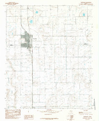
 1985 Abernathy SW1985 Print · USGSThe High Plains of the Texas Panhandle are captured here in the mid-1980s, showing a landscape defined by industrial agriculture and rural boundaries. Genealogists and local historians can locate the settlement of Caldwell or trace the path of Blackwater Draw past a local Gravel Pit.
 - 1986 Map of Lubbock
 1986 Lubbock1986 Print · USGSLubbock and the surrounding High Plains are documented in the mid-eighties as a structured grid of agricultural tracts and growing urban centers. Genealogists and local historians can trace family-named areas like Heckville, old rail stops on the Atchison Topeka and Santa Fe, and the winding path of Yellow House Canyon.2 unique versions available
 - 2010 Map of Abernathy, 2010 Print
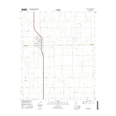
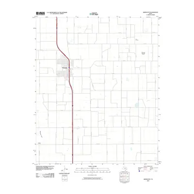 2010 Abernathy2010 Print · USGSCovers Abernathy, including New Deal, Lubbock County, and other nearby areas
 - 2010 Map of Abernathy SW, 2010 Print
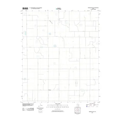 2010 Abernathy SW2010 Print · USGSCovers Abernathy, including Caldwell, Lubbock County, and other nearby areas
 - 2012 Map of Abernathy SW, 2012 Print
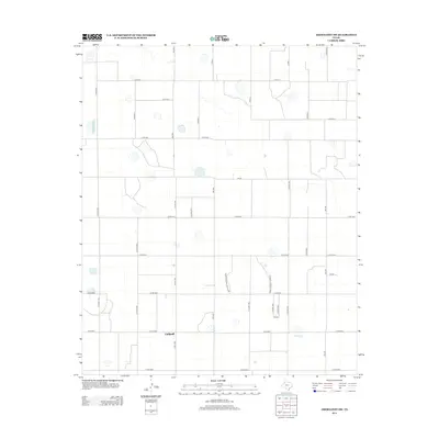 2012 Abernathy SW2012 Print · USGSCovers Abernathy, including Caldwell, Lubbock County, and other nearby areas
 - 2012 Map of Abernathy, 2012 Print
 2012 Abernathy2012 Print · USGSCovers Abernathy, including New Deal, Lubbock County, and other nearby areas
 - 2016 Map of Abernathy SW, 2016 Print
 2016 Abernathy SW2016 Print · USGSCovers Abernathy, including Caldwell, Lubbock County, and other nearby areas
 - 2016 Map of Abernathy, 2016 Print
 2016 Abernathy2016 Print · USGSCovers Abernathy, including New Deal, Lubbock County, and other nearby areas
 - 2019 Map of Abernathy SW, 2019 Print
 2019 Abernathy SW2019 Print · USGSCovers Abernathy, including Caldwell, Lubbock County, and other nearby areas
 - 2019 Map of Abernathy, 2019 Print
 2019 Abernathy2019 Print · USGSCovers Abernathy, including New Deal, Lubbock County, and other nearby areas
 - 2022 Map of Abernathy, 2022 Print
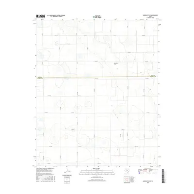
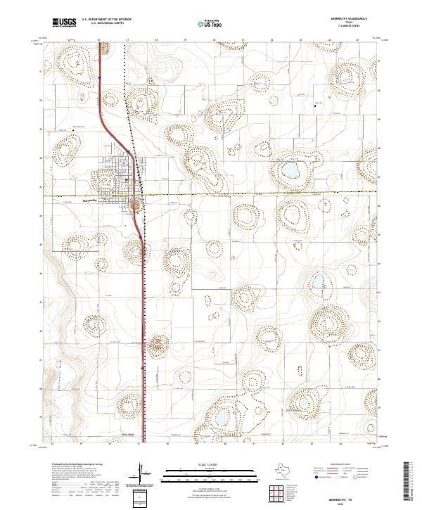 2022 Abernathy2022 Print · USGSAbernathy and its surrounding farmstead grid are captured here in the early 2020s at the junction of the South Plains and Panhandle. Researchers can locate family plots at Abernathy Cem or Strip Cem and trace the natural course of Blackwater Draw.
 - 2022 Map of Abernathy SW, 2022 Print
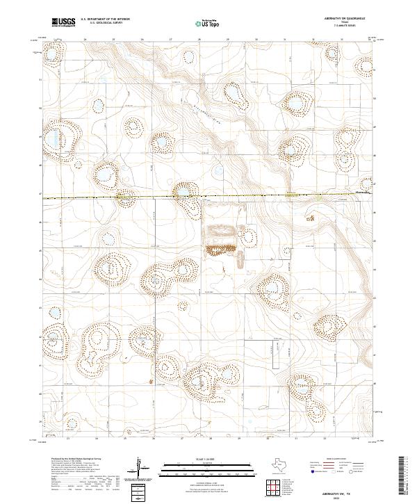 2022 Abernathy SW2022 Print · USGSNorth of Lubbock in the early 2020s, the landscape is a grid of agricultural life and geological depressions. Genealogists and researchers can trace land boundaries along Fm 2528, follow the course of Blackwater Draw, or locate properties near Abernathy.
End of results
Showing maps 1-17 of 17
Top cities near Abernathy
- Lubbock historical maps
- Shallowater historical maps
- Idalou historical maps
- Hale Center historical maps
- Petersburg historical maps
- New Deal historical maps
Frequently asked questions
- What are the different types of historical maps available for Abernathy?
- What is the oldest map of Abernathy?
- Where can I purchase historical maps of Abernathy for my home or office?
- Where can I download high-res historical maps of Abernathy?
- Are there historical topographic maps available for Abernathy?
- Is there historical aerial imagery available for Abernathy?
- Where are historical maps of Abernathy sourced from?