Old Maps of Cotton Center, Texas for Hiking & Exploration
Hike through history with 10 historic maps of Cotton Center. Explore old trails, ghost towns, and forgotten backroads — perfect for outdoor adventurers and local explorers.
- Rediscover forgotten places: Map out old mining camps, roads, and footpaths that no longer exist on modern maps.
- Layer with modern tools: Combine with LiDAR or satellite views to plan hikes through historical terrain.
- Made for exploration: Popular among hikers, overlanders, and local history lovers.
Use these maps to find adventure and explore the hidden past of Cotton Center.
Cotton Center, TX maps
(10)- 1954 Map of Lubbock, 1958 Print
 1954 Lubbock1958 Print · USGSThe High Plains and Caprock region of West Texas come alive in the mid-1950s, showing a landscape defined by oil discovery and the Brazos River headwaters. Genealogists and historians can trace rail-connected towns like Roaring Springs, find the Pleasant Valley church, or locate family-named landmarks such as Soldier Mound.4 unique versions available
 - 1957 Map of Abernathy, 1958 Print
 1957 Abernathy1958 Print · USGSThe High Plains of the Texas Panhandle appear here in the mid-fifties as a landscape of emerging oil fields and steady rail commerce. Researchers can trace rural genealogy through the IOOF Cem, Center Ch, and the outlying community of Cotton Center.2 unique versions available
 - 1976 Map of Abernathy NW, 1978 Print
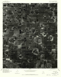 1976 Abernathy NW1978 Print · USGSAgricultural life in Hale County during the mid-seventies is captured here through detailed aerial imagery. Trace the development of local farmsteads near Cotton Center and the winding path of Blackwater Draw across the Llano Estacado.
 - 1985 Map of Cotton Center
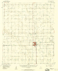
 1985 Cotton Center1985 Print · USGSThe Texas High Plains around the mid-1980s reveal a landscape defined by industrial-scale agriculture and groundwater management. Genealogists and local historians can trace the townsite of Cotton Center and the natural paths of Crawfish Draw and Blackwater Draw.
 - 1986 Map of Lubbock
 1986 Lubbock1986 Print · USGSLubbock and the surrounding High Plains are documented in the mid-eighties as a structured grid of agricultural tracts and growing urban centers. Genealogists and local historians can trace family-named areas like Heckville, old rail stops on the Atchison Topeka and Santa Fe, and the winding path of Yellow House Canyon.2 unique versions available
 - 2010 Map of Cotton Center, 2010 Print
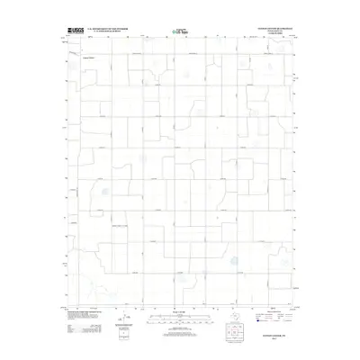
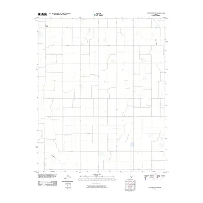 2010 Cotton Center2010 Print · USGSCovers Cotton Center, including Hale County, United States, and other nearby areas
 - 2012 Map of Cotton Center, 2012 Print
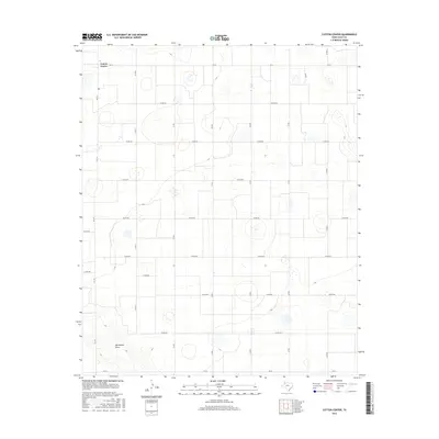
 2012 Cotton Center2012 Print · USGSCovers Cotton Center, including Hale County, United States, and other nearby areas
 - 2016 Map of Cotton Center, 2016 Print
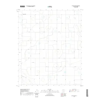
 2016 Cotton Center2016 Print · USGSCovers Cotton Center, including Hale County, United States, and other nearby areas
 - 2019 Map of Cotton Center, 2019 Print
 2019 Cotton Center2019 Print · USGSCovers Cotton Center, including Hale County, United States, and other nearby areas
 - 2022 Map of Cotton Center, 2022 Print
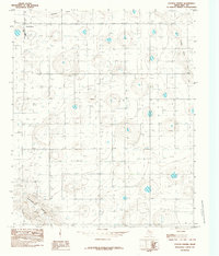
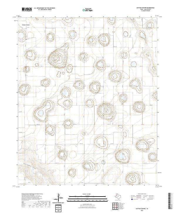 2022 Cotton Center2022 Print · USGSHale County's agricultural heartland is captured in this recent survey, showcasing the orderly grid of the Texas High Plains. Researchers can trace local routes around Cotton Center and the natural path of Blackwater Draw across the landscape.
End of results
Showing maps 1-10 of 10
Top cities near Cotton Center
Frequently asked questions
- What are the different types of historical maps available for Cotton Center?
- What is the oldest map of Cotton Center?
- Where can I purchase historical maps of Cotton Center for my home or office?
- Where can I download high-res historical maps of Cotton Center?
- Are there historical topographic maps available for Cotton Center?
- Is there historical aerial imagery available for Cotton Center?
- Where are historical maps of Cotton Center sourced from?