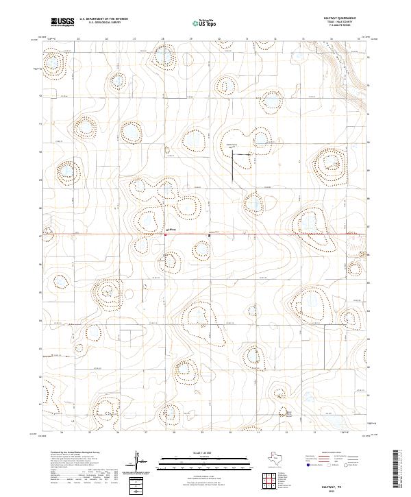
Old Maps of Halfway, Texas for Metal Detecting
Plan your next treasure hunt with 9 historic maps of Halfway. Find old homesites, ghost towns, trails, and gathering spots that may be lost to time — perfect for identifying promising metal detecting locations.
- Locate forgotten sites: Uncover places like long-lost settlements, abandoned rail lines, or gathering spots.
- Plan better hunts: Use map overlays combined with LiDAR or satellite views to narrow in on historically rich areas.
- Made for detectorists: Thousands of hobbyists use these maps to discover relics, coins, and hidden history.
Use these historic maps to boost your research and find new opportunities beneath the surface of Halfway.
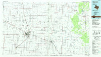
Halfway, TX maps
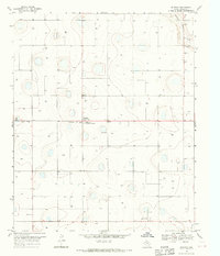
(9)- 1954 Map of Plainview, 1966 Print
 1954 Plainview1966 Print · USGSThe Texas Panhandle and the rugged Caprock Escarpment appear in detail as the region's agricultural and rail networks reached their mid-century peak. Trace family roots and old land patterns through the canyons and plains near Plainview, Palo Duro State Park, and Childress.3 unique versions available
 - 1958 Map of Plainview
 1958 Plainview1958 Print · USGSThe High Plains and Caprock Escarpment meet in the late fifties, showcasing the ranching and rail networks of the Texas Panhandle. Trace family roots and vanished stops along the Panhandle and Santa Fe railroad through Plainview, Silverton, and Matador.
 - 1968 Map of Halfway, 1970 Print
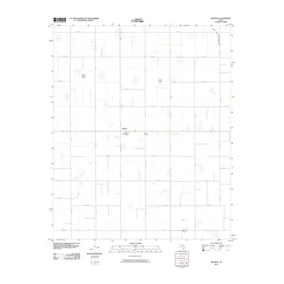
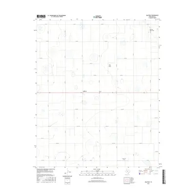
 1968 Halfway1970 Print · USGSAgricultural life in Hale County during the late sixties is defined by a landscape of irrigation and scientific research. Researchers can locate the High Plains Research Foundation, the Halfway Cem, and the private Laney Farm Landing Field among the local farmsteads.
 - 1985 Map of Plainview
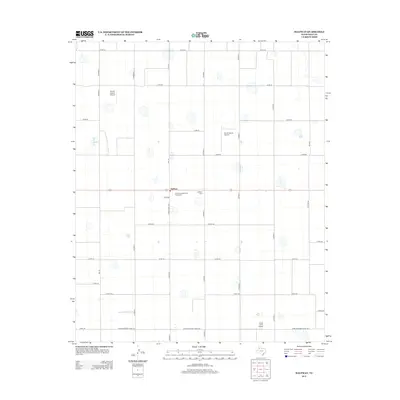
 1985 Plainview1985 Print · USGSThe Texas Panhandle's agricultural heartland and the dramatic escarpment are captured here in the mid-eighties. Genealogists and local historians can trace the rail-side growth of Lockney, the layout of Plainview, and the rugged breaks of Caprock Canyon State Park.2 unique versions available
 - 2010 Map of Halfway, 2010 Print
 2010 Halfway2010 Print · USGSCovers Halfway, including Hale County, United States, and other nearby areas
 - 2012 Map of Halfway, 2012 Print
 2012 Halfway2012 Print · USGSCovers Halfway, including Hale County, United States, and other nearby areas
 - 2016 Map of Halfway, 2016 Print
 2016 Halfway2016 Print · USGSCovers Halfway, including Hale County, United States, and other nearby areas
 - 2019 Map of Halfway, 2019 Print
 2019 Halfway2019 Print · USGSCovers Halfway, including Hale County, United States, and other nearby areas
 - 2022 Map of Halfway, 2022 Print
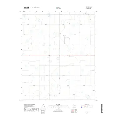
 2022 Halfway2022 Print · USGSHale County's agricultural heartland is captured here in the early twenty-first century, showcasing a landscape of high-plains farming and private aviation. Genealogists and local historians can locate Halfway Cem and trace rural land holdings near Smith Farms Airport and Running Water Draw.
End of results
Showing maps 1-9 of 9
Top cities near Halfway
- Plainview historical maps
- Olton historical maps
- Hale Center historical maps
- Hart historical maps
- Kress historical maps
- Edmonson historical maps
Frequently asked questions
- What are the different types of historical maps available for Halfway?
- What is the oldest map of Halfway?
- Where can I purchase historical maps of Halfway for my home or office?
- Where can I download high-res historical maps of Halfway?
- Are there historical topographic maps available for Halfway?
- Is there historical aerial imagery available for Halfway?
- Where are historical maps of Halfway sourced from?