Old Maps of Mayfield, Texas for Hiking & Exploration
Hike through history with 9 historic maps of Mayfield. Explore old trails, ghost towns, and forgotten backroads — perfect for outdoor adventurers and local explorers.
- Rediscover forgotten places: Map out old mining camps, roads, and footpaths that no longer exist on modern maps.
- Layer with modern tools: Combine with LiDAR or satellite views to plan hikes through historical terrain.
- Made for exploration: Popular among hikers, overlanders, and local history lovers.
Use these maps to find adventure and explore the hidden past of Mayfield.
Mayfield, TX maps
(9)- 1954 Map of Plainview, 1966 Print
 1954 Plainview1966 Print · USGSThe Texas Panhandle and the rugged Caprock Escarpment appear in detail as the region's agricultural and rail networks reached their mid-century peak. Trace family roots and old land patterns through the canyons and plains near Plainview, Palo Duro State Park, and Childress.3 unique versions available
 - 1958 Map of Plainview
 1958 Plainview1958 Print · USGSThe High Plains and Caprock Escarpment meet in the late fifties, showcasing the ranching and rail networks of the Texas Panhandle. Trace family roots and vanished stops along the Panhandle and Santa Fe railroad through Plainview, Silverton, and Matador.
 - 1968 Map of Hale Center SW, 1970 Print
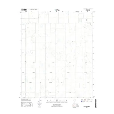
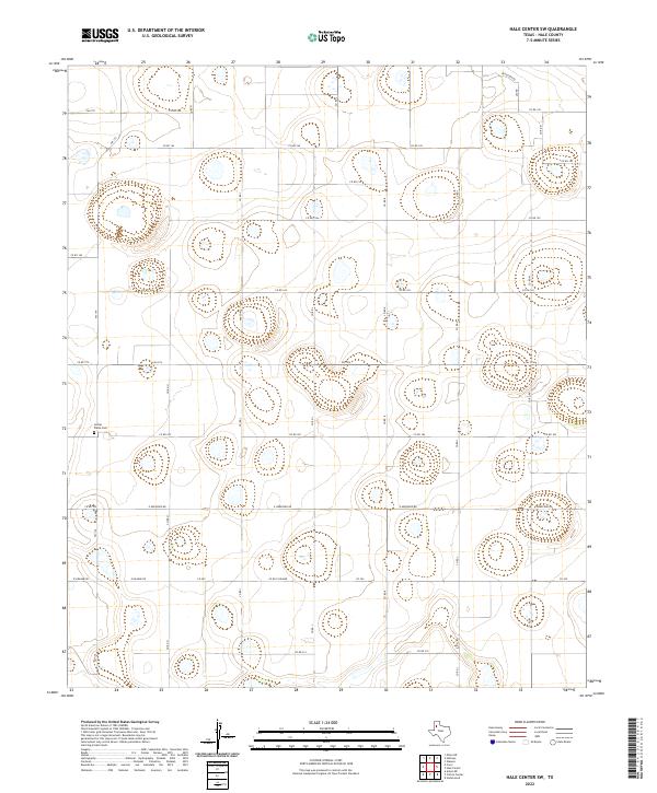
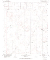 1968 Hale Center SW1970 Print · USGSHale County was a landscape of cotton gins and private airfields in the late sixties. Genealogists and local historians can locate the Mayfield community, the Center Plains cemetery, and farm-based aviation sites like the Sherrod Landing Strip.
 - 1985 Map of Plainview
 1985 Plainview1985 Print · USGSThe Texas Panhandle's agricultural heartland and the dramatic escarpment are captured here in the mid-eighties. Genealogists and local historians can trace the rail-side growth of Lockney, the layout of Plainview, and the rugged breaks of Caprock Canyon State Park.2 unique versions available
 - 2010 Map of Hale Center SW, 2010 Print
 2010 Hale Center SW2010 Print · USGSCovers Mayfield, including Hale County, United States, and other nearby areas
 - 2012 Map of Hale Center SW, 2012 Print
 2012 Hale Center SW2012 Print · USGSCovers Mayfield, including Hale County, United States, and other nearby areas
 - 2016 Map of Hale Center SW, 2016 Print
 2016 Hale Center SW2016 Print · USGSCovers Mayfield, including Hale County, United States, and other nearby areas
 - 2019 Map of Hale Center SW, 2019 Print
 2019 Hale Center SW2019 Print · USGSCovers Mayfield, including Hale County, United States, and other nearby areas
 - 2022 Map of Hale Center SW, 2022 Print
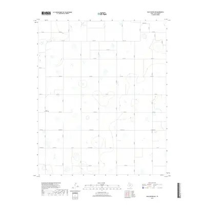
 2022 Hale Center SW2022 Print · USGSThe Llano Estacado of Hale County is captured here in the early twenty-first century, showing the enduring grid of West Texas agriculture. Genealogists and local historians can locate the Center Plains Cem and trace rural family routes like Ferguson Rd and Nix Rd.
End of results
Showing maps 1-9 of 9
Top cities near Mayfield
Frequently asked questions
- What are the different types of historical maps available for Mayfield?
- What is the oldest map of Mayfield?
- Where can I purchase historical maps of Mayfield for my home or office?
- Where can I download high-res historical maps of Mayfield?
- Are there historical topographic maps available for Mayfield?
- Is there historical aerial imagery available for Mayfield?
- Where are historical maps of Mayfield sourced from?