Old Maps of Six Point, Texas for Genealogy
Trace your family roots with 9 historic maps of Six Point. These high-res maps reveal old neighborhoods, homesites, landmarks, and streets — helping you uncover where your ancestors lived and how the area evolved over time.
- Explore historic neighborhoods: Identify where your relatives may have lived in the 1800s or 1900s.
- Compare maps over time: Trace the changes in streets, buildings, and landmarks for multi-generational research.
- Perfect for genealogy & ancestry research: Used by family historians and researchers to map out lineage and migration.
These maps are an incredible resource for exploring your personal connection to Six Point's past.
Six Point, TX maps
(9)- 1954 Map of Plainview, 1966 Print
 1954 Plainview1966 Print · USGSThe Texas Panhandle and the rugged Caprock Escarpment appear in detail as the region's agricultural and rail networks reached their mid-century peak. Trace family roots and old land patterns through the canyons and plains near Plainview, Palo Duro State Park, and Childress.3 unique versions available
 - 1958 Map of Plainview
 1958 Plainview1958 Print · USGSThe High Plains and Caprock Escarpment meet in the late fifties, showcasing the ranching and rail networks of the Texas Panhandle. Trace family roots and vanished stops along the Panhandle and Santa Fe railroad through Plainview, Silverton, and Matador.
 - 1968 Map of Hale Center, 1970 Print
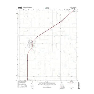
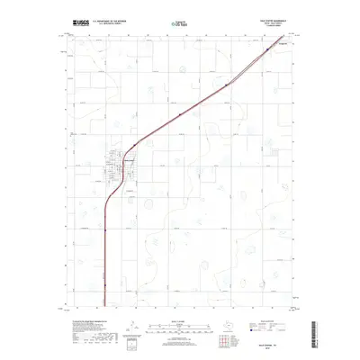
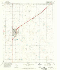 1968 Hale Center1970 Print · USGSHale Center and the surrounding plains are captured in the late sixties as the local agricultural economy thrived alongside the railroad. Researchers can trace the legacy of local families at the Hale Center Cem or locate rural landmarks like Akin Sch and the Boyd Airstrip.
 - 1985 Map of Plainview
 1985 Plainview1985 Print · USGSThe Texas Panhandle's agricultural heartland and the dramatic escarpment are captured here in the mid-eighties. Genealogists and local historians can trace the rail-side growth of Lockney, the layout of Plainview, and the rugged breaks of Caprock Canyon State Park.2 unique versions available
 - 2010 Map of Hale Center, 2010 Print
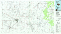
 2010 Hale Center2010 Print · USGSCovers Six Point, including Hale Center, Hale County, and other nearby areas
 - 2012 Map of Hale Center, 2012 Print
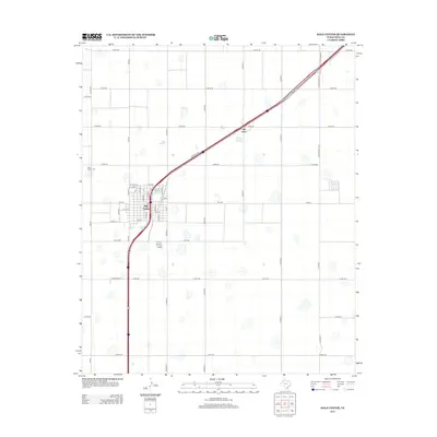 2012 Hale Center2012 Print · USGSCovers Six Point, including Hale Center, Hale County, and other nearby areas
 - 2016 Map of Hale Center, 2016 Print
 2016 Hale Center2016 Print · USGSCovers Six Point, including Hale Center, Hale County, and other nearby areas
 - 2019 Map of Hale Center, 2019 Print
 2019 Hale Center2019 Print · USGSCovers Six Point, including Hale Center, Hale County, and other nearby areas
 - 2022 Map of Hale Center, 2022 Print
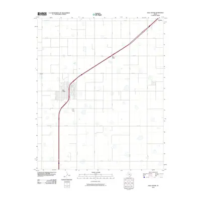
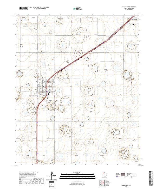 2022 Hale Center2022 Print · USGSHale Center and the surrounding plains of Hale County are captured in the early 2020s, showcasing the area's agricultural grid. Local researchers can trace family landmarks like the Hale Center Cem or the small settlement of Furguson.
End of results
Showing maps 1-9 of 9
Top cities near Six Point
- Plainview historical maps
- Hale Center historical maps
- Petersburg historical maps
- Edmonson historical maps
Frequently asked questions
- What are the different types of historical maps available for Six Point?
- What is the oldest map of Six Point?
- Where can I purchase historical maps of Six Point for my home or office?
- Where can I download high-res historical maps of Six Point?
- Are there historical topographic maps available for Six Point?
- Is there historical aerial imagery available for Six Point?
- Where are historical maps of Six Point sourced from?