1980s Maps of Hall County, Texas
Explore 12 historic maps of Hall County from the 1980s. These maps offer a rare glimpse into what life looked like during the 1980s — showing old roads, neighborhoods, homes, and landmarks that have changed or disappeared over time.
Whether you're researching your family's past, planning a metal detecting trip, or studying how Hall County's landscape evolved across the 1980s, these high-resolution maps are a powerful tool for exploring the history of this region.
- Focus on a specific era: All maps on this page are from the 1980s, giving you a focused view of this time period.
- See what’s changed: Compare century-old streets, trails, and buildings to today's modern landscape using overlays and satellite layers.
- Research with precision: Use these maps for genealogy, historical research, land use analysis, or educational projects.
- View, download, or print: Maps are fully viewable online in high resolution, and can be downloaded or printed for your own records.
Start exploring Hall County's history through authentic maps from the 1980s. This is your window into the past.
Hall County, TX maps
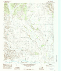
(12)- 1984 Map of Estelline NW, 1985 Print
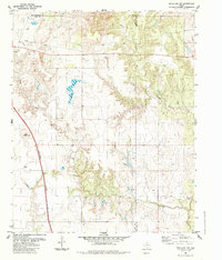 1984 Estelline NW1985 Print · USGSThe Texas Panhandle ranchlands appear in transition during the mid-1980s, where Hall, Childress, and Collingsworth counties meet. Researchers can trace the path of the Burlington Northern railroad or locate water sources like Bryants Lake and several working corrals.
 - 1985 Map of Lesley
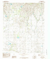 1985 Lesley1985 Print · USGSThe Texas Panhandle in the mid-eighties shows a landscape of deep creek breaks and isolated windmills near the Hall-Donley line. Researchers can trace the community of Lesley, the local Cem, and small water features like Finger Lake and Handcock Lake.
 - 1985 Map of Hughes Canyon
 1985 Hughes Canyon1985 Print · USGSThe Texas Panhandle breaks at the Briscoe and Hall county line are captured here in the mid-1980s. Researchers can trace ranching landmarks from the level Antelope Flats to the deep cuts of Hughes Canyon and Palo Duro Canyon.
 - 1985 Map of Memphis
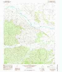
 1985 Memphis1985 Print · USGSThe Texas Panhandle town of Memphis is captured here in the mid-eighties, showing the intersection of ranching life and town infrastructure. Genealogists and local historians can locate several Cem sites, the Municipal Airport, and the site of a Drive-In Theater.
 - 1985 Map of Brice
 1985 Brice1985 Print · USGSThe Texas Panhandle at the edge of the Caprock is captured here in the mid-1980s, where the high plains meet the breaks of the Red River. Genealogists and local historians can trace the rural layout of Brice and South Brice or locate Sink Lake and Battle Creek.
 - 1985 Map of Estelline
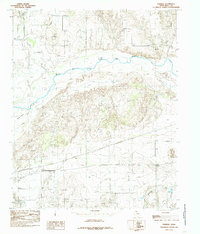
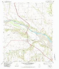 1985 Estelline1985 Print · USGSThe Hall County plains meet the Red River breaks in the mid-1980s as the railroad defines local life. Genealogists can locate Newlin Cem and Cem, while researchers can trace the Burlington Northern tracks through Newlin and Estelline.
 - 1985 Map of Memphis NW
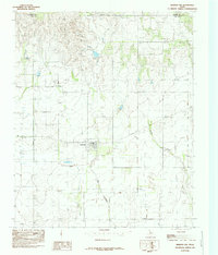 1985 Memphis NW1985 Print · USGSHall County ranching and small-town life are captured in the mid-1980s as the community of Lakeview stands against the Panhandle landscape. Genealogists and local historians can trace the town grid, the nearby Cem, and the winding paths of Oaks Creek and Spring Creek.
 - 1985 Map of Plaska
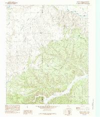
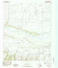 1985 Plaska1985 Print · USGSHall County's river-cut breaks are captured here in the mid-1980s, showcasing a landscape shaped by the Texas Panhandle's seasonal watercourses. Researchers can trace the wide path of the Prairie Dog Town Fork Red River past Goat Island and the small community of Plaska.
 - 1985 Map of Heel Fly Draw
 1985 Heel Fly Draw1985 Print · USGSHall County ranch lands are captured in the mid-eighties, showing the rugged breaks where the Prairie Dog Town Fork Red River meets the plains. Trace local landmarks like Heel Fly Draw, John Mann Creek, and various livestock tanks used for generations.
 - 1985 Map of Parnell
 1985 Parnell1985 Print · USGSHall County in the mid-1980s is defined by the convergence of major river forks and the quiet rural center of Parnell. Trace the landscape's early development through landmarks like Goat Island, the Little Red River, and a local Cem.
 - 1986 Map of Childress
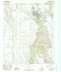
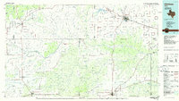 1986 Childress1986 Print · USGSTexas ranching and conservation lands come to life in this mid-eighties survey of the Pease River country. Genealogists and historians can trace family roots through Matador, find the Matador Cem, or locate the Burlington Northern line through Childress.2 unique versions available
 - 1986 Map of Wellington
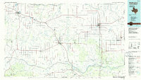 1986 Wellington1986 Print · USGSThe Texas Panhandle in the 1980s shows a landscape of cattle ranching and rail-dependent towns along the Burlington Northern. Trace family history and local industry through locations like the Citizens Cem, Greenbelt Reservoir, and Mc Knight.2 unique versions available
End of results
Showing maps 1-12 of 12
Top cities of Hall County
Frequently asked questions
- What are the different types of historical maps available for Hall County?
- What is the oldest map of Hall County?
- Where can I purchase historical maps of Hall County for my home or office?
- Where can I download high-res historical maps of Hall County?
- Are there historical topographic maps available for Hall County?
- Is there historical aerial imagery available for Hall County?
- Where are historical maps of Hall County sourced from?