Old Maps of Settlement, Texas for Hiking & Exploration
Hike through history with 9 historic maps of Settlement. Explore old trails, ghost towns, and forgotten backroads — perfect for outdoor adventurers and local explorers.
- Rediscover forgotten places: Map out old mining camps, roads, and footpaths that no longer exist on modern maps.
- Layer with modern tools: Combine with LiDAR or satellite views to plan hikes through historical terrain.
- Made for exploration: Popular among hikers, overlanders, and local history lovers.
Use these maps to find adventure and explore the hidden past of Settlement.
Settlement, TX maps
(9)- 1954 Map of Plainview, 1966 Print
 1954 Plainview1966 Print · USGSThe Texas Panhandle and the rugged Caprock Escarpment appear in detail as the region's agricultural and rail networks reached their mid-century peak. Trace family roots and old land patterns through the canyons and plains near Plainview, Palo Duro State Park, and Childress.3 unique versions available
 - 1958 Map of Plainview
 1958 Plainview1958 Print · USGSThe High Plains and Caprock Escarpment meet in the late fifties, showcasing the ranching and rail networks of the Texas Panhandle. Trace family roots and vanished stops along the Panhandle and Santa Fe railroad through Plainview, Silverton, and Matador.
 - 1967 Map of Tampico Siding, 1969 Print
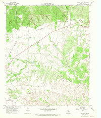 1967 Tampico Siding1969 Print · USGSHall County's canyonlands and ranching country are frozen in time during the late sixties. Trace the FORT WORTH AND DENVER line to Tampico Siding or explore local landmarks like Wolf Flat and Mockingbird Draw.2 unique versions available
 - 1986 Map of Childress
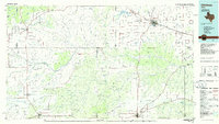 1986 Childress1986 Print · USGSTexas ranching and conservation lands come to life in this mid-eighties survey of the Pease River country. Genealogists and historians can trace family roots through Matador, find the Matador Cem, or locate the Burlington Northern line through Childress.2 unique versions available
 - 2010 Map of Tampico Siding, 2010 Print
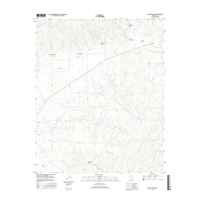
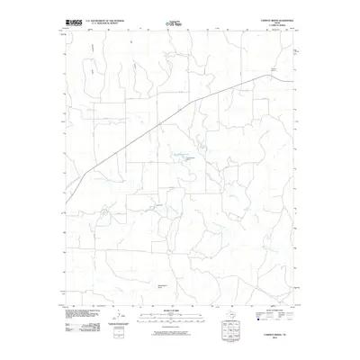 2010 Tampico Siding2010 Print · USGSCovers Settlement, including Tampico, Hall County, and other nearby areas
 - 2012 Map of Tampico Siding, 2012 Print
 2012 Tampico Siding2012 Print · USGSCovers Settlement, including Tampico, Hall County, and other nearby areas
 - 2016 Map of Tampico Siding, 2016 Print
 2016 Tampico Siding2016 Print · USGSCovers Settlement, including Tampico, Hall County, and other nearby areas
 - 2019 Map of Tampico Siding, 2019 Print
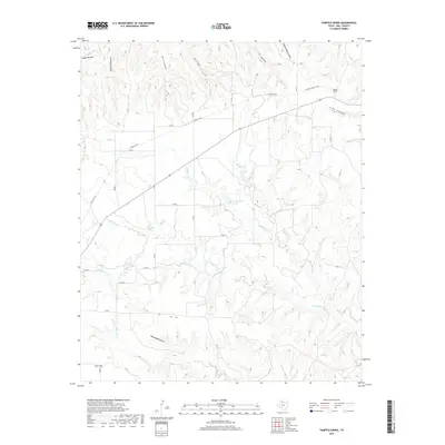 2019 Tampico Siding2019 Print · USGSCovers Settlement, including Tampico, Hall County, and other nearby areas
 - 2022 Map of Tampico Siding, 2022 Print
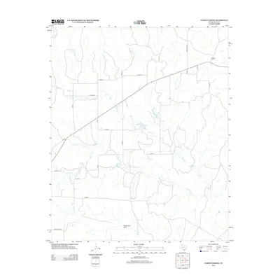
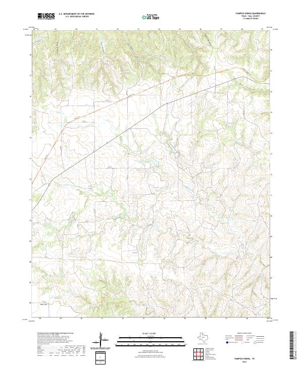 2022 Tampico Siding2022 Print · USGSHall County ranch lands and canyon breaks come alive in this recent survey. Local historians can trace the paths of the Oxbow Trl and Grundy Canyon Trl near the settlement of Wolf Flat and Chamberlain Lake.
End of results
Showing maps 1-9 of 9
Top cities near Settlement
Frequently asked questions
- What are the different types of historical maps available for Settlement?
- What is the oldest map of Settlement?
- Where can I purchase historical maps of Settlement for my home or office?
- Where can I download high-res historical maps of Settlement?
- Are there historical topographic maps available for Settlement?
- Is there historical aerial imagery available for Settlement?
- Where are historical maps of Settlement sourced from?