Old Maps of Hamilton, Texas for Academic Research
Study the evolution of Hamilton with 17 high-resolution historic maps. Whether you're teaching, researching, or modeling changes in land use, these maps provide essential visual documentation of urban, environmental, and geographic change.
- Analyze long-term change: Track patterns in development, transportation, and natural features.
- Ideal for environmental or urban studies: Support academic projects with primary historical map data.
- Use in the classroom or lab: Educators and researchers rely on these maps to bring historical context to life.
These maps are a powerful tool for teaching, research, and visualizing how Hamilton has changed over the decades.
Hamilton, TX maps
(17)- 1888 Map of Hamilton
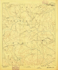 1888 Hamilton1888 Print · USGSCentral Texas during the 1880s is captured here at a moment of early frontier growth and agricultural settlement. Researchers can trace the original locations of rural centers like Gentry Mill, Pottsville, and the remote post office at Indian Gap.
 - 1894 Map of Hamilton
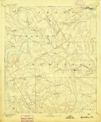 1894 Hamilton1894 Print · USGSCentral Texas ranching and farming communities are captured here in the 1890s, just after the initial frontier period. Genealogists can locate family-named landmarks and early settlements like Gentry Mill, Indian Gap, and Hazle Dell along the Leon River.5 unique versions available
 - 1954 Map of Brownwood, 1955 Print
 1954 Brownwood1955 Print · USGSCentral Texas in the early fifties shows a landscape of rail-linked cattle towns and winding river valleys before modern highway expansion. Genealogists and historians can trace family-named peaks and vanished rail stops like Trickham, Santa Anna, and the Brady Mountains.3 unique versions available
 - 1956 Map of Hamilton, 1957 Print
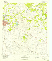
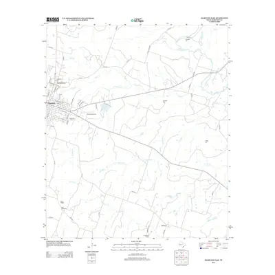
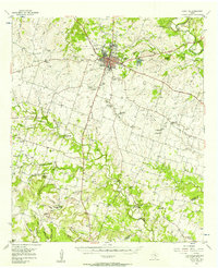 1956 Hamilton1957 Print · USGSHamilton and the surrounding Texas countryside are captured here in the mid-fifties as modern highways began to replace the older rail lines. Genealogists and local historians can trace family-named sites like Jeffries Bridge, West Point Cem, and the Rock House Sch (Historical).
 - 1956 Map of Hamilton West, 1957 Print
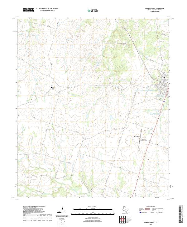
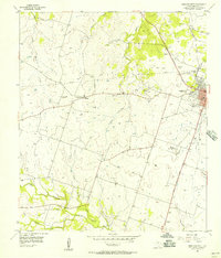 1956 Hamilton West1957 Print · USGSHamilton was transitioning from rail to road dominance during the mid-fifties as rural life centered around small communities like Midway. Genealogists and historians can trace family roots at the Center Valley Cemetery or explore local landmarks like the Lund Valley Ch and the Old Railroad Grade.
 - 1956 Map of Hamilton East, 1957 Print
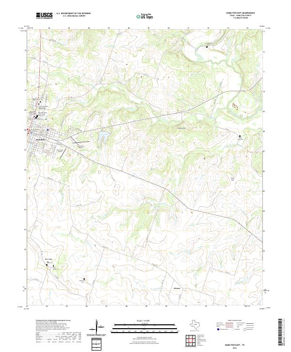
 1956 Hamilton East1957 Print · USGSHamilton is shown at a mid-century peak of local industry and rural community life in the 1950s. Genealogists and researchers can locate the Rock House Sch, trace the Old Railroad Grade, and find family plots in Kirkendall Cem.
 - 1985 Map of Comanche
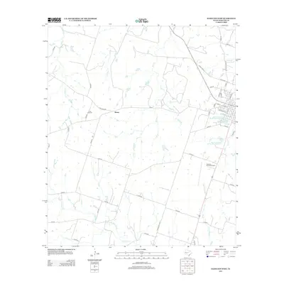
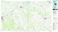 1985 Comanche1985 Print · USGSCentral Texas in the mid-eighties shows a landscape of established ranching towns and expanding reservoirs. Trace the family-named gaps and summits from Mercers Gap to Hog Mountains, alongside smaller settlements like Gentrys Mill and Hazeldell.2 unique versions available
 - 2010 Map of Hamilton East, 2010 Print
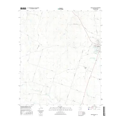
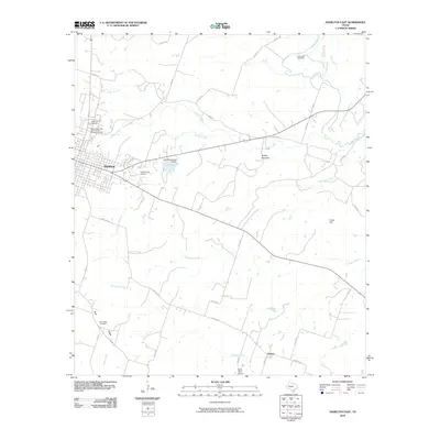 2010 Hamilton East2010 Print · USGSCovers Hamilton, including Aleman, Hamilton County, and other nearby areas
 - 2010 Map of Hamilton West, 2010 Print
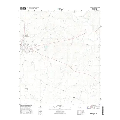
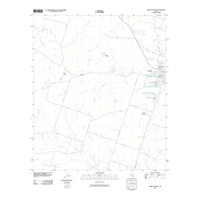 2010 Hamilton West2010 Print · USGSCovers Hamilton, including Midway, Hamilton County, and other nearby areas
 - 2012 Map of Hamilton West, 2012 Print
 2012 Hamilton West2012 Print · USGSCovers Hamilton, including Midway, Hamilton County, and other nearby areas
 - 2012 Map of Hamilton East, 2012 Print
 2012 Hamilton East2012 Print · USGSCovers Hamilton, including Aleman, Hamilton County, and other nearby areas
 - 2016 Map of Hamilton West, 2016 Print
 2016 Hamilton West2016 Print · USGSCovers Hamilton, including Midway, Hamilton County, and other nearby areas
 - 2016 Map of Hamilton East, 2016 Print
 2016 Hamilton East2016 Print · USGSCovers Hamilton, including Aleman, Hamilton County, and other nearby areas
 - 2019 Map of Hamilton East, 2019 Print
 2019 Hamilton East2019 Print · USGSCovers Hamilton, including Aleman, Hamilton County, and other nearby areas
 - 2019 Map of Hamilton West, 2019 Print
 2019 Hamilton West2019 Print · USGSCovers Hamilton, including Midway, Hamilton County, and other nearby areas
 - 2022 Map of Hamilton West, 2022 Print
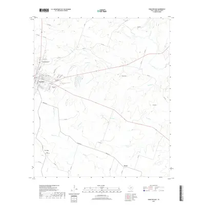
 2022 Hamilton West2022 Print · USGSHamilton and its rural surroundings are captured in this modern survey of the Central Texas ranching country. Researchers can trace land use through features like Center Valley Cem, the Hamilton Municipal Airport, and the headwaters of Cowhouse Cr.
 - 2022 Map of Hamilton East, 2022 Print
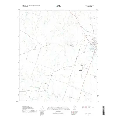
 2022 Hamilton East2022 Print · USGSHamilton and its surrounding Texas ranch lands are captured here in the early twenty-first century. Researchers can trace numerous family burial sites such as Rock House Cem, Whittenton Cem, and the complex of Odd Fellows cemeteries near Oakwood Cem.
End of results
Showing maps 1-17 of 17
Top cities near Hamilton
Frequently asked questions
- What are the different types of historical maps available for Hamilton?
- What is the oldest map of Hamilton?
- Where can I purchase historical maps of Hamilton for my home or office?
- Where can I download high-res historical maps of Hamilton?
- Are there historical topographic maps available for Hamilton?
- Is there historical aerial imagery available for Hamilton?
- Where are historical maps of Hamilton sourced from?