2000s (21st Century) Maps of Quanah, Texas
Explore 10 historic maps of Quanah from the 2000s (21st Century). These maps offer a rare glimpse into what life looked like during the 2000s — showing old roads, neighborhoods, homes, and landmarks that have changed or disappeared over time.
Whether you're researching your family's past, planning a metal detecting trip, or studying how Quanah's landscape evolved across the 2000s, these high-resolution maps are a powerful tool for exploring the history of this region.
- Focus on a specific era: All maps on this page are from the 2000s, giving you a focused view of this time period.
- See what’s changed: Compare century-old streets, trails, and buildings to today's modern landscape using overlays and satellite layers.
- Research with precision: Use these maps for genealogy, historical research, land use analysis, or educational projects.
- View, download, or print: Maps are fully viewable online in high resolution, and can be downloaded or printed for your own records.
Start exploring Quanah's history through authentic maps from the 2000s. This is your window into the past.
Quanah, TX maps
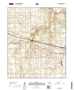
(10)- 2010 Map of Quanah West, 2010 Print
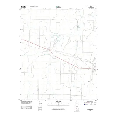 2010 Quanah West2010 Print · USGSCovers Quanah, including Talbert Crossing, Middleburg, and other nearby areas
 - 2010 Map of Quanah East, 2010 Print
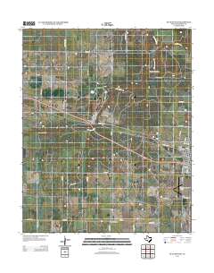
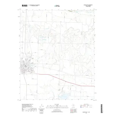
 2010 Quanah East2010 Print · USGSCovers Quanah, including Willowview, Jackson County, and other nearby areas
 - 2012 Map of Quanah East, 2012 Print
 2012 Quanah East2012 Print · USGSCovers Quanah, including Willowview, Jackson County, and other nearby areas
 - 2012 Map of Quanah West, 2012 Print
 2012 Quanah West2012 Print · USGSCovers Quanah, including Talbert Crossing, Middleburg, and other nearby areas
 - 2016 Map of Quanah West, 2016 Print
 2016 Quanah West2016 Print · USGSCovers Quanah, including Talbert Crossing, Middleburg, and other nearby areas
 - 2016 Map of Quanah East, 2016 Print
 2016 Quanah East2016 Print · USGSCovers Quanah, including Willowview, Jackson County, and other nearby areas
 - 2019 Map of Quanah West, 2019 Print
 2019 Quanah West2019 Print · USGSCovers Quanah, including Talbert Crossing, Middleburg, and other nearby areas
 - 2019 Map of Quanah East, 2019 Print
 2019 Quanah East2019 Print · USGSCovers Quanah, including Willowview, Jackson County, and other nearby areas
 - 2022 Map of Quanah West, 2022 Print
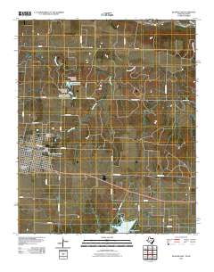
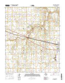
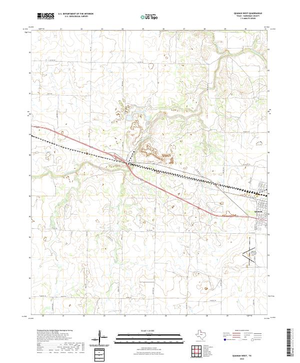 2022 Quanah West2022 Print · USGSHardeman County's ranching and agricultural heartland is captured here in the early twenty-first century as it spreads west from the town of Quanah. Trace the drainage of Groesbeck Cr and locate local landmarks like Quanah Municipal Airport and Georgia Pacific Rd.
 - 2022 Map of Quanah East, 2022 Print
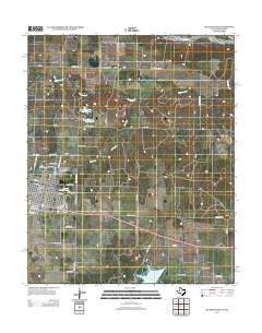
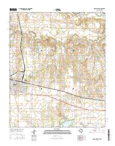
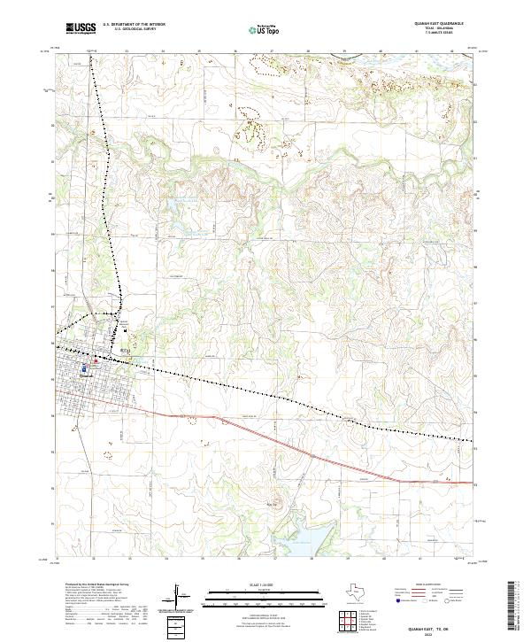 2022 Quanah East2022 Print · USGSHardeman County, Texas, is captured here in the early 2020s, showing the intersection of local government and water management. Genealogists and historians can trace the town streets of Quanah to the Hardeman County Courthouse or locate family landmarks near Lake Pauline and Flat Top.
End of results
Showing maps 1-10 of 10
Top cities near Quanah
Frequently asked questions
- What are the different types of historical maps available for Quanah?
- What is the oldest map of Quanah?
- Where can I purchase historical maps of Quanah for my home or office?
- Where can I download high-res historical maps of Quanah?
- Are there historical topographic maps available for Quanah?
- Is there historical aerial imagery available for Quanah?
- Where are historical maps of Quanah sourced from?