Old Maps of Dies, Texas for Metal Detecting
Plan your next treasure hunt with 11 historic maps of Dies. Find old homesites, ghost towns, trails, and gathering spots that may be lost to time — perfect for identifying promising metal detecting locations.
- Locate forgotten sites: Uncover places like long-lost settlements, abandoned rail lines, or gathering spots.
- Plan better hunts: Use map overlays combined with LiDAR or satellite views to narrow in on historically rich areas.
- Made for detectorists: Thousands of hobbyists use these maps to discover relics, coins, and hidden history.
Use these historic maps to boost your research and find new opportunities beneath the surface of Dies.
Dies, TX maps
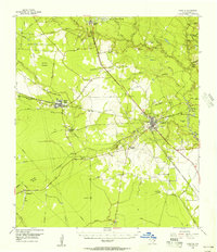
(11)- 1954 Map of Beaumont, 1964 Print
 1954 Beaumont1964 Print · USGSSoutheast Texas in the mid-fifties reveals a landscape of massive national forests, emerging reservoirs, and a booming oil economy. Genealogists and researchers can trace rural settlements like Dallardsville and Village Mills or locate early drilling sites at Sour Lake Oil Field.3 unique versions available
 - 1955 Map of Kountze, 1956 Print
 1955 Kountze1956 Print · USGSIn the mid-1950s, the Hardin County lumber and oil landscape centered on Kountze was a network of rail-side settlements and active fields. Researchers can trace the Kirby Lumber Tram or locate family roots near Honey Island, Old Hardin, and Providence Ch.4 unique versions available
 - 1957 Map of Beaumont
 1957 Beaumont1957 Print · USGSSoutheast Texas in the mid-fifties is defined by the timber-rich lands between the Trinity River and Beaumont. Trace the history of the Alabama and Coushatti Indian Reservation or locate early campus sites like Prairie View College.
 - 1984 Map of Beaumont
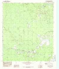
 1984 Beaumont1984 Print · USGSSoutheast Texas in the late seventies and early eighties shows a landscape of expanding reservoirs and deep timber industry. Researchers can trace the development of the Sam Houston National Forest or locate regional landmarks like Grabbs Prairie and the Wynne State Prison Farm.3 unique versions available
 - 1984 Map of Village Mills, 1985 Print
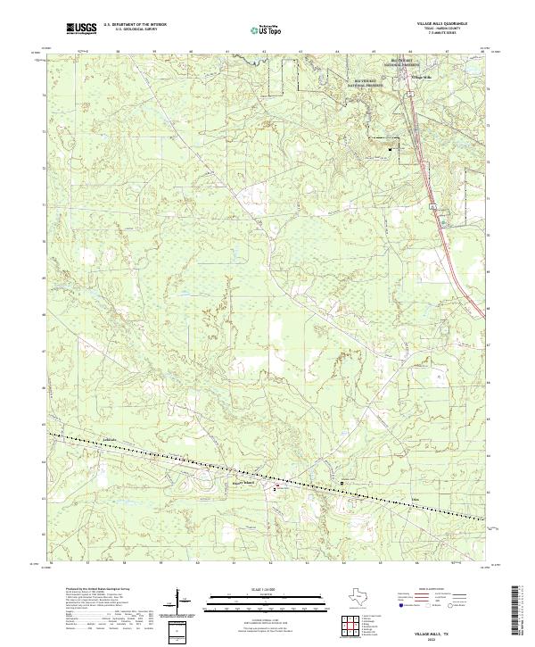
 1984 Village Mills1985 Print · USGSHardin County during the mid-eighties shows a landscape shaped by timber interests and the Atchison Topeka and Santa Fe railroad. Historians can trace small rail-side settlements like Honey Island and Lelavale alongside the many branches of Village Creek.
 - 1986 Map of Beaumont
 1986 Beaumont1986 Print · USGSThe East Texas piney woods and coastal prairies are captured here in the mid-eighties, a period of established energy production and conservation. Researchers can trace the industrial footprint of the Oil and Gas Field near Daisetta and Batson, or locate family sites at Graveyard Hill Cem.
 - 2010 Map of Village Mills, 2010 Print
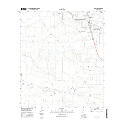
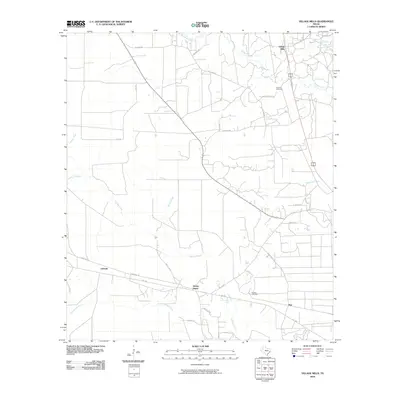 2010 Village Mills2010 Print · USGSCovers Dies, including Village Mills, Honey Island, and other nearby areas
 - 2013 Map of Village Mills, 2013 Print
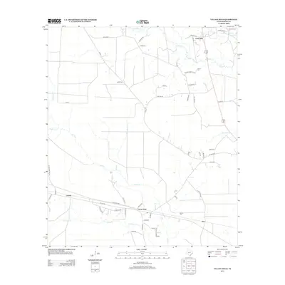 2013 Village Mills2013 Print · USGSCovers Dies, including Village Mills, Honey Island, and other nearby areas
 - 2016 Map of Village Mills, 2016 Print
 2016 Village Mills2016 Print · USGSCovers Dies, including Village Mills, Honey Island, and other nearby areas
 - 2019 Map of Village Mills, 2019 Print
 2019 Village Mills2019 Print · USGSCovers Dies, including Village Mills, Honey Island, and other nearby areas
 - 2022 Map of Village Mills, 2022 Print
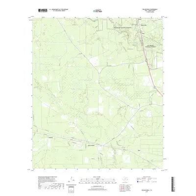
 2022 Village Mills2022 Print · USGSHardin County's timberlands and bayous are documented here in the early twenty-first century, showing the rural settlements within the Big Thicket National Preserve. Genealogists can locate Jordan Cem and trace old routes through Honey Island and Village Mills.
End of results
Showing maps 1-11 of 11
Top cities near Dies
- Beaumont historical maps
- Lumberton historical maps
- Silsbee historical maps
- Kountze historical maps
- Bevil Oaks historical maps
- Rose Hill Acres historical maps
Frequently asked questions
- What are the different types of historical maps available for Dies?
- What is the oldest map of Dies?
- Where can I purchase historical maps of Dies for my home or office?
- Where can I download high-res historical maps of Dies?
- Are there historical topographic maps available for Dies?
- Is there historical aerial imagery available for Dies?
- Where are historical maps of Dies sourced from?