Old Maps of Aldine, Texas for Genealogy
Trace your family roots with 39 historic maps of Aldine. These high-res maps reveal old neighborhoods, homesites, landmarks, and streets — helping you uncover where your ancestors lived and how the area evolved over time.
- Explore historic neighborhoods: Identify where your relatives may have lived in the 1800s or 1900s.
- Compare maps over time: Trace the changes in streets, buildings, and landmarks for multi-generational research.
- Perfect for genealogy & ancestry research: Used by family historians and researchers to map out lineage and migration.
These maps are an incredible resource for exploring your personal connection to Aldine's past.
Aldine, TX maps
(39)- 1916 Map of Aldine
 1916 Aldine1916 Print · USGSCoastal prairie life in Harris County comes into focus as the railway network expanded north of Houston. Genealogists and researchers can trace the early footprint of Aldine and find the location of the Hargrove School near Greens Bayou.2 unique versions available
 - 1916 Map of Settegast
 1916 Settegast1916 Print · USGSNortheast Houston was a burgeoning rail and industrial corridor during the mid-1910s, prior to its full integration into the modern metropolis. Genealogists and historians can trace early neighborhood plats like Brooks Smith Addition and Fidelity Addition alongside the massive Tank Farm and local schoolhouses.2 unique versions available
 - 1916 Map of Humble
 1916 Humble1916 Print · USGSHarris County is captured here in the early twentieth century as small rail-side settlements began to dot the coastal prairie. Local historians can trace the foundations of Humble and Mt Houston or locate the rural Higgs School and a small Cem near the winding Greens Bayou.2 unique versions available
 - 1919 Map of Aldine
 1919 Aldine1919 Print · USGSCoastal prairie and early rail infrastructure define this Harris County landscape during the late nineteen-teens. Researchers can trace ancestral property near Aldine, locate the rural Hargrove School, and follow the original routes of Kuyendahl Road.3 unique versions available
 - 1919 Map of Humble
 1919 Humble1919 Print · USGSHarris County at the height of the early oil era is defined by the convergence of major rail lines and bayou-side settlements. Genealogists and industrial historians can trace the early footprints of Humble, the location of Higgs School, and the dense rail network of the International and Great Northern.3 unique versions available
 - 1922 Map of Settegast
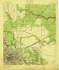 1922 Settegast1922 Print · USGSHouston and its surrounding Harris County townships are captured here during a period of intense industrial growth and residential expansion. Researchers can trace the early footprints of the Brooke-Smith Addition and Settegast, or locate rural landmarks like Berry School and the Tank Farm.2 unique versions available
 - 1946 Map of Settegast
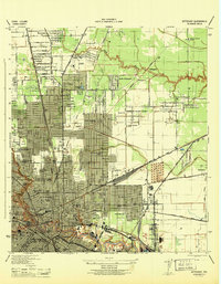 1946 Settegast1946 Print · USGSNortheast Houston and the industrial ship channel areas are captured here at the height of the mid-forties boom. Researchers can trace ancestral locations and civic growth through sites like Kashmere Gardens School, Evergreen Cem, and the neighborhoods bordering Halls Bayou.
 - 1946 Map of Humble
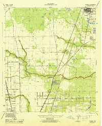 1946 Humble1946 Print · USGSNorthern Harris County comes alive in this post-war survey, showing the growth of the railroad corridor between Humble and Mt Houston. Researchers can trace old family landmarks like Koinm Cem, the Marrs Sch, and early settlements like Bordersville.
 - 1950 Map of Houston, 1953 Print
 1950 Houston1953 Print · USGSCoastal Texas in the early fifties reveals a landscape of massive civil engineering and industrial transit. Genealogists and researchers can trace the growth of the Houston suburbs and the maritime infrastructure of Galveston Bay, including the Gulf Freeway and the Texas City Dike.
 - 1954 Map of Humble, 1956 Print
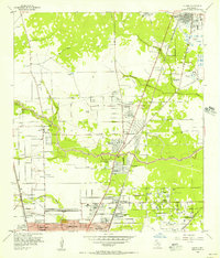 1954 Humble1956 Print · USGSNortheast of Houston during the mid-fifties, this area shows the transition from oil fields to burgeoning suburbs. Genealogists and historians can locate family-named landmarks and institutions like Rosewood Park Cemetery, Bordersville, and the Aldine Sch.
 - 1954 Map of Aldine, 1956 Print
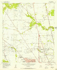 1954 Aldine1956 Print · USGSNorth of Houston in the mid-fifties, this area shows a landscape of bayous and oil wells transitioning toward suburban life. Researchers can locate early landmarks like Gulf Coast Airport, St Peters Ch, and schools such as Inez Carroll Grade Sch.
 - 1955 Map of Settegast, 1957 Print
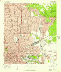 1955 Settegast1957 Print · USGSNortheast Houston transitioned from residential pockets to a massive rail and industrial corridor during the mid-fifties. Genealogists and historians can locate dozens of neighborhood landmarks, including Settegast Yards, Settegast Sch, and Hollywood Cemetery.
 - 1956 Map of Houston, 1963 Print
 1956 Houston1963 Print · USGSSoutheast Texas in the mid-fifties is captured here as a powerhouse of oil and maritime trade. Genealogists and historians can trace the foundations of Houston and its ports, alongside landmarks like the Rice Institute and the Spindletop Oil Field.2 unique versions available
 - 1967 Map of Humble
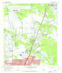 1967 Humble1967 Print · USGSNorthern Harris County is caught in a moment of rapid suburban and industrial expansion in the late sixties. Researchers can trace family sites at Rosewood Park Cem or locate the early footprints of Houston Intercontinental Airport and Douglas MacArthur High Sch.2 unique versions available
 - 1967 Map of Aldine
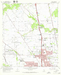 1967 Aldine1967 Print · USGSNorth Harris County was entering a period of rapid development in the 1960s, balancing its petroleum roots with new residential neighborhoods. Genealogists and local historians can trace family sites like Paradise Cem, the Veterans Administration Cemetery, and old schools including Caroll Sch.3 unique versions available
 - 1967 Map of Settegast, 1970 Print
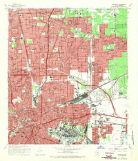 1967 Settegast1970 Print · USGSNortheast Houston's rail-and-bayou landscape is captured here during a period of significant mid-century growth. Researchers can trace historic neighborhood boundaries in Settegast and Sherwood Place or locate family sites at Oak Park Cem and Hollywood Cemetery.2 unique versions available
 - 1975 Map of Houston, 1977 Print
 1975 Houston1977 Print · USGSThe Texas Gulf Coast in the mid-seventies shows a sprawling Houston metropolis linked to the sea by the massive Houston Ship Channel. Researchers can trace the mid-century industrial landscape from the Astrodome to the Lyndon B. Johnson Space Center.2 unique versions available
 - 1982 Map of Humble
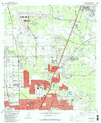 1982 Humble1982 Print · USGSNorth of Houston in the early eighties, the landscape is defined by the growth of modern aviation and expanding suburbs. Researchers can trace family roots through numerous sites like Brookside Memorial Park (Cem), Bordersville, and Mac Arthur High Sch.
 - 1982 Map of Settegast, 1983 Print
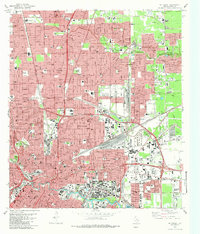 1982 Settegast1983 Print · USGSHouston and its industrial rail corridors are captured in the early eighties as neighborhoods expanded around the massive Settegast Yards. Trace local family history through dozens of landmarks like Oak Park Cemetery and St Elizabeth Hospital.2 unique versions available
 - 1982 Map of Aldine, 1983 Print
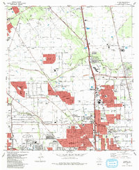 1982 Aldine1983 Print · USGSNorthern Harris County during the early eighties showcases a landscape transitioning from the Bammel Oil and Gas Field to dense suburban growth. Genealogists can locate the Houston National Cemetery and Paradise Cemetery near the expanding Aldine community.2 unique versions available
 - 1992 Map of Houston
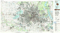 1992 Houston1992 Print · USGSThe Houston metropolitan area reached its modern sprawl in the early nineties, centered on the Buffalo Bayou and a massive regional rail network. Genealogists and historians can trace the development of satellite cities like Sugar Land and Pasadena, or locate legacy sites like the Humble Oil Field and the NASA Lyndon B Johnson Space Center.
 - 1995 Map of Humble, 1999 Print
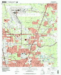 1995 Humble1999 Print · USGSNorthern Houston and the city of Humble are shown during a period of rapid suburban and industrial expansion in the mid-nineties. Researchers can locate numerous local landmarks including Thorne Stadium, Aldine Cem, and the sprawling George Bush Intercontinental Airport.
 - 1995 Map of Settegast, 1999 Print
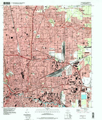 1995 Settegast1999 Print · USGSEastern Houston and the Settegast region are captured in the mid-nineties, showing a landscape defined by heavy rail and bayou corridors. Researchers can trace historical footprints at Hollywood Cemetery or explore the massive layout of the Settegast Yards and the busy Turning Basin.
 - 1995 Map of Aldine, 1999 Print
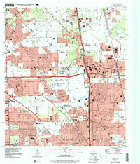 1995 Aldine1999 Print · USGSAldine and the surrounding Harris County suburbs are shown in the mid-1990s, where energy production and residential growth converge. Researchers can trace family history at Houston National Cemetery or locate local landmarks like the Greenspoint Mall and Aldine High Sch.
 - 2010 Map of Settegast, 2010 Print
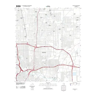 2010 Settegast2010 Print · USGSHouston’s northeast side reveals a landscape of industrial power and evolving neighborhoods just after the turn of the millennium. Genealogists and historians can trace significant sites like Holy Cross Cemetery and the sprawling rail networks of Englewood Yards and Settegast Yards.
Showing maps 1-25 of 39
Frequently asked questions
- What are the different types of historical maps available for Aldine?
- What is the oldest map of Aldine?
- Where can I purchase historical maps of Aldine for my home or office?
- Where can I download high-res historical maps of Aldine?
- Are there historical topographic maps available for Aldine?
- Is there historical aerial imagery available for Aldine?
- Where are historical maps of Aldine sourced from?