Old Maps of Country Club Oaks, Baytown for Genealogy
Trace your family roots with 28 historic maps of Country Club Oaks. These high-res maps reveal old neighborhoods, homesites, landmarks, and streets — helping you uncover where your ancestors lived and how the area evolved over time.
- Explore historic neighborhoods: Identify where your relatives may have lived in the 1800s or 1900s.
- Compare maps over time: Trace the changes in streets, buildings, and landmarks for multi-generational research.
- Perfect for genealogy & ancestry research: Used by family historians and researchers to map out lineage and migration.
These maps are an incredible resource for exploring your personal connection to Country Club Oaks's past.
Country Club Oaks, Baytown maps
(28)- 1916 Map of Burnett Bay
 1916 Burnett Bay1916 Print · USGSCoastal Harris County is captured in the early twentieth century as the regional landscape began to modernize around the San Jacinto River. Researchers can trace the early layout of Lynchburg and Elena, locate rural landmarks like the Clawson School, and explore the grounds of the San Jacinto Battlefield.
 - 1916 Map of Cedar Bayou
 1916 Cedar Bayou1916 Print · USGSThe coastal plains of Harris and Chambers counties are captured here just before the era of major regional change. Trace the early school at Ellis League School, find ferry crossings at Milam Bend, and follow the Barbers Hill Road through the bayou country.
 - 1919 Map of Cedar Bayou
 1919 Cedar Bayou1919 Print · USGSHarris County at the end of the Great War shows a transition from rural river life to an emerging road network. Genealogists and researchers can trace local landmarks like the Ellis League School and historical crossings such as Williams Ferry and Cedar Bayou.2 unique versions available
 - 1920 Map of Highlands
 1920 Highlands1920 Print · USGSHarris County at the dawn of the oil age reveals a landscape of tidal bayous and historic river crossings. Genealogists can locate family landmarks like Tory Hill, early education sites like Lynchburg School, and the hallowed grounds of the San Jacinto Battlefield.4 unique versions available
 - 1943 Map of Cedar Bayou, 1960 Print
 1943 Cedar Bayou1960 Print · USGSThe Gulf Coast oil and agriculture landscape comes alive in the 1940s as industry takes root near Mont Belvieu. Genealogists and historians can trace old family sites like Fisher Cem, Shiloh Ch, and the original Cedar Bayou Sch.
 - 1944 Map of Burnett Bay
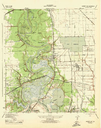 1944 Burnett Bay1944 Print · USGSCoastal Harris County during the mid-forties reveals a landscape of industrial expansion and historic river crossings. Genealogists and historians can trace family landmarks like the McGhee School and White Cem alongside the growing settlements of Highlands and Lynchburg.
 - 1950 Map of Houston, 1953 Print
 1950 Houston1953 Print · USGSCoastal Texas in the early fifties reveals a landscape of massive civil engineering and industrial transit. Genealogists and researchers can trace the growth of the Houston suburbs and the maritime infrastructure of Galveston Bay, including the Gulf Freeway and the Texas City Dike.
 - 1955 Map of Highlands, 1956 Print
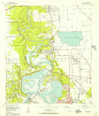 1955 Highlands1956 Print · USGSCoastal Harris County is seen here in the mid-fifties, dominated by industrial military sites and Texas revolutionary landmarks. Trace family roots at De Zavala Cem or locate the Battleship Texas and Lynchburg Ferry Landing near the river.
 - 1956 Map of Houston, 1963 Print
 1956 Houston1963 Print · USGSSoutheast Texas in the mid-fifties is captured here as a powerhouse of oil and maritime trade. Genealogists and historians can trace the foundations of Houston and its ports, alongside landmarks like the Rice Institute and the Spindletop Oil Field.2 unique versions available
 - 1961 Map of Mont Belvieu, 1964 Print
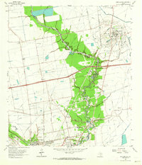 1961 Mont Belvieu1964 Print · USGSCoastal Texas industry and settlement meet along the Harris-Chambers county line in the early sixties. Researchers can trace family history at Barbers Cem and Morgan Cem or explore the infrastructure of the Barbers Hill Oil Field.2 unique versions available
 - 1967 Map of Highlands, 1969 Print
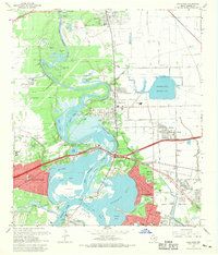 1967 Highlands1969 Print · USGSIn the late sixties, the confluence of the San Jacinto River and Buffalo Bayou served as both a heavy industrial hub and a site of state memory. Genealogists can trace family footprints in Lynchburg or McNair, while finding landmarks like the Battleship Texas and the Gospel Herald Ch.
 - 1975 Map of Houston, 1977 Print
 1975 Houston1977 Print · USGSThe Texas Gulf Coast in the mid-seventies shows a sprawling Houston metropolis linked to the sea by the massive Houston Ship Channel. Researchers can trace the mid-century industrial landscape from the Astrodome to the Lyndon B. Johnson Space Center.2 unique versions available
 - 1982 Map of Mont Belvieu
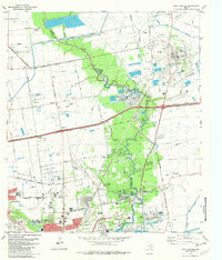 1982 Mont Belvieu1982 Print · USGSThe industrial and residential growth of the Texas Gulf Coast is captured here in the early eighties. Genealogists and historians can trace family sites like Busch Cem and Fisher Cem or locate the sprawling Oil and Gas Field and refinery works.
 - 1982 Map of Highlands, 1983 Print
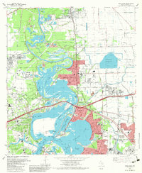 1982 Highlands1983 Print · USGSThe industrial and historical heart of the Texas coast comes into focus in the early eighties at the confluence of the San Jacinto River and Buffalo Bayou. Trace local heritage at the San Jacinto Monument, the De Zavala Cem, or the old streets of Lynchburg.2 unique versions available
 - 1983 Map of Anahuac
 1983 Anahuac1983 Print · USGSThe Upper Texas Coast and its energy-driven landscape are detailed here in the early eighties. Genealogists and historians can trace coastal settlements like Anahuac and Winnie alongside the storied Spindletop Oil Field and the Anahuac National Wildlife Refuge.2 unique versions available
 - 1992 Map of Houston
 1992 Houston1992 Print · USGSThe Houston metropolitan area reached its modern sprawl in the early nineties, centered on the Buffalo Bayou and a massive regional rail network. Genealogists and historians can trace the development of satellite cities like Sugar Land and Pasadena, or locate legacy sites like the Humble Oil Field and the NASA Lyndon B Johnson Space Center.
 - 1994 Map of Mont Belvieu
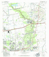 1994 Mont Belvieu1994 Print · USGSThe industrial and suburban landscape of Chambers and Harris Counties comes into focus during the early 1990s as oil production and urban growth intersect. Researchers can trace the layout of Mont Belvieu and Baytown, finding specific landmarks like the Jergins Oil Field, Busch Cem, and Stallworth Stadium.
 - 1995 Map of Highlands, 1998 Print
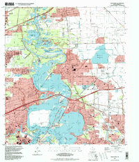 1995 Highlands1998 Print · USGSThe industrial and historical heart of the Texas Gulf Coast comes into focus in the mid-nineties as the suburbs of Houston expand. Researchers can locate family landmarks like San Jacinto Cem, the iconic San Jacinto Monument, and schools such as Harlem Sch.
 - 2010 Map of Mont Belvieu, 2010 Print
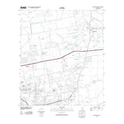 2010 Mont Belvieu2010 Print · USGSMont Belvieu and the Harris County bayou country are shown here in a period of significant industrial and suburban transition. Genealogists and historians can trace family roots through Williams and Morgan Cemetery, or locate the sprawling Barbers Hill Oil Field and San Jacinto Mall.
 - 2010 Map of Highlands, 2010 Print
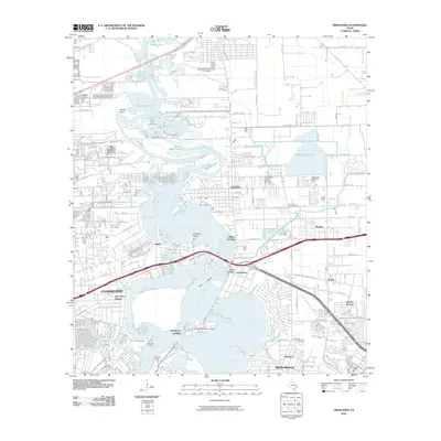 2010 Highlands2010 Print · USGSCoastal Harris County is shown at a time of significant suburban and industrial density between the bays and the bayous. Researchers can trace local heritage at DeZavalla Cemetery and explore old riverfront points like Lynchburg Landing and Gilbert Landing.
 - 2013 Map of Mont Belvieu, 2013 Print
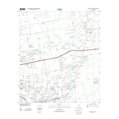 2013 Mont Belvieu2013 Print · USGSMont Belvieu and the northern reaches of Baytown are shown here at a peak of industrial and suburban development. Genealogists and historians can trace numerous burial sites like Williams Cem or Busch Cem, while mapping the footprint of the Barbers Hill Oil Field.
 - 2013 Map of Highlands, 2013 Print
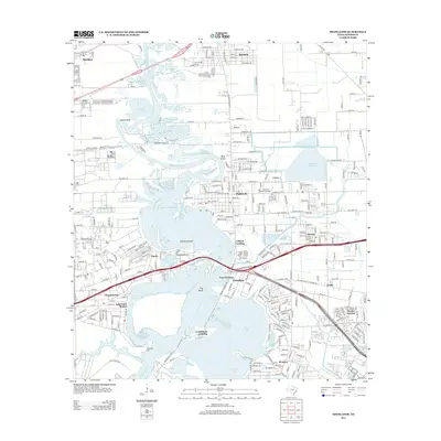 2013 Highlands2013 Print · USGSThe industrial and coastal corridor near the San Jacinto River comes into focus in this early 21st-century survey. Trace the roots of local communities like Highlands and Lynchburg, or find landmarks like DeZavalla Cem and Lynchburg Landing.
 - 2016 Map of Mont Belvieu, 2016 Print
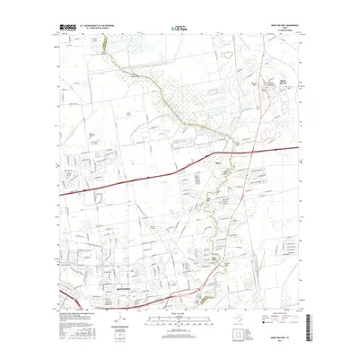 2016 Mont Belvieu2016 Print · USGSTexas coastal industry and residential growth intersect along the Harris and Chambers county line in the mid-2010s. Genealogists can locate several local burial sites including Williams Cem and Fisher Cem near the prominent landmark of Barbers Hill.
 - 2016 Map of Highlands, 2016 Print
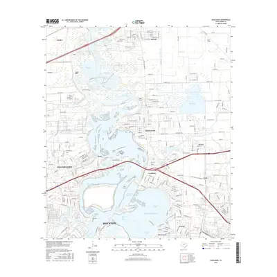 2016 Highlands2016 Print · USGSThe industrial heart of Harris County meets the Gulf coast in this modern survey of the San Jacinto River and its surrounding communities. Trace historical sites like Lynchburg and the DeZavalla Cem alongside the heavy infrastructure of the Houston Ship Channel.
 - 2019 Map of Mont Belvieu, 2019 Print
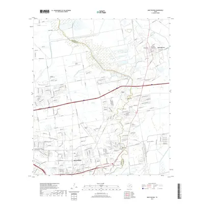 2019 Mont Belvieu2019 Print · USGSThe borderlands of Harris and Chambers counties are captured here as modern suburbs meet the coastal prairie. Family historians can locate numerous burial sites like Lawrence Cem and Morgan Cem or trace the winding course of Cedar Bayou.
Showing maps 1-25 of 28
Frequently asked questions
- What are the different types of historical maps available for Country Club Oaks?
- What is the oldest map of Country Club Oaks?
- Where can I purchase historical maps of Country Club Oaks for my home or office?
- Where can I download high-res historical maps of Country Club Oaks?
- Are there historical topographic maps available for Country Club Oaks?
- Is there historical aerial imagery available for Country Club Oaks?
- Where are historical maps of Country Club Oaks sourced from?