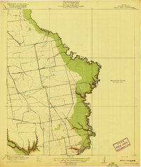
1919 Map of Cedar Bayou
USGS Topo · Published 1919About this map
Cedar Bayou meanders along the boundary of Harris and Chambers counties, defining a landscape of low-lying coastal plains and intricate watercourses just before the region's mid-century industrial transformation. The settlement at Cedar Bayou serves as the focal point, connected to the interior by a network of early thoroughfares including the Houston and Wallisville Road and Barbers Hill Road.
Find a feature on this map
23 named features on this map. Tap any name to fly to it.
Don’t see what you’re looking for? This feature index may not catch every label — zoom into the map to look around manually.
Map Details
Editions of this 1919 Cedar Bayou Map
2 editions found
Other maps of this area
1916 · Burnett Bay
USGS Topo · 1:24,000
1916 · Crosby
USGS Topo · 1:24,000
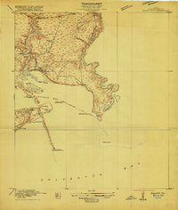
1916 · Morgan Point
USGS Topo · 1:24,000
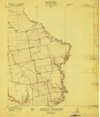
1916 · Cedar Bayou
USGS Topo · 1:24,000
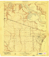
1916 · La Porte
USGS Topo · 1:24,000
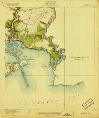
1919 · Morgan Point
USGS Topo · 1:31,680
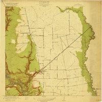
1919 · Crosby
USGS Topo · 1:31,680
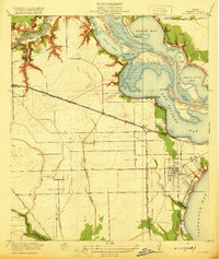
1920 · La Porte
USGS Topo · 1:31,680
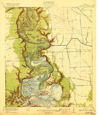
1920 · Highlands
USGS Topo · 1:31,680
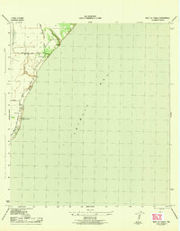
1943 · West of Eagle
USGS Topo · 1:31,680