2000s (21st Century) Maps of Houston, Texas
Explore 170 historic maps of Houston from the 2000s (21st Century). These maps offer a rare glimpse into what life looked like during the 2000s — showing old roads, neighborhoods, homes, and landmarks that have changed or disappeared over time.
Whether you're researching your family's past, planning a metal detecting trip, or studying how Houston's landscape evolved across the 2000s, these high-resolution maps are a powerful tool for exploring the history of this region.
- Focus on a specific era: All maps on this page are from the 2000s, giving you a focused view of this time period.
- See what’s changed: Compare century-old streets, trails, and buildings to today's modern landscape using overlays and satellite layers.
- Research with precision: Use these maps for genealogy, historical research, land use analysis, or educational projects.
- View, download, or print: Maps are fully viewable online in high resolution, and can be downloaded or printed for your own records.
Start exploring Houston's history through authentic maps from the 2000s. This is your window into the past.
Houston, TX maps
(170)- 2010 Map of Hockley, 2010 Print
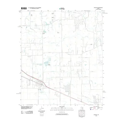 2010 Hockley2010 Print · USGSNorthwest of Houston during the early twenty-first century, this area shows a landscape defined by historic settlements and ranching roots. Genealogists and local historians can trace family ties at Macedonia Cemetery or explore the area near Hegar and Biggin Hill Airport.
- 2010 Map of Waller, 2010 Print
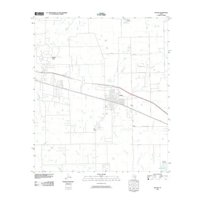 2010 Waller2010 Print · USGSIn the early 2000s, the plains around Waller and Prairie View show a landscape of rural roads and prairie creeks. Genealogists can locate family sites near Waller Cemetery, Mathis Cemetery, and the waters of Mound Creek.
- 2010 Map of Tomball, 2010 Print
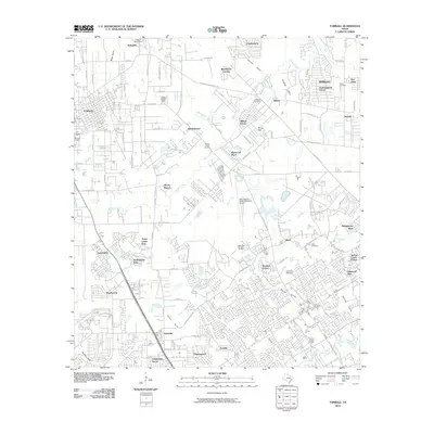 2010 Tomball2010 Print · USGSGreater Tomball and Klein are shown at a peak of suburban expansion in the early twenty-first century. Genealogists and local historians can trace old family sites and markers like the Hufsmith Post Office, Bonin Cemetery, and the Southeast Tomball Oil Field.
- 2010 Map of Rose Hill, 2010 Print
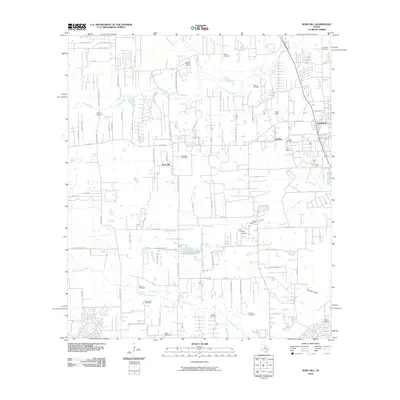 2010 Rose Hill2010 Print · USGSNorthwest Harris County is shown in a state of transition during the 2010s as traditional ranching and oil production meet suburban growth. Genealogists can locate several historic burial grounds like Saint John Cemetery and Rose Hill Cemetery alongside landmarks like May Airport.
- 2010 Map of Settegast, 2010 Print
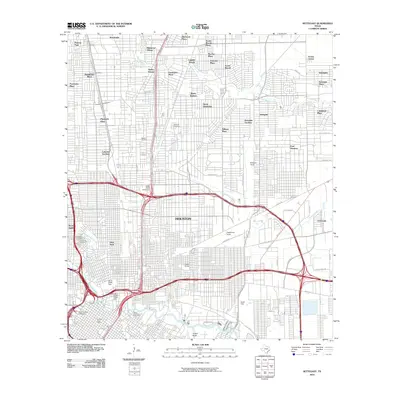 2010 Settegast2010 Print · USGSHouston’s northeast side reveals a landscape of industrial power and evolving neighborhoods just after the turn of the millennium. Genealogists and historians can trace significant sites like Holy Cross Cemetery and the sprawling rail networks of Englewood Yards and Settegast Yards.
- 2010 Map of Houston Heights, 2010 Print
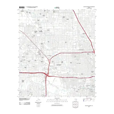 2010 Houston Heights2010 Print · USGSHouston neighborhoods and historic districts are mapped here in the early 21st century as urban growth meets deep-rooted history. Researchers can trace the boundaries of the Independence Heights Residential Historic District or locate family plots in Hollywood Cemetery and Woodlawn Cemetery.
- 2010 Map of Bellaire, 2010 Print
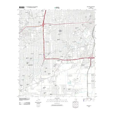 2010 Bellaire2010 Print · USGSHouston and its southwestern suburbs are shown in great detail during a period of significant urban density. Researchers can trace the layout of Rice University, identify the Meyers Speedway, and locate established neighborhoods like Meyerland and Southside Place.
- 2010 Map of Cypress, 2010 Print
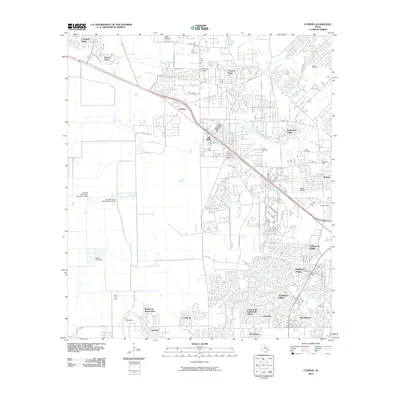 2010 Cypress2010 Print · USGSCypress and its expanding neighborhoods are captured here during a period of rapid suburban growth in Harris County. Researchers can locate established family sites like Roeder Cemetery and Knigge Cemetery or trace landmarks like Hot Wells and Dry Creek Airport.
- 2010 Map of Friendswood, 2010 Print
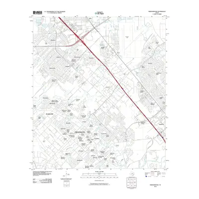 2010 Friendswood2010 Print · USGSSoutheast Texas at the start of the decade shows a suburban landscape woven into the coastal bayous and prairies. Researchers can trace the development around Ellington Field, the legacy of the Friendswood Oil Field, and the quiet grounds of Whitcomb Cemetery.
- 2010 Map of Harmaston, 2010 Print
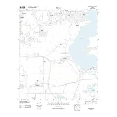 2010 Harmaston2010 Print · USGSThe Lake Houston area is captured here during a period of rapid suburban growth and continued industrial utility. Trace the development of residential communities like Summerwood alongside persistent landmarks like the Harrington Cemetery and the Riverside Oil Field.
- 2010 Map of Jacinto City, 2010 Print
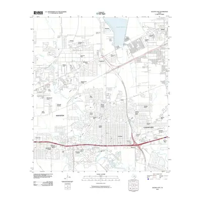 2010 Jacinto City2010 Print · USGSEast of Houston during the early twenty-first century, this region shows a landscape of suburban expansion defined by its bayous and reservoirs. Researchers can locate the Harris County Cemetery, trace the banks of Greens Bayou, and find the Sheldon Fish Hatchery.
- 2010 Map of Pasadena, 2010 Print
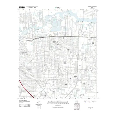 2010 Pasadena2010 Print · USGSSoutheast Texas near the bay is shown here during a period of significant suburban density and industrial activity. Genealogists and local historians can trace neighborhood growth in Golden Acres, Easthaven, and Parkview Manor or locate the Pasadena Post Office.
- 2010 Map of Missouri City, 2010 Print
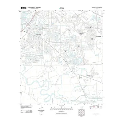 2010 Missouri City2010 Print · USGSMissouri City and Sugar Land were undergoing significant growth in the decade following the turn of the millennium. Researchers can trace family sites and local landmarks from Fifth Street and Dewalt to Trammels and the New Hope Cemetery.
- 2010 Map of Humble, 2010 Print
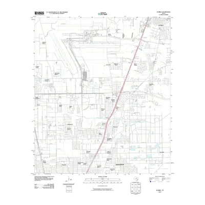 2010 Humble2010 Print · USGSThe northern edge of Houston and the community of Humble are captured here at a peak of modern expansion. Researchers can trace family history through Rosewood Park Cemetery or locate old neighborhood boundaries in Aldine City, Mount Houston, and Weldon Pines.
- 2010 Map of Hedwig Village, 2010 Print
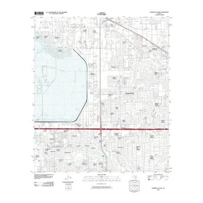 2010 Hedwig Village2010 Print · USGSHouston’s western expansion is on full display in this 2010 survey of the Memorial Villages and Addicks Reservoir area. Trace the suburban layout of Hedwig Village and Bunker Hill Village alongside the engineering of Addicks Dam and Buffalo Bayou.
- 2010 Map of Warren Lake, 2010 Print
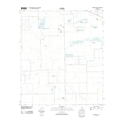 2010 Warren Lake2010 Print · USGSHarris County ranching and private aviation intersect in the early twenty-first century as this survey captures a landscape of managed reservoirs and small airfields. Researchers can trace landholdings like Warren Ranch and identify landmarks such as Wolf Hill, Mallard Lake, and the Harbican Airpark.
- 2010 Map of Highlands, 2010 Print
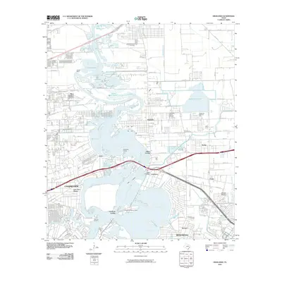 2010 Highlands2010 Print · USGSCoastal Harris County is shown at a time of significant suburban and industrial density between the bays and the bayous. Researchers can trace local heritage at DeZavalla Cemetery and explore old riverfront points like Lynchburg Landing and Gilbert Landing.
- 2010 Map of Alief, 2010 Print
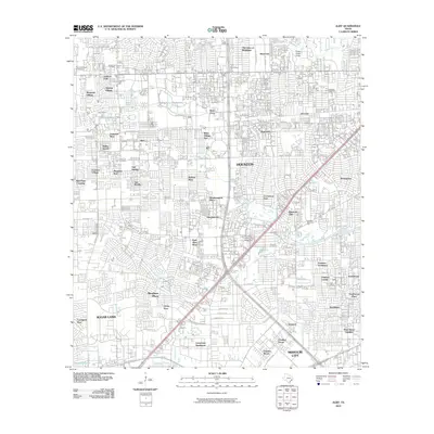 2010 Alief2010 Print · USGSSouthwest Houston and the Alief area appear in full suburban maturity during the early twenty-first century. Genealogists and local historians can trace burial records at Forest Park Cemetery and Riceville Cemetery or locate neighborhood origins in Sharpstown and Meadows Place.
- 2010 Map of Satsuma, 2010 Print
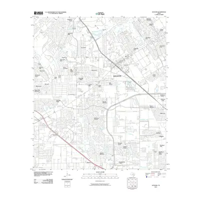 2010 Satsuma2010 Print · USGSSatsuma and Jersey Village appear in the early 2000s as a complex network of suburban developments and drainage bayous. Genealogists and local historians can locate Dowdell Cemetery, Perry Cemetery, and the Fairbanks Oil Field amidst the growing neighborhoods.
- 2010 Map of Almeda, 2010 Print
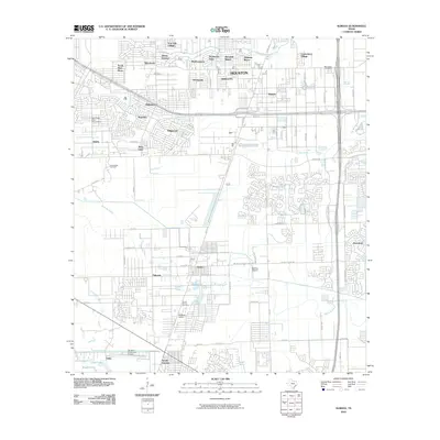 2010 Almeda2010 Print · USGSSouthern Houston and the neighboring Fresno area are documented here during a period of suburban expansion and industrial use. Researchers can locate specific sites like the Blue Ridge State Prison Farm, the Beth Jacob Cemetery, and the historic Arcola Junction.
- 2010 Map of Park Place, 2010 Print
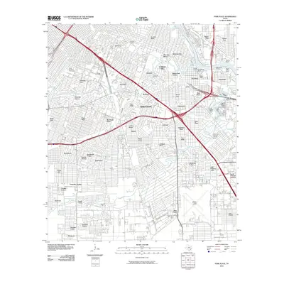 2010 Park Place2010 Print · USGSSoutheast Houston and the industrial ship channel corridor are shown here in the early twenty-first century. Researchers can trace historic neighborhood boundaries from Harrisburg to Park Place and locate family sites near Evergreen Cemetery or William P Hobby Airport.
- 2010 Map of Addicks, 2010 Print
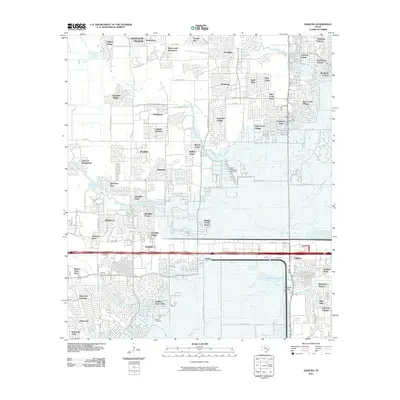 2010 Addicks2010 Print · USGSWest Houston was defined by rapid suburban expansion and massive flood-control projects at the turn of the millennium. Researchers can trace modern neighborhood development alongside the sprawling Barker Reservoir and find local landmarks like Baker Cemetery and West Houston Airport.
- 2010 Map of League City, 2010 Print
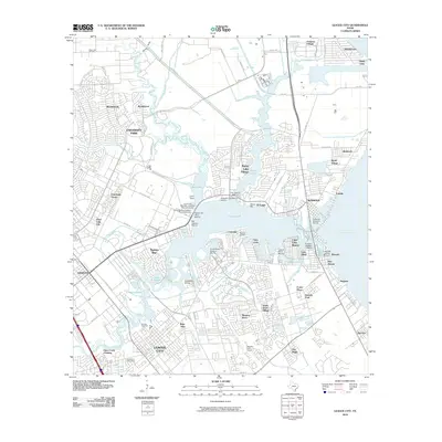 2010 League City2010 Print · USGSCoastal Harris and Galveston Counties are shown here during a period of significant maritime and residential growth. Genealogists and local historians can locate established landmarks like Fairview Cemetery, the Houston Gulf Airport, and the League City Post Office.
- 2010 Map of Spring, 2010 Print
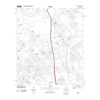 2010 Spring2010 Print · USGSNorthern Harris County is shown at a peak of suburban expansion during the early twenty-first century. Genealogists can locate several family cemeteries, including Spring Cemetery, while aviation enthusiasts can find the Goodyear Airship Operations Airport.
- 2010 Map of Huffman, 2010 Print
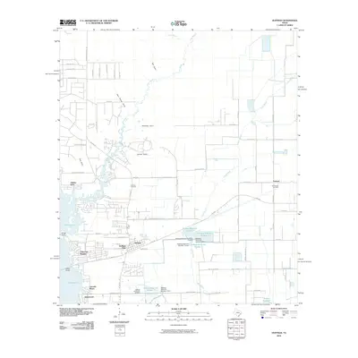 2010 Huffman2010 Print · USGSThe Huffman area and the eastern shores of Lake Houston are shown in detail during a period of significant suburban development. Researchers can trace family history through the Huffman and Saint Annes cemeteries or locate early neighborhood footprints like Lakewood Heights and Hidden Echo.
Showing maps 1-25 of 170
Top cities near Houston
- Sugar Land historical maps
- Missouri City historical maps
- Stafford historical maps
- Bellaire historical maps
- South Houston historical maps
- Aldine historical maps
See more
Top neighborhoods of Houston
- Almeda historical maps
- Fairbanks historical maps
- Lynchburg Landing historical maps
- Clear Lake City historical maps
- Bordersville historical maps
- Dunnam historical maps
See more
Frequently asked questions
- What are the different types of historical maps available for Houston?
- What is the oldest map of Houston?
- Where can I purchase historical maps of Houston for my home or office?
- Where can I download high-res historical maps of Houston?
- Are there historical topographic maps available for Houston?
- Is there historical aerial imagery available for Houston?
- Where are historical maps of Houston sourced from?