Old Maps of The Meadows, Texas for Academic Research
Study the evolution of The Meadows with 43 high-resolution historic maps. Whether you're teaching, researching, or modeling changes in land use, these maps provide essential visual documentation of urban, environmental, and geographic change.
- Analyze long-term change: Track patterns in development, transportation, and natural features.
- Ideal for environmental or urban studies: Support academic projects with primary historical map data.
- Use in the classroom or lab: Educators and researchers rely on these maps to bring historical context to life.
These maps are a powerful tool for teaching, research, and visualizing how The Meadows has changed over the decades.
The Meadows, TX maps
(43)- 1915 Map of Cypress
 1915 Cypress1915 Print · USGSCoastal prairie and creek-side settlements define this Harris County area during the early twentieth century. Researchers can trace historic landholdings like Bains Ranch or find early educational sites including Big Cypress School and Brink School.3 unique versions available
 - 1916 Map of Rose Hill
 1916 Rose Hill1916 Print · USGSHarris County farming communities thrived along the Montgomery County line during the mid-1910s, years before suburban sprawl reached the area. Genealogists can trace early homesteads near Rose Hill and find historic rural landmarks like Cypress Church and the Bowers School.
 - 1916 Map of Hockley
 1916 Hockley1916 Print · USGSUpper Harris County during the First World War shows a landscape defined by timber mills and early railroad junctions. Genealogists can locate family-named landmarks like Bauers Store and Hegar School, or trace the old Houston and Texas Central Road.
 - 1916 Map of Swanson, 1961 Print
 1916 Swanson1961 Print · USGSTexas ranching and rail history come together in this 1910s survey of western Harris County. Researchers can trace early family landholdings like Warren Ranch or locate the original path of the Southern Pacific System near Wolf Hill.
 - 1918 Map of Cypress
 1918 Cypress1918 Print · USGSCypress and its surrounding prairie are documented here in the early 1900s, showing a rural Harris County landscape of ranching and creek-side schools. Genealogists and historians can trace family locations near Houston Hot Wells, Rams Ranch, or the Big Cypress School.2 unique versions available
 - 1919 Map of Swanson
 1919 Swanson1919 Print · USGSHarris and Waller counties appear here at the end of the Great War, showing the transition from open ranch land to a rail-connected economy. Genealogists and researchers can trace family-named landmarks like Warren Ranch, Lake Peter Donley, and Freemans Dam.2 unique versions available
 - 1920 Map of Hockley
 1920 Hockley1920 Print · USGSHarris County at the edge of the prairie reveals a landscape of early rail and timber industry just after the First World War. Trace local roots at Hockley and the Hegar School or locate the old Bauers Sawmill near Spring Creek.3 unique versions available
 - 1920 Map of Rose Hill
 1920 Rose Hill1920 Print · USGSNorthwest Harris County appears as a burgeoning rural community in the years following the Great War. Genealogists and local historians can trace the foundations of the district through several early schoolhouses, including East Rose Hill School and Neidorff School, as well as Cypress Church.
 - 1950 Map of Houston, 1953 Print
 1950 Houston1953 Print · USGSCoastal Texas in the early fifties reveals a landscape of massive civil engineering and industrial transit. Genealogists and researchers can trace the growth of the Houston suburbs and the maritime infrastructure of Galveston Bay, including the Gulf Freeway and the Texas City Dike.
 - 1954 Map of Beaumont, 1964 Print
 1954 Beaumont1964 Print · USGSSoutheast Texas in the mid-fifties reveals a landscape of massive national forests, emerging reservoirs, and a booming oil economy. Genealogists and researchers can trace rural settlements like Dallardsville and Village Mills or locate early drilling sites at Sour Lake Oil Field.3 unique versions available
 - 1955 Map of Addicks, 1957 Print
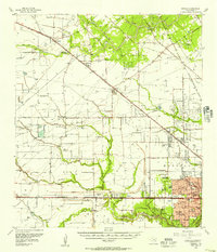 1955 Addicks1957 Print · USGSHarris County undergoes rapid transformation in the mid-fifties as Houston's city boundary pushes west. Trace family history and early industry through the Satsuma Oil Field, Addicks Dam, and Roeder Cem.
 - 1955 Map of Brookshire, 1957 Print
 1955 Brookshire1957 Print · USGSThe growing railroad towns of Waller and Harris Counties are shown in the mid-fifties as the local energy economy takes hold. Genealogists and historians can locate family landmarks like Curry Chapel, Magnolia Cem, and the old Salt Mine at Hockley Mound.
 - 1956 Map of Houston, 1963 Print
 1956 Houston1963 Print · USGSSoutheast Texas in the mid-fifties is captured here as a powerhouse of oil and maritime trade. Genealogists and historians can trace the foundations of Houston and its ports, alongside landmarks like the Rice Institute and the Spindletop Oil Field.2 unique versions available
 - 1957 Map of Beaumont
 1957 Beaumont1957 Print · USGSSoutheast Texas in the mid-fifties is defined by the timber-rich lands between the Trinity River and Beaumont. Trace the history of the Alabama and Coushatti Indian Reservation or locate early campus sites like Prairie View College.
 - 1962 Map of Hockley, 1964 Print
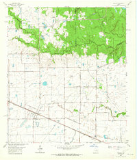 1962 Hockley1964 Print · USGSThis corner of the Texas Gulf Coast in the early sixties centers on Hockley, where the Southern Pacific tracks meet a network of family ranch roads. Genealogists can trace early area residents through the Roberts Cem, Macedonia Cem, and Hegar Cem.3 unique versions available
 - 1962 Map of Rose Hill, 1964 Print
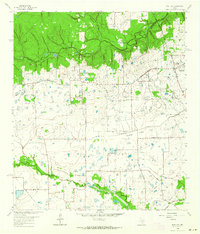 1962 Rose Hill1964 Print · USGSNorthern Harris County is captured in the early sixties as a ranching and energy-producing landscape. Genealogists can trace family names at Sander Cem and Rose Hill Cem or locate the Letter M Ranch and the local Refinery.3 unique versions available
 - 1970 Map of Cypress, 1972 Print
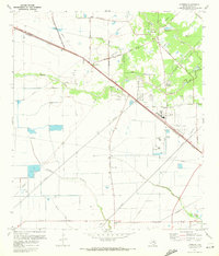 1970 Cypress1972 Print · USGSCypress and its surrounding prairie are shown here during the early 1970s as suburban growth began to reach into rural Harris County. Researchers can trace family history through sites like Graves Cem and Muller Cem, or follow the Southern Pacific rail line through Hot Wells.3 unique versions available
 - 1971 Map of Warren Lake, 1974 Print
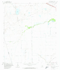 1971 Warren Lake1974 Print · USGSHarris County ranch land and prairie drainage are documented here in the early seventies, before suburban expansion reached these western reaches. Trace the Old Railroad Grade, explore the grounds of the Warren Ranch, and locate the Fish Hatchery along Cypress Creek.2 unique versions available
 - 1975 Map of Houston, 1977 Print
 1975 Houston1977 Print · USGSThe Texas Gulf Coast in the mid-seventies shows a sprawling Houston metropolis linked to the sea by the massive Houston Ship Channel. Researchers can trace the mid-century industrial landscape from the Astrodome to the Lyndon B. Johnson Space Center.2 unique versions available
 - 1984 Map of Beaumont
 1984 Beaumont1984 Print · USGSSoutheast Texas in the late seventies and early eighties shows a landscape of expanding reservoirs and deep timber industry. Researchers can trace the development of the Sam Houston National Forest or locate regional landmarks like Grabbs Prairie and the Wynne State Prison Farm.3 unique versions available
 - 1985 Map of Conroe
 1985 Conroe1985 Print · USGSSoutheast Texas in the mid-eighties shows a landscape of timberlands and new lakeside developments. Researchers can trace the legacy of rail lines like the Southern Pacific RR or locate rural communities such as Plantersville, Yarboro, and Hufsmith.2 unique versions available
 - 1992 Map of Houston
 1992 Houston1992 Print · USGSThe Houston metropolitan area reached its modern sprawl in the early nineties, centered on the Buffalo Bayou and a massive regional rail network. Genealogists and historians can trace the development of satellite cities like Sugar Land and Pasadena, or locate legacy sites like the Humble Oil Field and the NASA Lyndon B Johnson Space Center.
 - 1995 Map of Cypress, 1999 Print
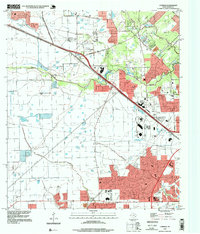 1995 Cypress1999 Print · USGSNorthwest Harris County undergoes rapid suburbanization in the mid-nineties as neighborhood grids expand toward the Cypress community. Genealogists and local historians can trace family burial sites like Knigge Cem alongside landmarks like Weiser Air Park and Hot Wells.
 - 2010 Map of Hockley, 2010 Print
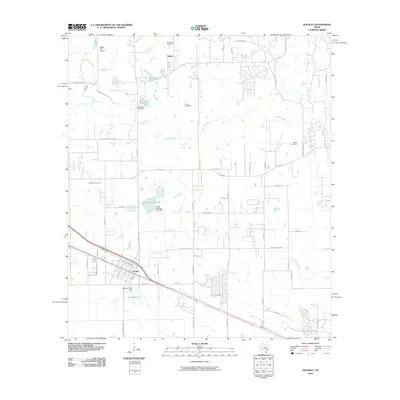 2010 Hockley2010 Print · USGSNorthwest of Houston during the early twenty-first century, this area shows a landscape defined by historic settlements and ranching roots. Genealogists and local historians can trace family ties at Macedonia Cemetery or explore the area near Hegar and Biggin Hill Airport.
 - 2010 Map of Rose Hill, 2010 Print
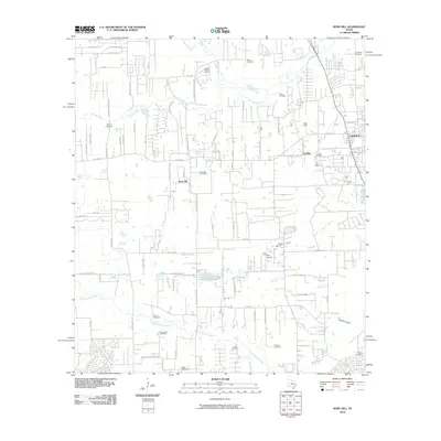 2010 Rose Hill2010 Print · USGSNorthwest Harris County is shown in a state of transition during the 2010s as traditional ranching and oil production meet suburban growth. Genealogists can locate several historic burial grounds like Saint John Cemetery and Rose Hill Cemetery alongside landmarks like May Airport.
Showing maps 1-25 of 43
Frequently asked questions
- What are the different types of historical maps available for The Meadows?
- What is the oldest map of The Meadows?
- Where can I purchase historical maps of The Meadows for my home or office?
- Where can I download high-res historical maps of The Meadows?
- Are there historical topographic maps available for The Meadows?
- Is there historical aerial imagery available for The Meadows?
- Where are historical maps of The Meadows sourced from?