2020s Maps of Niederwald, Texas
Explore 4 historic maps of Niederwald from the 2020s. These maps offer a rare glimpse into what life looked like during the 2020s — showing old roads, neighborhoods, homes, and landmarks that have changed or disappeared over time.
Whether you're researching your family's past, planning a metal detecting trip, or studying how Niederwald's landscape evolved across the 2020s, these high-resolution maps are a powerful tool for exploring the history of this region.
- Focus on a specific era: All maps on this page are from the 2020s, giving you a focused view of this time period.
- See what’s changed: Compare century-old streets, trails, and buildings to today's modern landscape using overlays and satellite layers.
- Research with precision: Use these maps for genealogy, historical research, land use analysis, or educational projects.
- View, download, or print: Maps are fully viewable online in high resolution, and can be downloaded or printed for your own records.
Start exploring Niederwald's history through authentic maps from the 2020s. This is your window into the past.
Niederwald, TX maps
(4)- 2022 Map of Uhland, 2022 Print
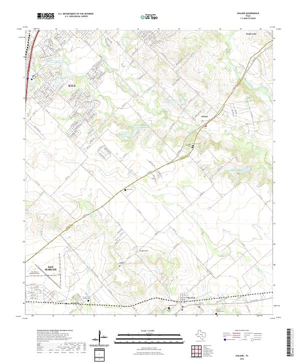 2022 Uhland2022 Print · USGSThe Hays and Caldwell county borderlands are captured here in the early 2020s, showing a mix of residential growth and rural heritage. Genealogists can locate several historic burial sites, including Saint Michaels Cem, Ebenezer Cem, and the Maxwell Hispanic Cem.
 - 2022 Map of Lockhart North, 2022 Print
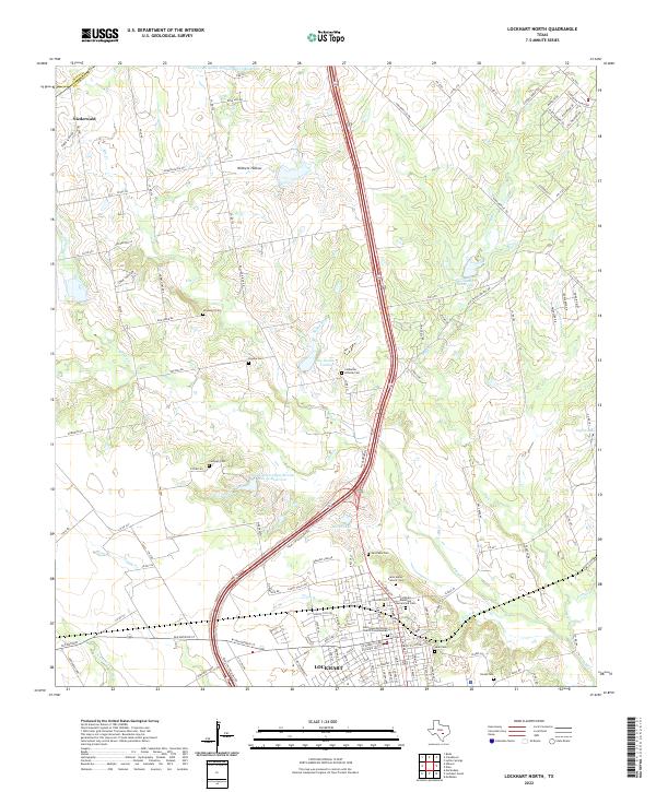 2022 Lockhart North2022 Print · USGSNorthern Caldwell County comes to life in this recent survey of the lands between Niederwald and Lockhart. Researchers can trace numerous family and community burial sites like Polonia Cem and Ledbetter Hillside Cem along Plum Creek.
 - 2022 Map of Creedmoor, 2022 Print
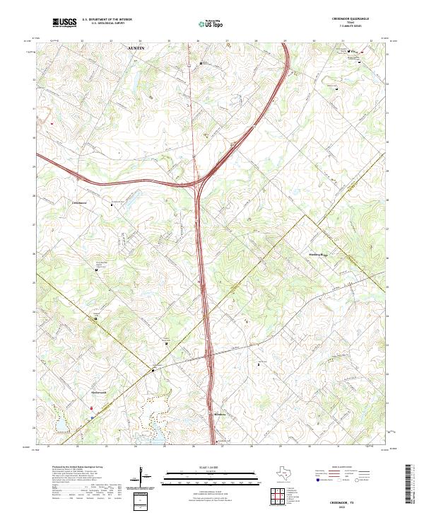 2022 Creedmoor2022 Print · USGSSoutheast of the Austin metropolitan area in the early 2020s, this landscape shows the convergence of four counties and their rural history. Genealogists can trace Swedish and Mexican heritage through sites like Moline Swedish Lutheran Cem and Elroy Mexican Baptist Church Cem.
 - 2022 Map of Buda, 2022 Print
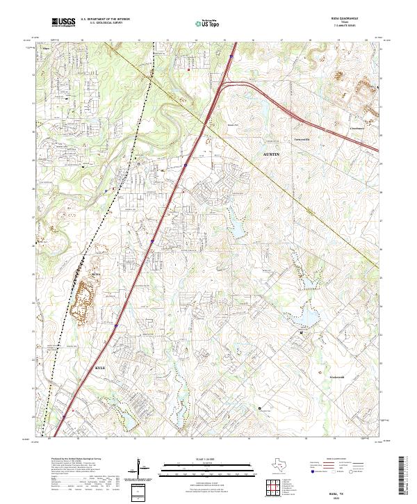 2022 Buda2022 Print · USGSThe corridor between Buda and Kyle comes into sharp focus during this era of Central Texas growth. Genealogists can trace early settler history at Winters Cem and Antioch Cem or follow the historic route of the Old San Antonio Rd.
End of results
Showing maps 1-4 of 4
Top cities near Niederwald
- Austin historical maps
- San Marcos historical maps
- Kyle historical maps
- Buda historical maps
- Lockhart historical maps
- Martindale historical maps
See more
Frequently asked questions
- What are the different types of historical maps available for Niederwald?
- What is the oldest map of Niederwald?
- Where can I purchase historical maps of Niederwald for my home or office?
- Where can I download high-res historical maps of Niederwald?
- Are there historical topographic maps available for Niederwald?
- Is there historical aerial imagery available for Niederwald?
- Where are historical maps of Niederwald sourced from?