2020s Maps of Canadian, Texas
Explore 2 historic maps of Canadian from the 2020s. These maps offer a rare glimpse into what life looked like during the 2020s — showing old roads, neighborhoods, homes, and landmarks that have changed or disappeared over time.
Whether you're researching your family's past, planning a metal detecting trip, or studying how Canadian's landscape evolved across the 2020s, these high-resolution maps are a powerful tool for exploring the history of this region.
- Focus on a specific era: All maps on this page are from the 2020s, giving you a focused view of this time period.
- See what’s changed: Compare century-old streets, trails, and buildings to today's modern landscape using overlays and satellite layers.
- Research with precision: Use these maps for genealogy, historical research, land use analysis, or educational projects.
- View, download, or print: Maps are fully viewable online in high resolution, and can be downloaded or printed for your own records.
Start exploring Canadian's history through authentic maps from the 2020s. This is your window into the past.
Canadian, TX maps
(2)- 2022 Map of Canadian West, 2022 Print
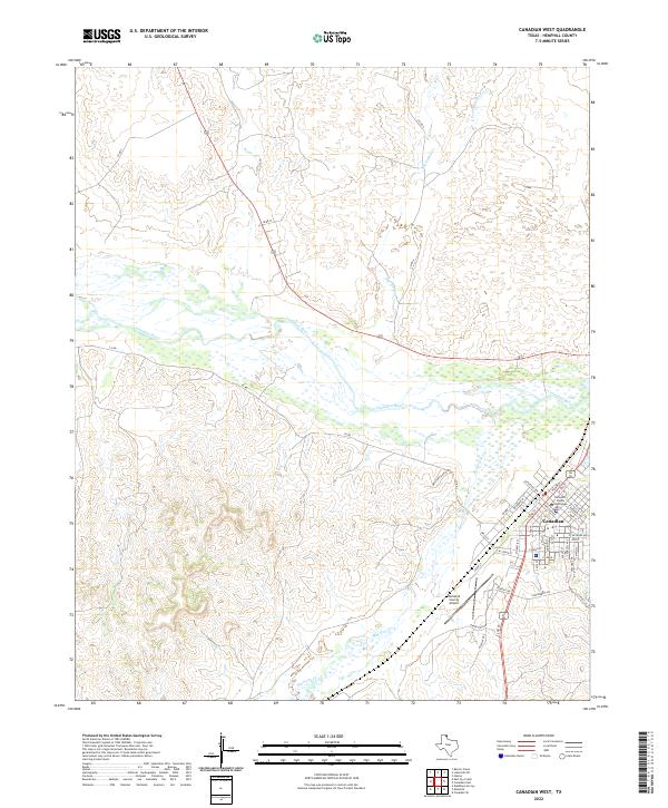 2022 Canadian West2022 Print · USGSThe Texas Panhandle town of Canadian is documented here in the early twenty-first century, centered on its seat of local government. Researchers can trace the town grid around the Hemphill County Courthouse or follow the winding Canadian River and Red Deer Cr.
 - 2022 Map of Canadian East, 2022 Print
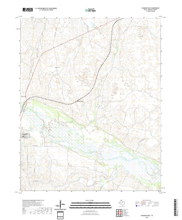 2022 Canadian East2022 Print · USGSThe eastern edge of Canadian and the wide river valley are documented here in the early 2020s. Genealogists and historians can trace family locations near the Edith Ford Memorial Cemeteries and land along Clear Creek or Tanner Flat.
End of results
Showing maps 1-2 of 2
Frequently asked questions
- What are the different types of historical maps available for Canadian?
- What is the oldest map of Canadian?
- Where can I purchase historical maps of Canadian for my home or office?
- Where can I download high-res historical maps of Canadian?
- Are there historical topographic maps available for Canadian?
- Is there historical aerial imagery available for Canadian?
- Where are historical maps of Canadian sourced from?