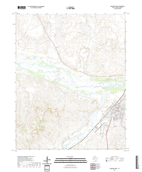
2022 Map of Canadian West
USGS Topo · Published 2022About this map
Canadian serves as the focal point of this survey, positioned where the High Plains drop into the broad valley of the Canadian River. The town layout is clearly defined, centered around the Hemphill County Courthouse and a grid of residential streets like S 4th St and E Main St. The landscape south and west of the city is dominated by the complex drainage systems of Red Deer Cr and Simmons Cr, which carve through the breaks and canyons typical of this Texas Panhandle region.
Find a feature on this map
49 named features on this map. Tap any name to fly to it.
Don’t see what you’re looking for? This feature index may not catch every label — zoom into the map to look around manually.
Map Details
Editions of this 2022 Canadian West Map
This is the sole edition of this map. No revisions or reprints were ever made.
Other maps of this area

1954 · Perryton
USGS Topo · 1:250,000

1954 · Amarillo
USGS Topo · 1:250,000

1958 · Perryton
USGS Topo · 1:250,000

1958 · Amarillo
USGS Topo · 1:250,000

1967 · Mendota
USGS Topo · 1:24,000

1967 · Canadian SE
USGS Topo · 1:24,000

1972 · Washburn Arroyo
USGS Topo · 1:24,000

1972 · Canadian West
USGS Topo · 1:24,000

1972 · East Dry Creek
USGS Topo · 1:24,000

1972 · Canadian East
USGS Topo · 1:24,000