Old Maps of Cipres, Texas for Metal Detecting
Plan your next treasure hunt with 14 historic maps of Cipres. Find old homesites, ghost towns, trails, and gathering spots that may be lost to time — perfect for identifying promising metal detecting locations.
- Locate forgotten sites: Uncover places like long-lost settlements, abandoned rail lines, or gathering spots.
- Plan better hunts: Use map overlays combined with LiDAR or satellite views to narrow in on historically rich areas.
- Made for detectorists: Thousands of hobbyists use these maps to discover relics, coins, and hidden history.
Use these historic maps to boost your research and find new opportunities beneath the surface of Cipres.
Cipres, TX maps
(14)- 1939 Map of La Reforma, 1959 Print
 1939 La Reforma1959 Print · USGSThe ranching country of South Texas comes alive in the late 1930s, showing the intersection of cattle territory and the budding oil industry. Genealogists can trace family holdings and local landmarks like the Sam Lane School, Arkansas City, and La Reforma.
 - 1949 Map of Mc Allen, 1954 Print
 1949 Mc Allen1954 Print · USGSThe Rio Grande Valley at mid-century reveals a bustling international corridor of citrus groves, rail lines, and growing border towns. Genealogists and historians can trace the Missouri Pacific RR through McAllen or locate rural landmarks like the Santa Fe School and Arkansas City.
 - 1954 Map of McAllen
 1954 McAllen1954 Print · USGSThe Lower Rio Grande Valley in the mid-fifties is captured here as a burgeoning hub of agriculture, oil, and international trade. Researchers can trace the extensive rail lines of the St Louis Brownsville and Mexico or locate rural landmarks like Tacubaya School and Clay Dusting Service.
 - 1957 Map of Mc Allen, 1962 Print
 1957 Mc Allen1962 Print · USGSThe South Texas borderlands emerge in the late fifties as a hub of energy production and military activity. Researchers can trace the river economy through Rio Grande City, find the Brewster School, and locate the Moore Air Force Base.2 unique versions available
 - 1962 Map of McAllen
 1962 McAllen1962 Print · USGSThe Lower Rio Grande Valley in the mid-twentieth century shows a complex landscape of irrigation, oil production, and border commerce. Genealogists and historians can trace family roots through riverside towns like Zapata, Roma-Los Saenz, and Hidalgo, or locate landmarks like Santa Elena Ch and Moore Air Force Base.
 - 1972 Map of La Reforma, 1975 Print
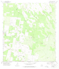 1972 La Reforma1975 Print · USGSSouth Texas ranching and oil exploration meet in the early 1970s along the Hidalgo and Starr county line. Trace local family history through Santa Monica Cem and find remote landmarks like Guadalupe Toreros Church and La Rosita Windmill.2 unique versions available
 - 1983 Map of Mc Allen, 1984 Print
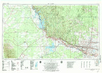 1983 Mc Allen1984 Print · USGSThe Lower Rio Grande Valley is captured here during the early 1980s, showcasing the intense cross-border connectivity and agricultural expansion of the era. Researchers can trace the sprawling irrigation networks around Mc Allen and Mission, or locate landmarks like the Zapata Aircraft Control and Warning Station and Falcon State Park.
 - 1985 Map of Encino
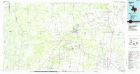 1985 Encino1985 Print · USGSThe ranching and oil country of South Texas comes to life in the mid-1980s as the energy industry expanded across Starr and Brooks Counties. Family historians can trace ancestral lands near San Antonio Viejo, old rail stops like Encino, and the sprawling Alta Mesa Oil Field.
 - 1992 Map of Encino
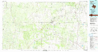 1992 Encino1992 Print · USGSThe South Texas brush country comes into focus in the early nineties, showing a landscape defined by ranching heritage and the energy industry. Genealogists and historians can trace family-named sites like San Antonio Viejo, Agua Nueva, and the rail stop at Linn Siding.
 - 2010 Map of La Reforma, 2010 Print
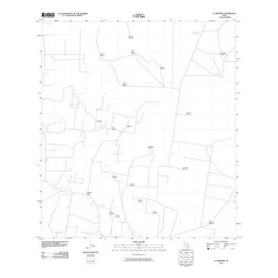 2010 La Reforma2010 Print · USGSThe rural community of Puerto Rico and its surrounding ranchlands are captured here in the early twenty-first century. Genealogists and local historians can locate three distinct burial sites including Santa Rita Cemetery and trace a network of named family landmarks like Alaniz Windmill.
 - 2012 Map of La Reforma, 2012 Print
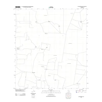 2012 La Reforma2012 Print · USGSHidalgo County ranching life is documented here in the early twenty-first century, showing the enduring reliance on groundwater in South Texas. Family history researchers can trace local roots through Santa Rita Cem or locate named water sources like Noche Buena Windmill and El Chapote Windmill.
 - 2016 Map of La Reforma, 2016 Print
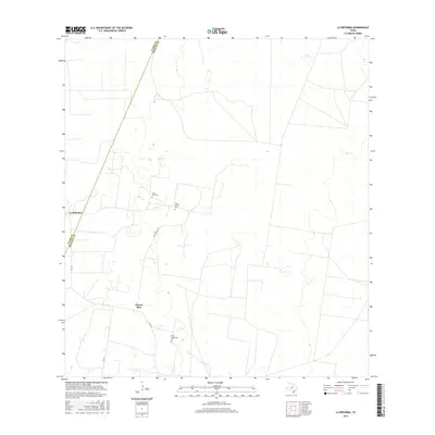 2016 La Reforma2016 Print · USGSIn the brush country of Hidalgo County, this mid-2010s survey shows the rural settlements and road networks of the Deep South Texas ranchlands. Genealogists can trace family heritage at several local burial sites, including Santa Rita Cem, Santa Monica Cem, and Santa Guadalupe Cem.
 - 2019 Map of La Reforma, 2019 Print
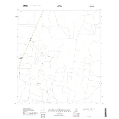 2019 La Reforma2019 Print · USGSThe ranching country of South Texas comes into focus here in the late 2010s, centered on the small settlements of Puerto Rico and La Reforma. Genealogists can locate family landmarks like Santa Rita Cem and Santa Monica Cem along the quiet ranch roads.
 - 2022 Map of La Reforma, 2022 Print
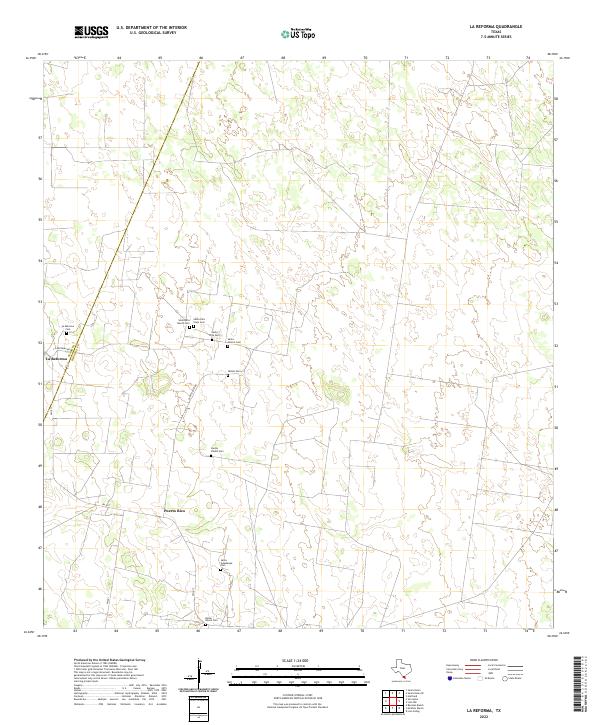 2022 La Reforma2022 Print · USGSThe South Texas brushland comes alive on this recent survey of the borderlands between Hidalgo and Starr counties. Genealogists can trace family heritage through a dense cluster of burial sites including Santa Rita Viejo Cem, Santos Valdez Cem, and Bazan Ranch Cem.
End of results
Showing maps 1-14 of 14
Top cities near Cipres
Frequently asked questions
- What are the different types of historical maps available for Cipres?
- What is the oldest map of Cipres?
- Where can I purchase historical maps of Cipres for my home or office?
- Where can I download high-res historical maps of Cipres?
- Are there historical topographic maps available for Cipres?
- Is there historical aerial imagery available for Cipres?
- Where are historical maps of Cipres sourced from?