Old Maps of Crow, Texas
Explore 14 old maps of Crow, spanning from 1949 to today. These high-resolution historic maps reveal how streets, neighborhoods, landmarks, and natural features evolved over time — perfect for genealogy, metal detecting, research, and local history exploration.
What you can do with these maps:
- See how Crow changed over time: Compare historical maps to modern-day views to trace roads, homesites, rail lines & more.
- View detailed metadata: Each map includes creators, publishers, year, scale, and archive source.
- Overlay maps with satellite & LiDAR: Visualize the past alongside modern tools to explore terrain & human change.
- Trusted historical sources: Maps sourced from the USGS, Library of Congress, and other archives.
- Access maps your way: View online, download high-res files, or order prints for personal or research use.
Start exploring old maps of Crow to uncover forgotten places, hidden landmarks, and the deep history beneath your feet.
Crow, TX maps
(14)- 1949 Map of Mc Allen, 1954 Print
 1949 Mc Allen1954 Print · USGSThe Rio Grande Valley at mid-century reveals a bustling international corridor of citrus groves, rail lines, and growing border towns. Genealogists and historians can trace the Missouri Pacific RR through McAllen or locate rural landmarks like the Santa Fe School and Arkansas City.
 - 1954 Map of McAllen
 1954 McAllen1954 Print · USGSCovers Crow, including Reynosa, McAllen, and other nearby areas
 - 1956 Map of Los Ebanos
 1956 Los Ebanos1956 Print · USGSThe Rio Grande borderlands of South Texas are captured here as they appeared between the world wars. Genealogists and local historians can trace family-named sites like Antonio de la Banco and early river settlements including Los Ebanos and Havana.
 - 1957 Map of Mc Allen, 1962 Print
 1957 Mc Allen1962 Print · USGSThe South Texas borderlands emerge in the late fifties as a hub of energy production and military activity. Researchers can trace the river economy through Rio Grande City, find the Brewster School, and locate the Moore Air Force Base.2 unique versions available
 - 1962 Map of McAllen
 1962 McAllen1962 Print · USGSThe Lower Rio Grande Valley in the mid-twentieth century shows a complex landscape of irrigation, oil production, and border commerce. Genealogists and historians can trace family roots through riverside towns like Zapata, Roma-Los Saenz, and Hidalgo, or locate landmarks like Santa Elena Ch and Moore Air Force Base.
 - 1965 Map of Los Ebanos, 1968 Print
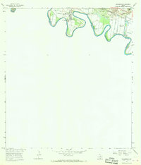 1965 Los Ebanos1968 Print · USGSThe Rio Grande Valley borderlands appear here in the mid-1960s, a landscape defined by the river's winding course and the busy gravel and gas industries. You can trace the historic International Ferry at Los Ebanos and locate rail-dependent sites like Sam Fordyce and Crow.
 - 1983 Map of Mc Allen, 1984 Print
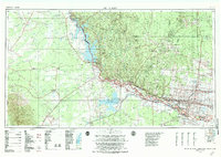 1983 Mc Allen1984 Print · USGSThe Lower Rio Grande Valley is captured here during the early 1980s, showcasing the intense cross-border connectivity and agricultural expansion of the era. Researchers can trace the sprawling irrigation networks around Mc Allen and Mission, or locate landmarks like the Zapata Aircraft Control and Warning Station and Falcon State Park.
 - 1992 Map of Mc Allen, 1993 Print
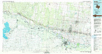 1992 Mc Allen1993 Print · USGSThe Lower Rio Grande Valley in the early nineties shows a dense network of border settlements and agricultural tracts. Genealogists and historians can trace the growth of Mc Allen, Mission, and Rio Grande City or locate family sites near the Yturria Oil Field.
 - 2002 Map of Los Ebanos, 2003 Print
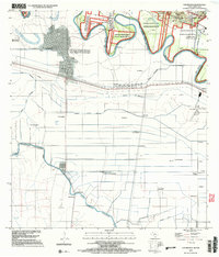 2002 Los Ebanos2003 Print · USGSAlong the border at the turn of the millennium, this area features the unique International Ferry at Los Ebanos. Genealogists and historians can trace numerous named settlements like Venecia and San Juan del Rio alongside the complex Canal Principal Guillermo Rode.
 - 2010 Map of Los Ebanos, 2010 Print
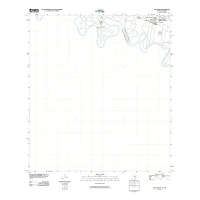 2010 Los Ebanos2010 Print · USGSCovers Crow, including Gustavo Díaz Ordaz, Venecia, and other nearby areas
 - 2013 Map of Los Ebanos, 2013 Print
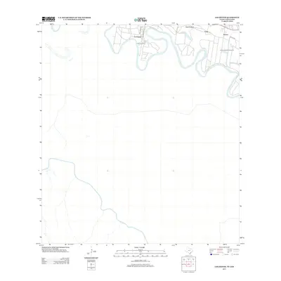 2013 Los Ebanos2013 Print · USGSCovers Crow, including Gustavo Díaz Ordaz, Venecia, and other nearby areas
 - 2016 Map of Los Ebanos, 2016 Print
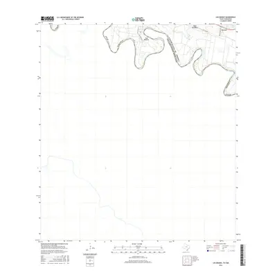 2016 Los Ebanos2016 Print · USGSCovers Crow, including Gustavo Díaz Ordaz, Venecia, and other nearby areas
 - 2019 Map of Los Ebanos, 2019 Print
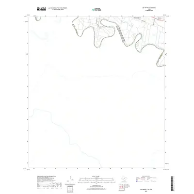 2019 Los Ebanos2019 Print · USGSCovers Crow, including Gustavo Díaz Ordaz, Venecia, and other nearby areas
 - 2022 Map of Los Ebanos, 2022 Print
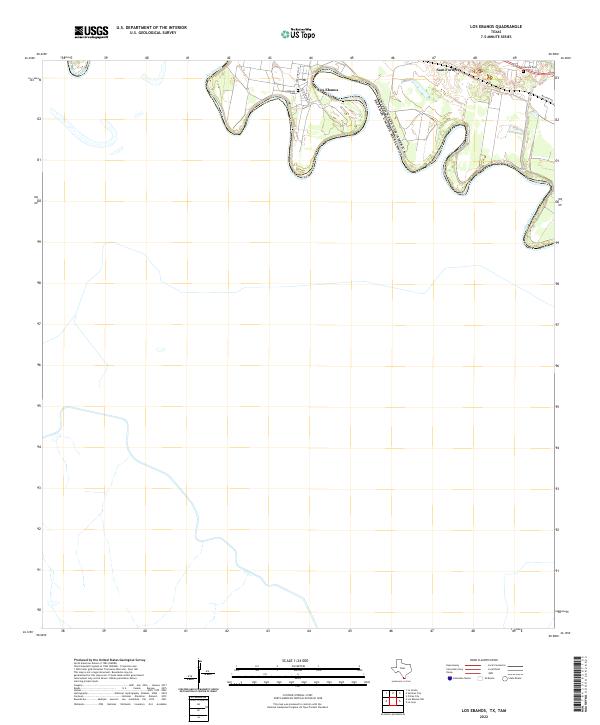 2022 Los Ebanos2022 Print · USGSThe Texas-Mexico border comes into focus along the winding Rio Grande in the early 2020s. Researchers can trace local lineage and land use through the Los Ebanos Cemetery, the settlement of Sam Fordyce, and the historic Military Rd.
End of results
Showing maps 1-14 of 14
Top cities near Crow
- McAllen historical maps
- Mission historical maps
- Palmview historical maps
- Alton historical maps
- Doffing historical maps
- Palmhurst historical maps
See more
Frequently asked questions
- What are the different types of historical maps available for Crow?
- What is the oldest map of Crow?
- Where can I purchase historical maps of Crow for my home or office?
- Where can I download high-res historical maps of Crow?
- Are there historical topographic maps available for Crow?
- Is there historical aerial imagery available for Crow?
- Where are historical maps of Crow sourced from?