2000s (21st Century) Maps of Valle Alto Number 1 Colonia, Hidalgo
Explore 6 historic maps of Valle Alto Number 1 Colonia from the 2000s (21st Century). These maps offer a rare glimpse into what life looked like during the 2000s — showing old roads, neighborhoods, homes, and landmarks that have changed or disappeared over time.
Whether you're researching your family's past, planning a metal detecting trip, or studying how Valle Alto Number 1 Colonia's landscape evolved across the 2000s, these high-resolution maps are a powerful tool for exploring the history of this region.
- Focus on a specific era: All maps on this page are from the 2000s, giving you a focused view of this time period.
- See what’s changed: Compare century-old streets, trails, and buildings to today's modern landscape using overlays and satellite layers.
- Research with precision: Use these maps for genealogy, historical research, land use analysis, or educational projects.
- View, download, or print: Maps are fully viewable online in high resolution, and can be downloaded or printed for your own records.
Start exploring Valle Alto Number 1 Colonia's history through authentic maps from the 2000s. This is your window into the past.
Valle Alto Number 1 Colonia, Hidalgo maps
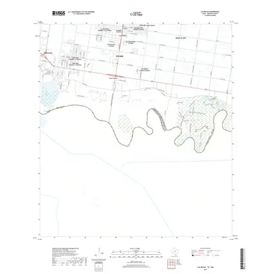
(6)- 2002 Map of Las Milpas, 2003 Print
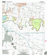 2002 Las Milpas2003 Print · USGSThe international border along the Rio Grande was a landscape of wildlife refuges and growing irrigation hubs at the turn of the millennium. Researchers can trace old family burial grounds like Old Cem and Jackson Cem alongside the complex river bancos of the Rio Grande Bravo.
 - 2010 Map of Las Milpas, 2010 Print
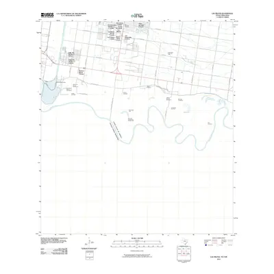 2010 Las Milpas2010 Print · USGSCovers Valle Alto Number 1 Colonia, including Pharr, San Juan, and other nearby areas
 - 2013 Map of Las Milpas, 2013 Print
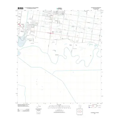 2013 Las Milpas2013 Print · USGSCovers Valle Alto Number 1 Colonia, including Pharr, San Juan, and other nearby areas
 - 2016 Map of Las Milpas, 2016 Print
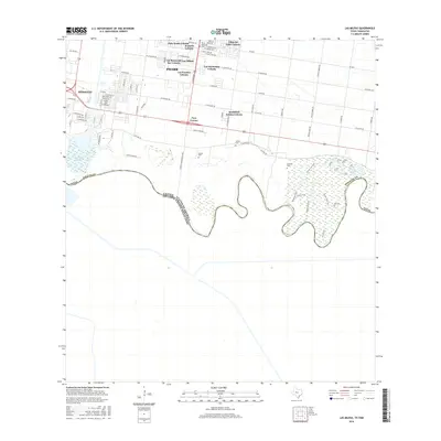 2016 Las Milpas2016 Print · USGSCovers Valle Alto Number 1 Colonia, including Pharr, San Juan, and other nearby areas
 - 2019 Map of Las Milpas, 2019 Print
 2019 Las Milpas2019 Print · USGSCovers Valle Alto Number 1 Colonia, including Pharr, San Juan, and other nearby areas
 - 2022 Map of Las Milpas, 2022 Print
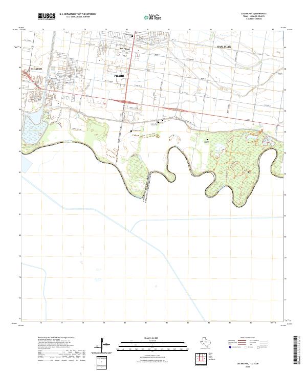 2022 Las Milpas2022 Print · USGSThe borderlands south of Pharr and San Juan are captured here during a period of modern growth and agricultural activity. Genealogists can trace family heritage at several small burial sites, including Santa Ana Cem and Jackson Ranch Church Cem.
End of results
Showing maps 1-6 of 6
Top cities near Valle Alto Number 1 Colonia
- McAllen historical maps
- Edinburg historical maps
- Mission historical maps
- Pharr historical maps
- Weslaco historical maps
- San Juan historical maps
See more
Frequently asked questions
- What are the different types of historical maps available for Valle Alto Number 1 Colonia?
- What is the oldest map of Valle Alto Number 1 Colonia?
- Where can I purchase historical maps of Valle Alto Number 1 Colonia for my home or office?
- Where can I download high-res historical maps of Valle Alto Number 1 Colonia?
- Are there historical topographic maps available for Valle Alto Number 1 Colonia?
- Is there historical aerial imagery available for Valle Alto Number 1 Colonia?
- Where are historical maps of Valle Alto Number 1 Colonia sourced from?