2000s (21st Century) Maps of La Joya, Texas
Explore 12 historic maps of La Joya from the 2000s (21st Century). These maps offer a rare glimpse into what life looked like during the 2000s — showing old roads, neighborhoods, homes, and landmarks that have changed or disappeared over time.
Whether you're researching your family's past, planning a metal detecting trip, or studying how La Joya's landscape evolved across the 2000s, these high-resolution maps are a powerful tool for exploring the history of this region.
- Focus on a specific era: All maps on this page are from the 2000s, giving you a focused view of this time period.
- See what’s changed: Compare century-old streets, trails, and buildings to today's modern landscape using overlays and satellite layers.
- Research with precision: Use these maps for genealogy, historical research, land use analysis, or educational projects.
- View, download, or print: Maps are fully viewable online in high resolution, and can be downloaded or printed for your own records.
Start exploring La Joya's history through authentic maps from the 2000s. This is your window into the past.
La Joya, TX maps
(12)- 2002 Map of La Joya, 2003 Print
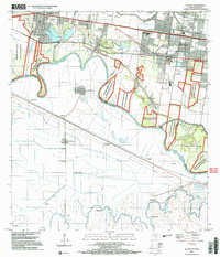 2002 La Joya2003 Print · USGSThe Rio Grande Valley at the start of the twenty-first century reveals a complex borderland of irrigation canals and growing riverside communities. Genealogists and local historians can trace family-named landmarks like Perezville, old burial grounds such as Sacramento Cem, and numerous school sites.
 - 2002 Map of Citrus City, 2003 Print
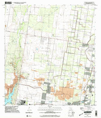 2002 Citrus City2003 Print · USGSNear the turn of the millennium, this portion of Hidalgo County reveals a landscape where historic ranching and modern industry meet. Genealogists and historians can trace legacy sites like La Morita Ranch and Santa Rita Ranch alongside the vast Tabasco Oil and Gas Field.
 - 2010 Map of Citrus City, 2010 Print
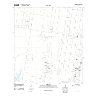 2010 Citrus City2010 Print · USGSHidalgo County's residential landscape is shown in detail during a period of significant growth at the start of the decade. Genealogists and local historians can trace the development of numerous colonias like Puerta Blanca Colonia and Mary K Acres Colonia, alongside rural landmarks like La Morita Windmill.
 - 2010 Map of La Joya, 2010 Print
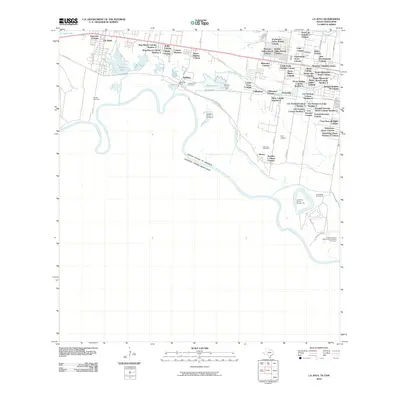 2010 La Joya2010 Print · USGSThe Rio Grande borderlands in the early twenty-first century are defined here by a dense tapestry of colonias and irrigation works. Researchers can trace family history through local sites like San Antonio Cemetery and the many residential settlements like Perezville or La Joya.
 - 2012 Map of Citrus City, 2012 Print
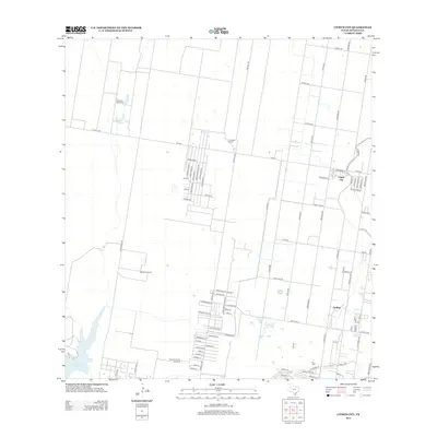 2012 Citrus City2012 Print · USGSHidalgo County's agrarian and residential landscape is captured here in the early twenty-first century as modern subdivisions expand near traditional cattle lands. Researchers can trace local development through named settlements like Citrus City and Doffing, or locate industrial landmarks such as the Tabasco Oil and Gas Field.
 - 2013 Map of La Joya, 2013 Print
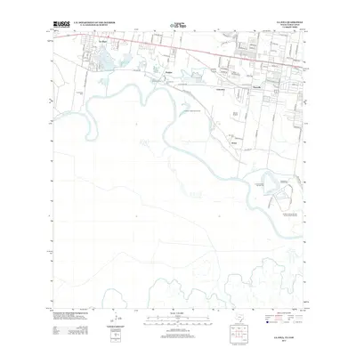 2013 La Joya2013 Print · USGSThe Rio Grande borderlands in the early twenty-first century reveal a landscape shaped by both the river's path and local industry. Genealogists and historians can trace community roots through San Antonio Cem or examine river tracts like King Banco Number 48.
 - 2016 Map of Citrus City, 2016 Print
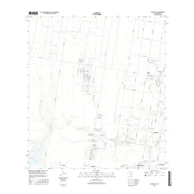 2016 Citrus City2016 Print · USGSHidalgo County's shifting residential landscape comes into focus during the mid-2010s as traditional citrus groves meet new development. Researchers can trace the growing street grids of Citrus City, Doffing, and Penitas near the waters of La Joya Lake.
 - 2016 Map of La Joya, 2016 Print
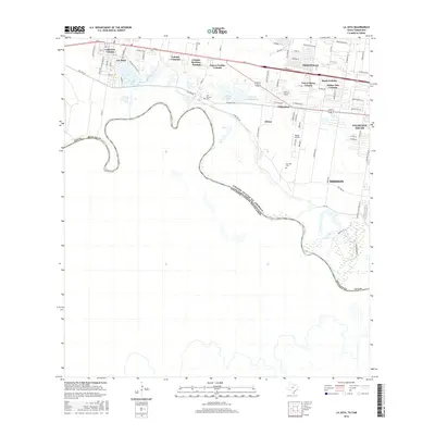 2016 La Joya2016 Print · USGSHidalgo County's borderlands are shown here in the mid-2010s, capturing the winding course of the Rio Grande and the growth of the Rio Grande Valley. Researchers can trace local heritage through the San Antonio Cem, Moore Airpark, and numerous colonias like Colonia Camargo.
 - 2019 Map of Citrus City, 2019 Print
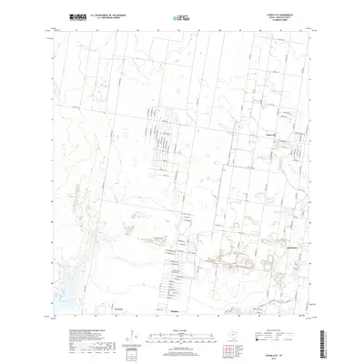 2019 Citrus City2019 Print · USGSHidalgo County's residential growth is on full display in this recent survey of the South Texas corridor. Researchers can trace the modern development of Citrus City and Doffing alongside geographic landmarks like La Joya Lake and the Jara Chinas draws.
 - 2019 Map of La Joya, 2019 Print
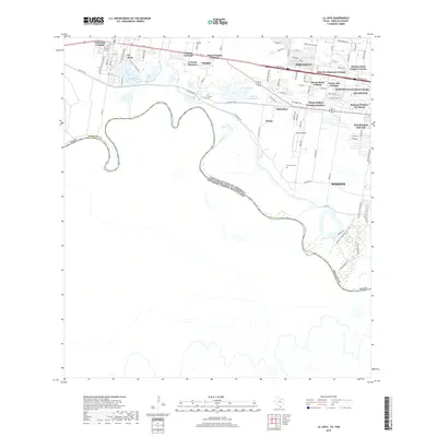 2019 La Joya2019 Print · USGSThe Lower Rio Grande Valley at the end of the 2010s shows a landscape of dense residential growth and historic border routes. Researchers can trace the development of Perezville, La Joya, and numerous colonias, or locate family sites at San Antonio Cem and San Jose Cem.
 - 2022 Map of Citrus City, 2022 Print
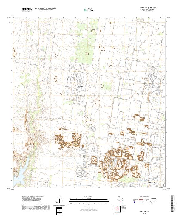 2022 Citrus City2022 Print · USGSHidalgo County settlements near the southern border reflect rapid modern growth within a traditional agricultural grid. Trace the layout of growing communities like Citrus City, Salida del Sol Estates, and the waters of La Joya Lake.
 - 2022 Map of La Joya, 2022 Print
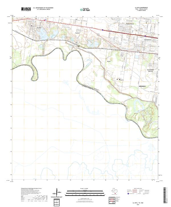 2022 La Joya2022 Print · USGSThe Texas borderlands along the Rio Grande are captured here in the early twenty-first century as communities like Penitas and La Joya expand. Genealogists and local historians can trace family sites at San Jose Cem, Lord and I Cem, and throughout the historic Chihuahua settlement.
End of results
Showing maps 1-12 of 12
Top cities near La Joya
- McAllen historical maps
- Mission historical maps
- Palmview historical maps
- Alton historical maps
- Hidalgo historical maps
- Doffing historical maps
See more
Top neighborhoods of La Joya
Frequently asked questions
- What are the different types of historical maps available for La Joya?
- What is the oldest map of La Joya?
- Where can I purchase historical maps of La Joya for my home or office?
- Where can I download high-res historical maps of La Joya?
- Are there historical topographic maps available for La Joya?
- Is there historical aerial imagery available for La Joya?
- Where are historical maps of La Joya sourced from?