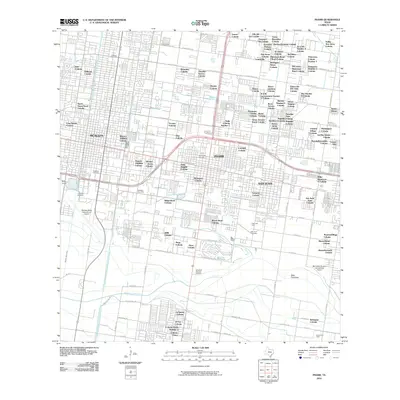
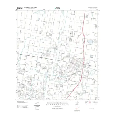
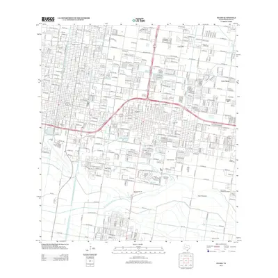
Old Maps of Pharr, Texas for Genealogy
Trace your family roots with 28 historic maps of Pharr. These high-res maps reveal old neighborhoods, homesites, landmarks, and streets — helping you uncover where your ancestors lived and how the area evolved over time.
- Explore historic neighborhoods: Identify where your relatives may have lived in the 1800s or 1900s.
- Compare maps over time: Trace the changes in streets, buildings, and landmarks for multi-generational research.
- Perfect for genealogy & ancestry research: Used by family historians and researchers to map out lineage and migration.
These maps are an incredible resource for exploring your personal connection to Pharr's past.
Pharr, TX maps
(28)- 1914 Map of San Juan
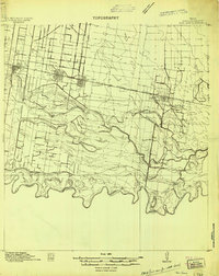 1914 San Juan1914 Print · USGSThe Lower Rio Grande Valley is captured here just before the First World War, showing the early rail-driven growth of McAllen, Pharr, and San Juan. Genealogists and historians can trace the transition from old river-side life along the Military Road to the irrigation-based settlements at Ebenezer and Valley View Plantation.2 unique versions available
 - 1916 Map of San Juan
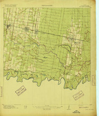 1916 San Juan1916 Print · USGSThe Lower Rio Grande Valley underwent a dramatic transformation in the mid-1910s as rail and irrigation reshaped the border. Trace the early growth of Mc Allen and Pharr or follow the historic Military Road as it winds past the Valley View Plantation.3 unique versions available
 - 1949 Map of Mc Allen, 1954 Print
 1949 Mc Allen1954 Print · USGSThe Rio Grande Valley at mid-century reveals a bustling international corridor of citrus groves, rail lines, and growing border towns. Genealogists and historians can trace the Missouri Pacific RR through McAllen or locate rural landmarks like the Santa Fe School and Arkansas City.
 - 1954 Map of McAllen
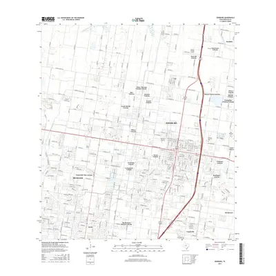
 1954 McAllen1954 Print · USGSCovers Pharr, including Reynosa, McAllen, and other nearby areas
 - 1957 Map of Mc Allen, 1962 Print
 1957 Mc Allen1962 Print · USGSThe South Texas borderlands emerge in the late fifties as a hub of energy production and military activity. Researchers can trace the river economy through Rio Grande City, find the Brewster School, and locate the Moore Air Force Base.2 unique versions available
 - 1962 Map of McAllen
 1962 McAllen1962 Print · USGSThe Lower Rio Grande Valley in the mid-twentieth century shows a complex landscape of irrigation, oil production, and border commerce. Genealogists and historians can trace family roots through riverside towns like Zapata, Roma-Los Saenz, and Hidalgo, or locate landmarks like Santa Elena Ch and Moore Air Force Base.
 - 1962 Map of Las Milpas, 1965 Print
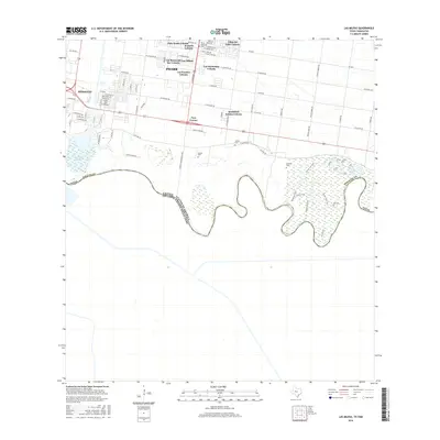
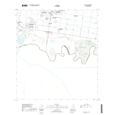
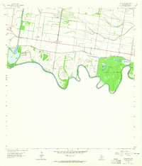 1962 Las Milpas1965 Print · USGSThe Rio Grande borderlands in the early sixties reveal a landscape of irrigation canals, gas fields, and conservation. Researchers can trace family history through sites like Pharr Memorial Cem, Capota Cem, and the rural Valley View Sch.2 unique versions available
 - 1963 Map of Edinburg, 1965 Print
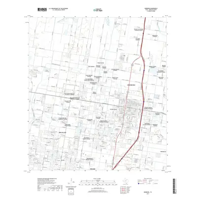
 1963 Edinburg1965 Print · USGSEdinburg in the early sixties was a thriving valley hub where irrigation canals and rail lines met amongst the citrus groves. Researchers can trace the layout of Pan American College, the Old Edinburg Cem, and the tracks of the Southern Pacific Railroad.3 unique versions available
 - 1963 Map of Pharr, 1965 Print
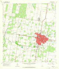
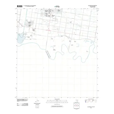
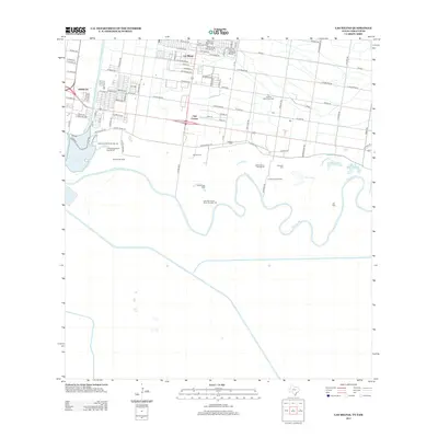
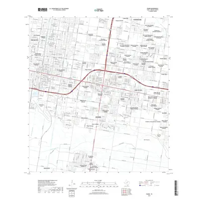
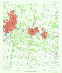 1963 Pharr1965 Print · USGSHidalgo County's urban and industrial corridor is captured in the early sixties as it centers on the growth of McAllen and Pharr. Researchers can trace the mid-century development of landmarks like Miller International Airport, Guadalupe Cem, and the massive Main Floodway.2 unique versions available
 - 1983 Map of Mc Allen, 1984 Print
 1983 Mc Allen1984 Print · USGSThe Lower Rio Grande Valley is captured here during the early 1980s, showcasing the intense cross-border connectivity and agricultural expansion of the era. Researchers can trace the sprawling irrigation networks around Mc Allen and Mission, or locate landmarks like the Zapata Aircraft Control and Warning Station and Falcon State Park.
 - 1992 Map of Mc Allen, 1993 Print
 1992 Mc Allen1993 Print · USGSThe Lower Rio Grande Valley in the early nineties shows a dense network of border settlements and agricultural tracts. Genealogists and historians can trace the growth of Mc Allen, Mission, and Rio Grande City or locate family sites near the Yturria Oil Field.
 - 2002 Map of Edinburg, 2003 Print
 2002 Edinburg2003 Print · USGSEdinburg and northern McAllen are shown during a period of rapid expansion in the early 2000s, reflecting the region's educational and civic growth. Researchers can trace local heritage through sites like Old Edinburg Cemetery, the University of Texas Pan American, and the Sacred Heart Sch.
 - 2002 Map of Las Milpas, 2003 Print
 2002 Las Milpas2003 Print · USGSThe international border along the Rio Grande was a landscape of wildlife refuges and growing irrigation hubs at the turn of the millennium. Researchers can trace old family burial grounds like Old Cem and Jackson Cem alongside the complex river bancos of the Rio Grande Bravo.
 - 2010 Map of Edinburg, 2010 Print
 2010 Edinburg2010 Print · USGSCovers Pharr, including McAllen, Edinburg, and other nearby areas
 - 2010 Map of Las Milpas, 2010 Print
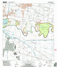
 2010 Las Milpas2010 Print · USGSCovers Pharr, including San Juan, Hidalgo, and other nearby areas
 - 2010 Map of Pharr, 2010 Print
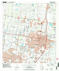
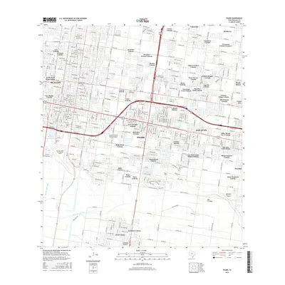
 2010 Pharr2010 Print · USGSCovers Pharr, including McAllen, Edinburg, and other nearby areas
 - 2012 Map of Edinburg, 2012 Print
 2012 Edinburg2012 Print · USGSCovers Pharr, including McAllen, Edinburg, and other nearby areas
 - 2013 Map of Pharr, 2013 Print
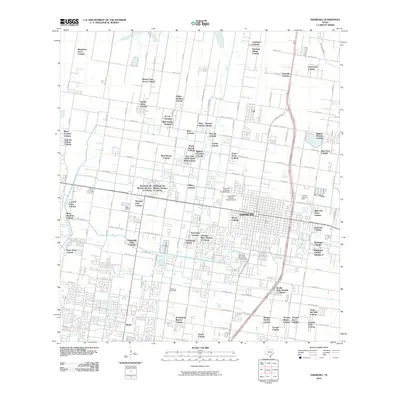
 2013 Pharr2013 Print · USGSCovers Pharr, including McAllen, Edinburg, and other nearby areas
 - 2013 Map of Las Milpas, 2013 Print
 2013 Las Milpas2013 Print · USGSCovers Pharr, including San Juan, Hidalgo, and other nearby areas
 - 2016 Map of Pharr, 2016 Print
 2016 Pharr2016 Print · USGSCovers Pharr, including McAllen, Edinburg, and other nearby areas
 - 2016 Map of Edinburg, 2016 Print
 2016 Edinburg2016 Print · USGSCovers Pharr, including McAllen, Edinburg, and other nearby areas
 - 2016 Map of Las Milpas, 2016 Print
 2016 Las Milpas2016 Print · USGSCovers Pharr, including San Juan, Hidalgo, and other nearby areas
 - 2019 Map of Pharr, 2019 Print
 2019 Pharr2019 Print · USGSCovers Pharr, including McAllen, Edinburg, and other nearby areas
 - 2019 Map of Las Milpas, 2019 Print
 2019 Las Milpas2019 Print · USGSCovers Pharr, including San Juan, Hidalgo, and other nearby areas
 - 2019 Map of Edinburg, 2019 Print
 2019 Edinburg2019 Print · USGSCovers Pharr, including McAllen, Edinburg, and other nearby areas
Showing maps 1-25 of 28
Top cities near Pharr
- McAllen historical maps
- Edinburg historical maps
- Mission historical maps
- Weslaco historical maps
- San Juan historical maps
- Alamo historical maps
See more
Top neighborhoods of Pharr
- Las Haciendas Colonia historical maps
- Las Milpas historical maps
- Los Ranchitos Number 1-3 Colonia historical maps
- Palo Verde Colonia historical maps
- HME Colonia historical maps
- L R Bell Colonia historical maps
See more
Frequently asked questions
- What are the different types of historical maps available for Pharr?
- What is the oldest map of Pharr?
- Where can I purchase historical maps of Pharr for my home or office?
- Where can I download high-res historical maps of Pharr?
- Are there historical topographic maps available for Pharr?
- Is there historical aerial imagery available for Pharr?
- Where are historical maps of Pharr sourced from?