Old Maps of Ropesville, Texas for Hiking & Exploration
Hike through history with 8 historic maps of Ropesville. Explore old trails, ghost towns, and forgotten backroads — perfect for outdoor adventurers and local explorers.
- Rediscover forgotten places: Map out old mining camps, roads, and footpaths that no longer exist on modern maps.
- Layer with modern tools: Combine with LiDAR or satellite views to plan hikes through historical terrain.
- Made for exploration: Popular among hikers, overlanders, and local history lovers.
Use these maps to find adventure and explore the hidden past of Ropesville.
Ropesville, TX maps
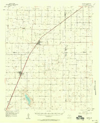
(8)- 1954 Map of Brownfield, 1975 Print
 1954 Brownfield1975 Print · USGSThe High Plains of the Texas-New Mexico border are captured here in the mid-twentieth century, as ranching and oil extraction shaped the Llano Estacado. Genealogists and historians can trace small rural centers like Lums Chapel, Hillburn City, and the Friendship Sch amid a landscape of windmills.2 unique versions available
 - 1957 Map of Meadow, 1958 Print
 1957 Meadow1958 Print · USGSThe West Texas cotton and rail corridor comes alive in this mid-century survey of the High Plains. Genealogists and local historians can trace the foundations of Meadow and Ropesville or locate family sites near Lakeview Ch and the Meadow Cem.
 - 1958 Map of Brownfield
 1958 Brownfield1958 Print · USGSThe High Plains of the Texas-New Mexico border are captured here during a mid-century oil boom. Genealogists and historians can trace old community sites like Lums Chapel and Tokio alongside the vast Levelland and Slaughter Oil and Gas Field.
 - 1962 Map of Brownfield
 1962 Brownfield1962 Print · USGSThe High Plains of Texas and New Mexico are captured in the early sixties as a thriving hub of oil production and ranching. Researchers can trace the industrial footprint of the Levelland and Slaughter Oil and Gas Field or locate smaller towns like Sundown and Littlefield.
 - 1976 Map of Meadow NW, 1978 Print
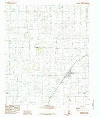
 1976 Meadow NW1978 Print · USGSHockley County agriculture is captured in great detail during the mid-seventies, showing the intersection of industrial farming and small-town life. Researchers can trace the street grid and rail siding of Ropesville alongside the distinct circular patterns of High Plains irrigation.
 - 1985 Map of Ropesville
 1985 Ropesville1985 Print · USGSRopesville and the surrounding West Texas plains are documented here during the mid-eighties as a busy intersection of rail and agriculture. Researchers can trace the path of the Atchison Topeka and Santa Fe RR and locate the Community Center near the border of Hockley Co.
 - 1985 Map of Brownfield, 1986 Print
 1985 Brownfield1986 Print · USGSThe South Plains of West Texas are shown here in the mid-1980s, revealing a landscape defined by massive petroleum operations and scattered rural townships. Genealogists and historians can trace the development of Brownfield and Sundown alongside the Atchison Topeka and Santa Fe rail line.2 unique versions available
 - 2022 Map of Ropesville, 2022 Print
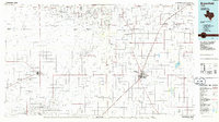
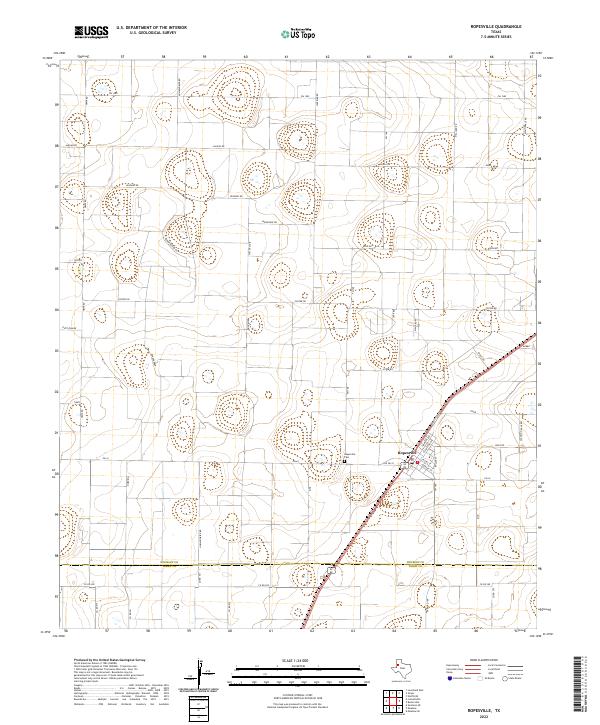 2022 Ropesville2022 Print · USGSThe agricultural plains of the South Plains are captured here in the early twenty-first century, centered on the crossroads of Ropesville. Researchers can trace the town's layout and surrounding rural landmarks like Ropesville Cem and Old Fm 41.
End of results
Showing maps 1-8 of 8
Top cities near Ropesville
- Lubbock historical maps
- Levelland historical maps
- Brownfield historical maps
- Wolfforth historical maps
- Meadow historical maps
- Smyer historical maps
See more
Frequently asked questions
- What are the different types of historical maps available for Ropesville?
- What is the oldest map of Ropesville?
- Where can I purchase historical maps of Ropesville for my home or office?
- Where can I download high-res historical maps of Ropesville?
- Are there historical topographic maps available for Ropesville?
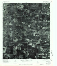
- Is there historical aerial imagery available for Ropesville?
- Where are historical maps of Ropesville sourced from?