Old Maps of Sulphur Springs, Texas for Hiking & Exploration
Hike through history with 28 historic maps of Sulphur Springs. Explore old trails, ghost towns, and forgotten backroads — perfect for outdoor adventurers and local explorers.
- Rediscover forgotten places: Map out old mining camps, roads, and footpaths that no longer exist on modern maps.
- Layer with modern tools: Combine with LiDAR or satellite views to plan hikes through historical terrain.
- Made for exploration: Popular among hikers, overlanders, and local history lovers.
Use these maps to find adventure and explore the hidden past of Sulphur Springs.
Sulphur Springs, TX maps
(28)- 1953 Map of Texarkana, 1964 Print
 1953 Texarkana1964 Print · USGSThe Texas-Arkansas borderlands are captured here in the mid-fifties, during a decade of massive military and hydraulic engineering projects. Genealogists and researchers can locate family landmarks like Old Boston Cem, Siloam Ch, and the vast Red River Arsenal.4 unique versions available
 - 1956 Map of Texarkana
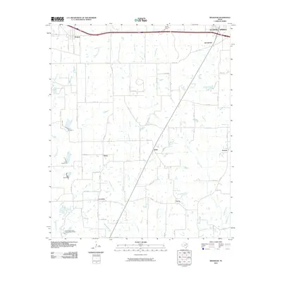
 1956 Texarkana1956 Print · USGSThe Ark-La-Tex borderlands come alive in the mid-fifties, showing the transition from a rail-dependent rural economy to a post-war industrial landscape. Researchers can trace the massive Red River Ordnance Depot and find towns like Talco, Bogata, and Naples.
 - 1962 Map of Brashear, 1966 Print
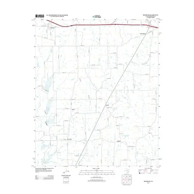
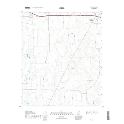
 1962 Brashear1966 Print · USGSHopkins County in the early sixties reveals a landscape of tight-knit rural communities and emerging water management systems. Genealogists and local historians can trace the foundations of Brashear, Shirley, and Rockdale, including specific locations for Rockdale Ch and Greenview Ch.
 - 1964 Map of Sulphur Springs, 1968 Print
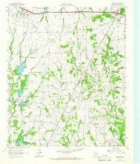
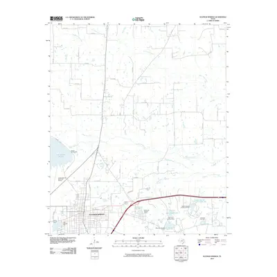
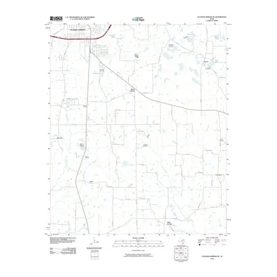
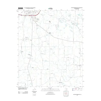
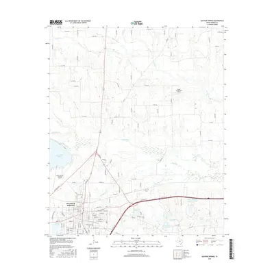
 1964 Sulphur Springs1968 Print · USGSSulphur Springs and its rural environs are captured in the mid-1960s, showing a landscape defined by the St Louis Southwestern railroad and numerous country churches. Genealogists and researchers can trace family-named sites like Beckham Ch, Old Tarrant Ch, and the Odd Fellows Cem.
 - 1964 Map of Gafford Chapel, 1968 Print
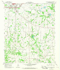
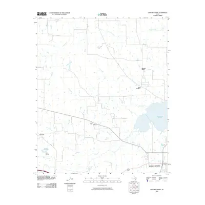
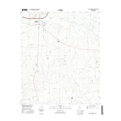
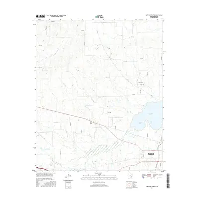
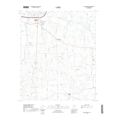
 1964 Gafford Chapel1968 Print · USGSHopkins County, Texas, is captured here in the mid-1960s as a landscape of rural communities and vital rail lines. Genealogists and researchers can trace local landmarks like Gafford Chapel, Webb, and the old Drive-in Theater near the railroad junctions.
 - 1964 Map of Sulphur Springs SE, 1968 Print
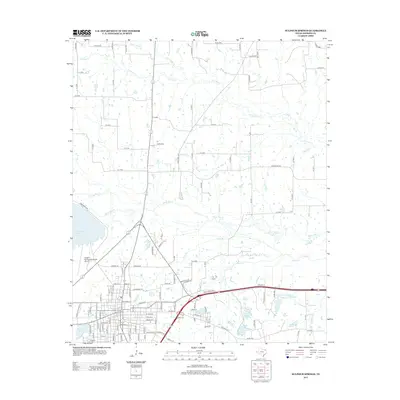
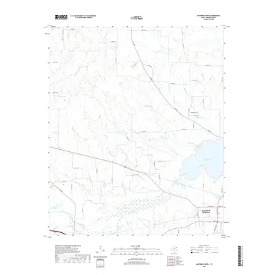
 1964 Sulphur Springs SE1968 Print · USGSThe southeastern corner of Hopkins County in the mid-1960s reveals a network of rural communities and rail-side industry. Genealogists and local historians can trace family-named sites like Mc Keever, old burial grounds like Gamblin Cem, and the quiet community of Reilly Springs.2 unique versions available
 - 1985 Map of Sulphur Springs
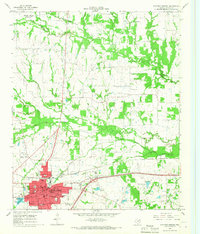
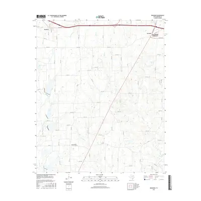
 1985 Sulphur Springs1985 Print · USGSNortheast Texas in the mid-eighties shows a landscape transitioning between its deep-rooted rail towns and a new era of reservoir development. Genealogists and historians can trace family locations near Shooks Chapel, the rural Farmers Academy, and the banks of the South Sulphur River.
 - 1991 Map of Sulphur Springs
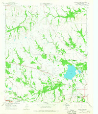
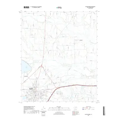
 1991 Sulphur Springs1991 Print · USGSNortheast Texas in the early nineties shows a transition from rail-dependent agriculture to a landscape defined by massive reservoirs. Researchers can trace rural lineages through sites like Gafford Chapel and the Forest Academy Cem, or follow the path of the St Louis Southwestern RR.
 - 2010 Map of Sulphur Springs, 2010 Print
 2010 Sulphur Springs2010 Print · USGSCovers Sulphur Springs, including Hopkins County, United States, and other nearby areas
 - 2010 Map of Gafford Chapel, 2010 Print
 2010 Gafford Chapel2010 Print · USGSCovers Sulphur Springs, including Overland, Good Neighbor, and other nearby areas
 - 2010 Map of Sulphur Springs SE, 2010 Print
 2010 Sulphur Springs SE2010 Print · USGSCovers Sulphur Springs, including Tazewell, Martin Springs, and other nearby areas
 - 2010 Map of Brashear, 2010 Print
 2010 Brashear2010 Print · USGSCovers Sulphur Springs, including Divide, Rockdale, and other nearby areas
 - 2012 Map of Sulphur Springs SE, 2012 Print
 2012 Sulphur Springs SE2012 Print · USGSCovers Sulphur Springs, including Tazewell, Martin Springs, and other nearby areas
 - 2013 Map of Brashear, 2013 Print
 2013 Brashear2013 Print · USGSCovers Sulphur Springs, including Divide, Rockdale, and other nearby areas
 - 2013 Map of Sulphur Springs, 2013 Print
 2013 Sulphur Springs2013 Print · USGSCovers Sulphur Springs, including Hopkins County, United States, and other nearby areas
 - 2013 Map of Gafford Chapel, 2013 Print
 2013 Gafford Chapel2013 Print · USGSCovers Sulphur Springs, including Overland, Good Neighbor, and other nearby areas
 - 2016 Map of Sulphur Springs SE, 2016 Print
 2016 Sulphur Springs SE2016 Print · USGSCovers Sulphur Springs, including Tazewell, Martin Springs, and other nearby areas
 - 2016 Map of Brashear, 2016 Print
 2016 Brashear2016 Print · USGSCovers Sulphur Springs, including Divide, Rockdale, and other nearby areas
 - 2016 Map of Gafford Chapel, 2016 Print
 2016 Gafford Chapel2016 Print · USGSCovers Sulphur Springs, including Overland, Good Neighbor, and other nearby areas
 - 2016 Map of Sulphur Springs, 2016 Print
 2016 Sulphur Springs2016 Print · USGSCovers Sulphur Springs, including Hopkins County, United States, and other nearby areas
 - 2019 Map of Sulphur Springs, 2019 Print
 2019 Sulphur Springs2019 Print · USGSCovers Sulphur Springs, including Hopkins County, United States, and other nearby areas
 - 2019 Map of Gafford Chapel, 2019 Print
 2019 Gafford Chapel2019 Print · USGSCovers Sulphur Springs, including Overland, Good Neighbor, and other nearby areas
 - 2019 Map of Brashear, 2019 Print
 2019 Brashear2019 Print · USGSCovers Sulphur Springs, including Divide, Rockdale, and other nearby areas
 - 2019 Map of Sulphur Springs SE, 2019 Print
 2019 Sulphur Springs SE2019 Print · USGSCovers Sulphur Springs, including Tazewell, Martin Springs, and other nearby areas
 - 2022 Map of Sulphur Springs SE, 2022 Print
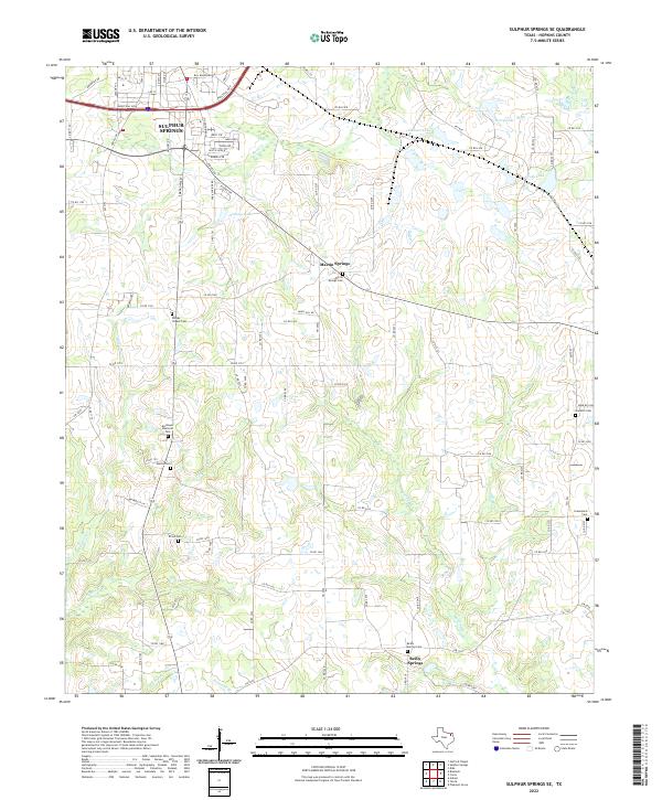 2022 Sulphur Springs SE2022 Print · USGSSulphur Springs and its southeastern rural reaches are mapped here in the early 2020s, showcasing a landscape of creek bottoms and historic communities. Researchers can trace family ties at Martin Springs Cem, Reilly Springs Cem, and Shooks Chapel Cem.
Showing maps 1-25 of 28
Top cities near Sulphur Springs
- Cooper historical maps
- Cumby historical maps
- Como historical maps
- Yantis historical maps
- Tira historical maps
Top neighborhoods of Sulphur Springs
Frequently asked questions
- What are the different types of historical maps available for Sulphur Springs?
- What is the oldest map of Sulphur Springs?
- Where can I purchase historical maps of Sulphur Springs for my home or office?
- Where can I download high-res historical maps of Sulphur Springs?
- Are there historical topographic maps available for Sulphur Springs?
- Is there historical aerial imagery available for Sulphur Springs?
- Where are historical maps of Sulphur Springs sourced from?