2020s Maps of Houston County, Texas
Explore 33 historic maps of Houston County from the 2020s. These maps offer a rare glimpse into what life looked like during the 2020s — showing old roads, neighborhoods, homes, and landmarks that have changed or disappeared over time.
Whether you're researching your family's past, planning a metal detecting trip, or studying how Houston County's landscape evolved across the 2020s, these high-resolution maps are a powerful tool for exploring the history of this region.
- Focus on a specific era: All maps on this page are from the 2020s, giving you a focused view of this time period.
- See what’s changed: Compare century-old streets, trails, and buildings to today's modern landscape using overlays and satellite layers.
- Research with precision: Use these maps for genealogy, historical research, land use analysis, or educational projects.
- View, download, or print: Maps are fully viewable online in high resolution, and can be downloaded or printed for your own records.
Start exploring Houston County's history through authentic maps from the 2020s. This is your window into the past.
Houston County, TX maps
(33)- 2022 Map of Wyser Bottom, 2022 Print
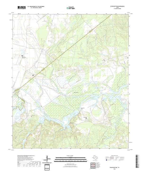 2022 Wyser Bottom2022 Print · USGSCovers Houston County, including Walker County, Madison County, and other nearby areas
 - 2022 Map of Baker Lake, 2022 Print
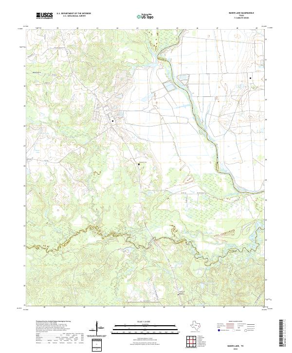 2022 Baker Lake2022 Print · USGSCovers Houston County, including Walker County, Madison County, and other nearby areas
 - 2022 Map of Stanmire Lake, 2022 Print
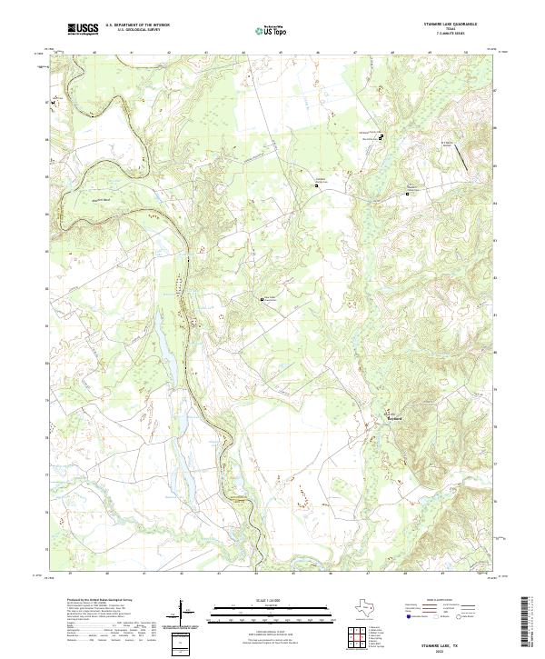 2022 Stanmire Lake2022 Print · USGSCovers Houston County, including Wheeler Springs, Reynard, and other nearby areas
 - 2022 Map of Crockett, 2022 Print
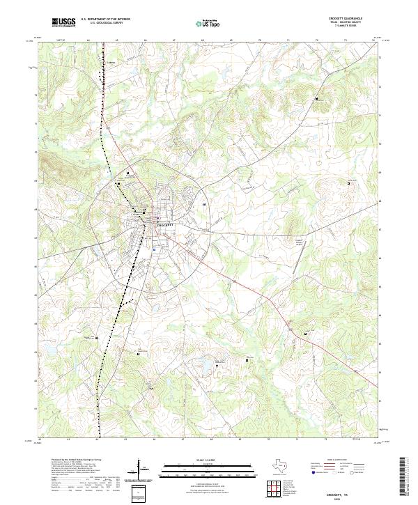 2022 Crockett2022 Print · USGSCovers Houston County, including Crockett, Latexo, and other nearby areas
 - 2022 Map of Elwood, 2022 Print
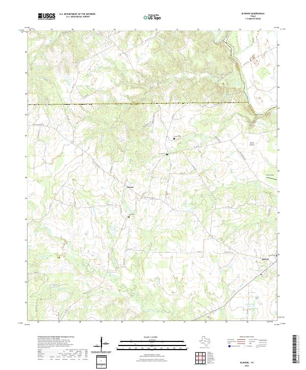 2022 Elwood2022 Print · USGSCovers Houston County, including Midway, Dingerville, and other nearby areas
 - 2022 Map of Ratcliff, 2022 Print
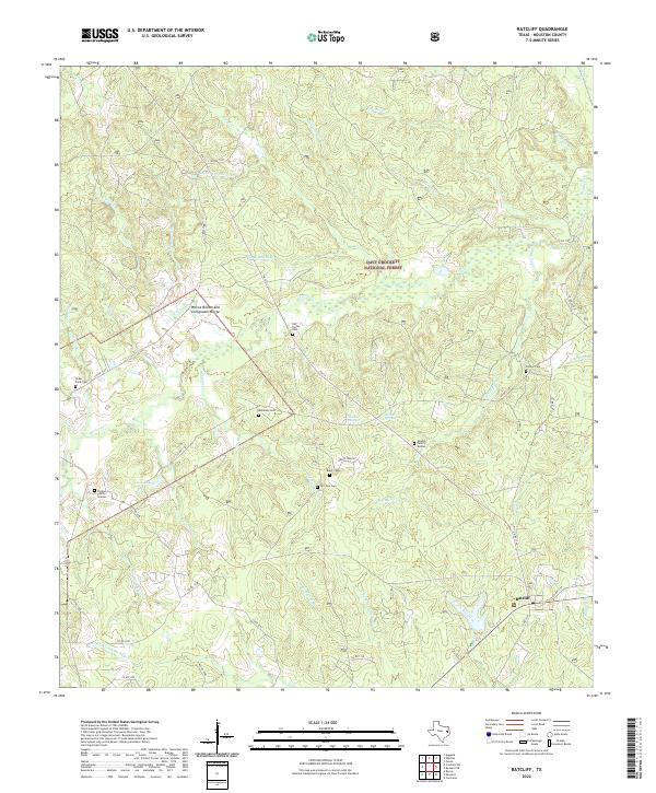 2022 Ratcliff2022 Print · USGSCovers Houston County, including Burrantown, Center Hill, and other nearby areas
 - 2022 Map of Glendale, 2022 Print
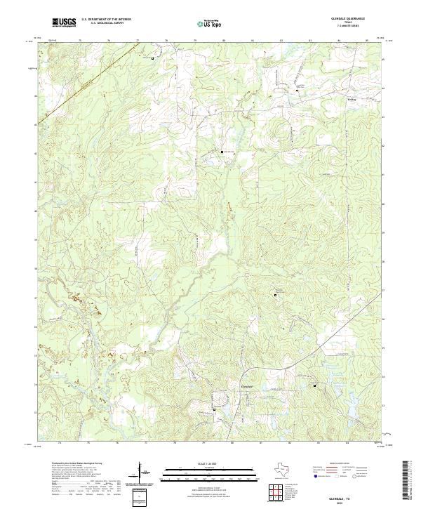 2022 Glendale2022 Print · USGSCovers Houston County, including Glendale, Saron, and other nearby areas
 - 2022 Map of Lovelady North, 2022 Print
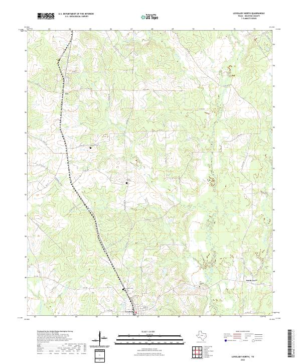 2022 Lovelady North2022 Print · USGSCovers Houston County, including Lovelady, Smith Grove, and other nearby areas
 - 2022 Map of Grapeland, 2022 Print
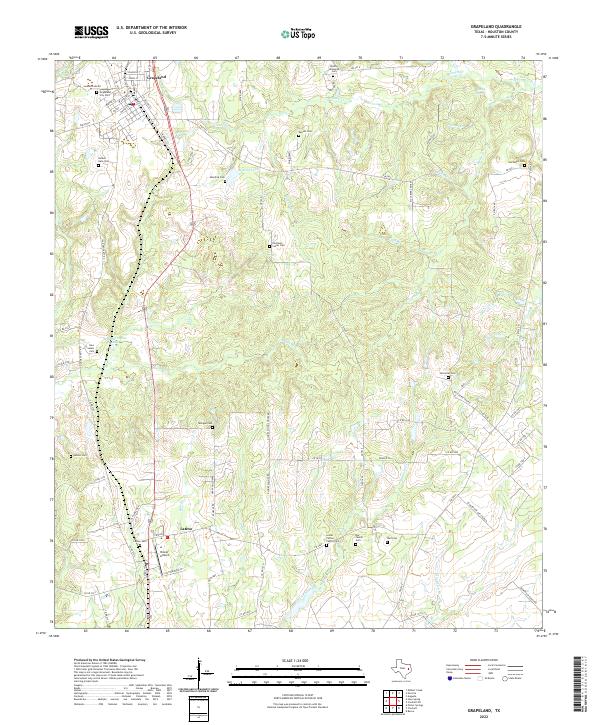 2022 Grapeland2022 Print · USGSCovers Houston County, including Grapeland, Latexo, and other nearby areas
 - 2022 Map of Porter Springs, 2022 Print
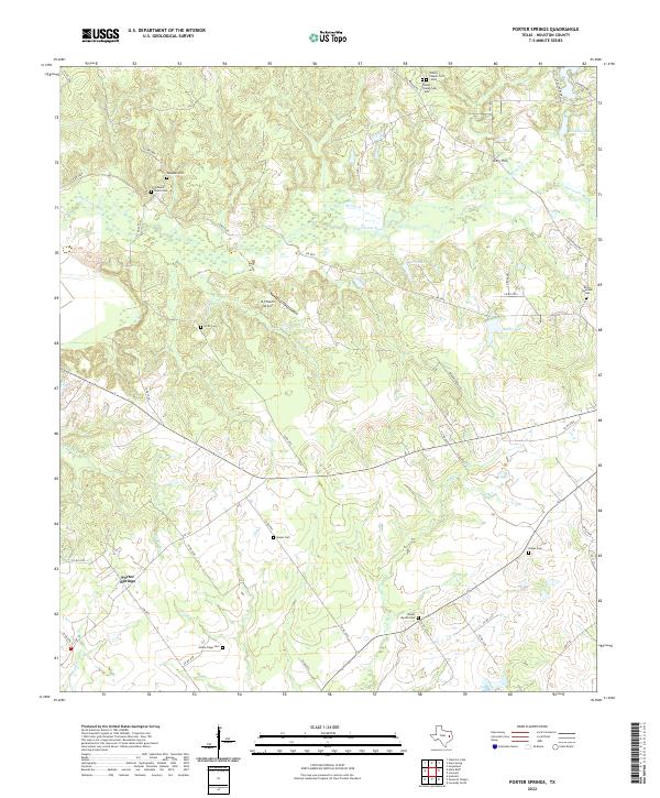 2022 Porter Springs2022 Print · USGSCovers Houston County, including Porter Springs, United States, and other nearby areas
 - 2022 Map of Weches, 2022 Print
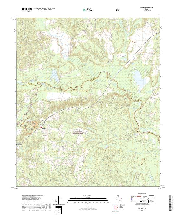 2022 Weches2022 Print · USGSCovers Houston County, including Easley Chapel, Weches, and other nearby areas
 - 2022 Map of Austonio, 2022 Print
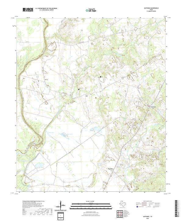 2022 Austonio2022 Print · USGSCovers Houston County, including Mapleton, Austonio, and other nearby areas
 - 2022 Map of Hays Spring, 2022 Print
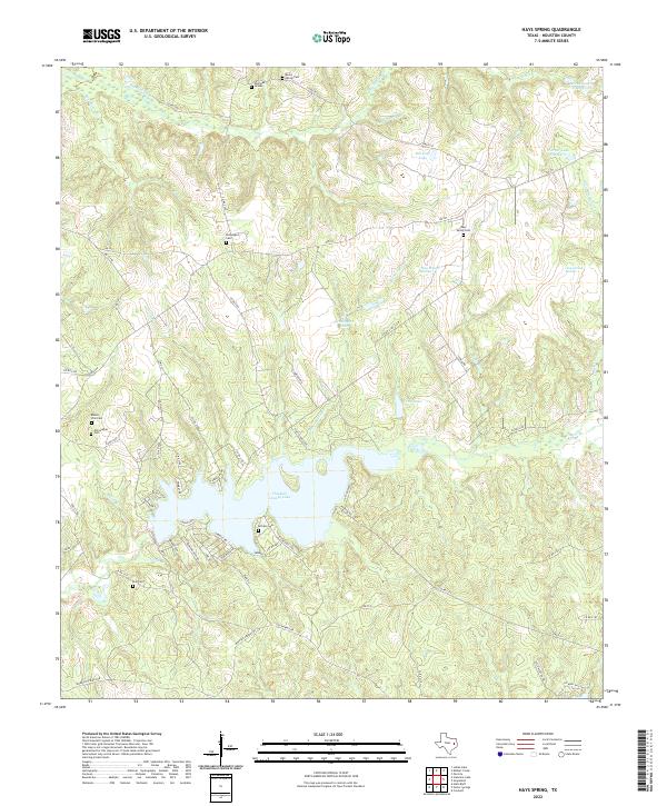 2022 Hays Spring2022 Print · USGSCovers Houston County, including Hays Spring, United States, and other nearby areas
 - 2022 Map of Percilla, 2022 Print
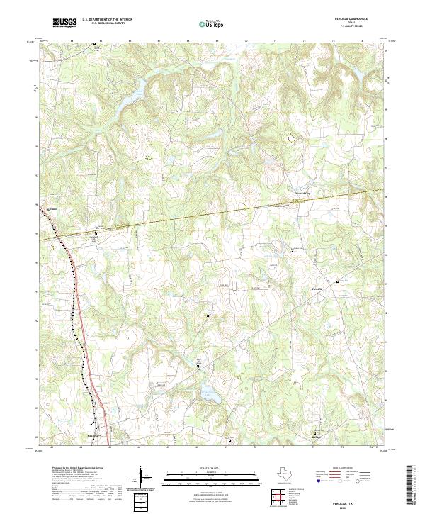 2022 Percilla2022 Print · USGSCovers Houston County, including Grapeland, Refuge, and other nearby areas
 - 2022 Map of Centralia, 2022 Print
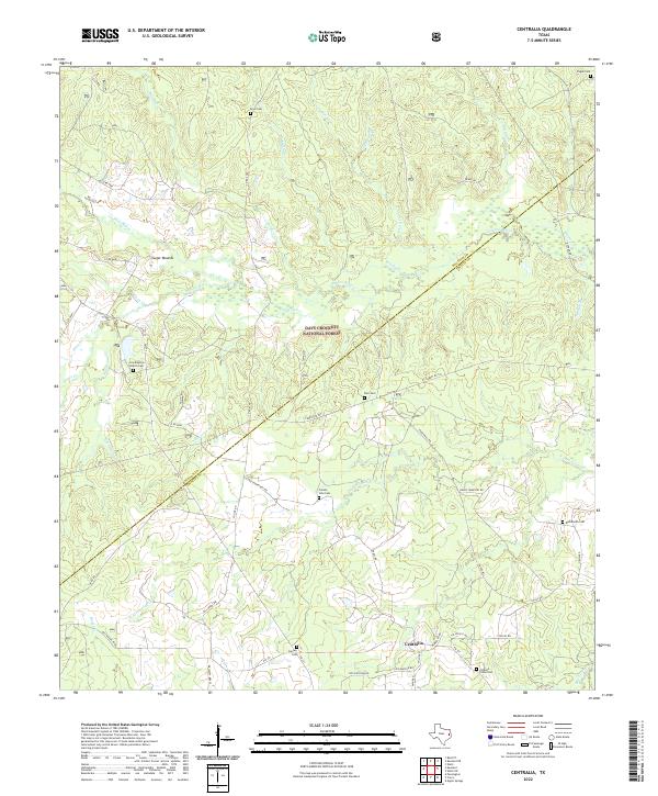 2022 Centralia2022 Print · USGSCovers Houston County, including Stubblefield, Hagerville, and other nearby areas
 - 2022 Map of Lovelady South, 2022 Print
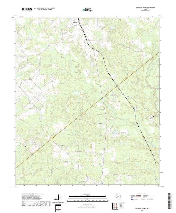 2022 Lovelady South2022 Print · USGSCovers Houston County, including Lovelady, Red Branch, and other nearby areas
 - 2022 Map of Weldon, 2022 Print
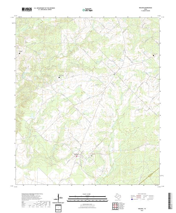 2022 Weldon2022 Print · USGSCovers Houston County, including Sorghumville, Weldon, and other nearby areas
 - 2022 Map of Halls Bluff, 2022 Print
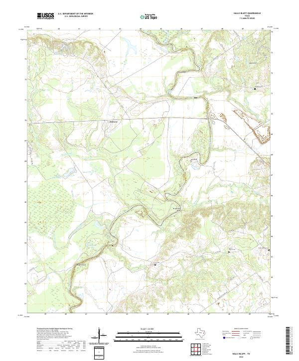 2022 Halls Bluff2022 Print · USGSCovers Houston County, including Malvern, Halls Bluff, and other nearby areas
 - 2022 Map of Forest, 2022 Print
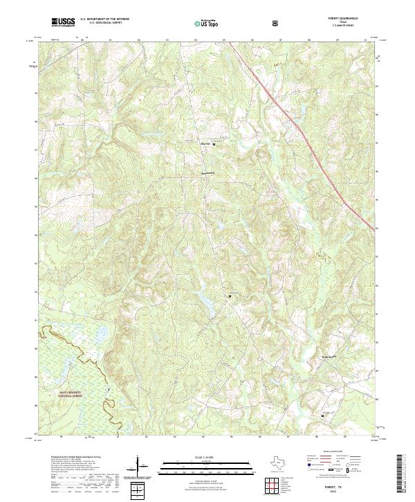 2022 Forest2022 Print · USGSCovers Houston County, including Brunswick, Forest, and other nearby areas
 - 2022 Map of Pennington, 2022 Print
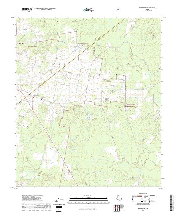 2022 Pennington2022 Print · USGSCovers Houston County, including Pennington, Friendship, and other nearby areas
 - 2022 Map of Berea, 2022 Print
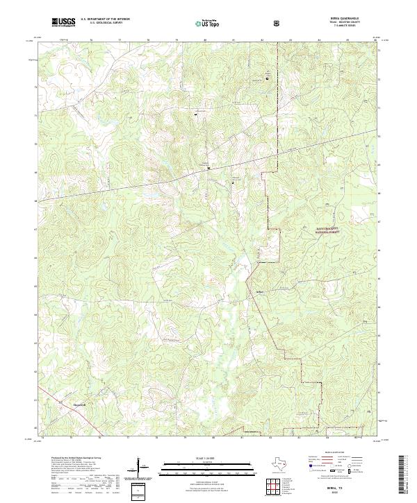 2022 Berea2022 Print · USGSCovers Houston County, including Hopewell, Arbor, and other nearby areas
 - 2022 Map of Middleton, 2022 Print
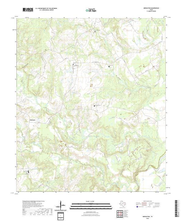 2022 Middleton2022 Print · USGSCovers Houston County, including Guys Store, Spillers Store, and other nearby areas
 - 2022 Map of Elkhart Creek, 2022 Print
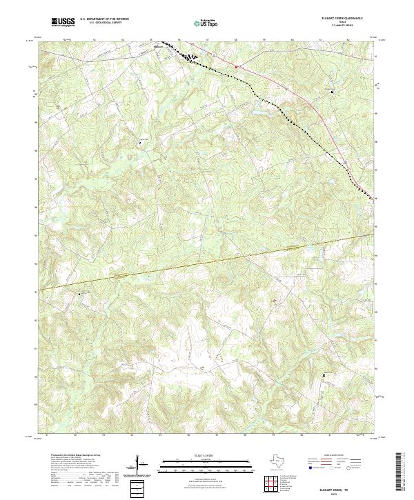 2022 Elkhart Creek2022 Print · USGSCovers Houston County, including Elkhart, Anderson County, and other nearby areas
 - 2022 Map of Pearsons Chapel, 2022 Print
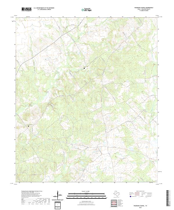 2022 Pearsons Chapel2022 Print · USGSCovers Houston County, including Pearsons Chapel, Cooper, and other nearby areas
 - 2022 Map of Indian Lake, 2022 Print
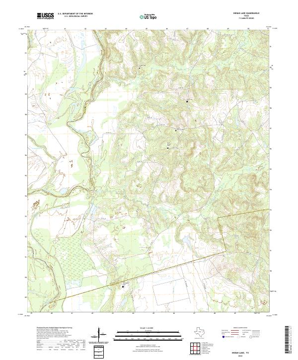 2022 Indian Lake2022 Print · USGSCovers Houston County, including Redtown, Anderson County, and other nearby areas
Showing maps 1-25 of 33
Top cities of Houston County
- Crockett historical maps
- Grapeland historical maps
- Lovelady historical maps
- Kennard historical maps
- Latexo historical maps
- Hickory Creek historical maps
Frequently asked questions
- What are the different types of historical maps available for Houston County?
- What is the oldest map of Houston County?
- Where can I purchase historical maps of Houston County for my home or office?
- Where can I download high-res historical maps of Houston County?
- Are there historical topographic maps available for Houston County?
- Is there historical aerial imagery available for Houston County?
- Where are historical maps of Houston County sourced from?