Old Maps of Berea, Texas for Hiking & Exploration
Hike through history with 11 historic maps of Berea. Explore old trails, ghost towns, and forgotten backroads — perfect for outdoor adventurers and local explorers.
- Rediscover forgotten places: Map out old mining camps, roads, and footpaths that no longer exist on modern maps.
- Layer with modern tools: Combine with LiDAR or satellite views to plan hikes through historical terrain.
- Made for exploration: Popular among hikers, overlanders, and local history lovers.
Use these maps to find adventure and explore the hidden past of Berea.
Berea, TX maps
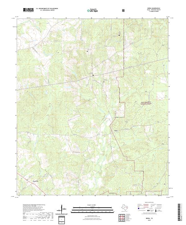
(11)- 1951 Map of Berea
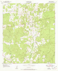 1951 Berea1951 Print · USGSHouston County at the start of the 1950s shows a landscape defined by the timbered ridges of the Davy Crockett National Forest. Genealogists can locate family landmarks like English Cem and rural centers such as Berea and Hopewell.
 - 1953 Map of Palestine, 1964 Print
 1953 Palestine1964 Print · USGSEast Texas was defined by its deep pine forests and burgeoning energy sector in the mid-1950s. Genealogists and historians can trace the rail-and-river economy through settlements like Tennessee Colony and Pollok or explore the early footprints of the Cayuga Oil Field and Davy Crockett National Forest.2 unique versions available
 - 1957 Map of Palestine
 1957 Palestine1957 Print · USGSEast Texas in the mid-fifties reveals a landscape of deep pine forests and winding river valleys before the era of massive reservoir construction. Researchers can trace the legacy of the timber and rail industries through labels for the Missouri Pacific RR, Davy Crockett National Forest, and Nacogdoches.
 - 1984 Map of Palestine
 1984 Palestine1984 Print · USGSEast Texas in the mid-eighties reveals a landscape of massive reservoirs and protected timberlands between Palestine and Nacogdoches. Researchers can trace old routes like the Missouri Pacific RR and locate rural communities such as Tennessee Colony, Latexo, and Etoile.3 unique versions available
 - 1985 Map of Crockett
 1985 Crockett1985 Print · USGSEast Texas timber and river country are captured here during the mid-eighties, showing the region's transition into the modern era. Genealogists and historians can trace the Old San Antonio Road and locate rural landmarks like Hazel Chapel or Weldon Cem.2 unique versions available
 - 2004 Map of Berea, 2006 Print
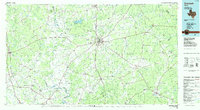
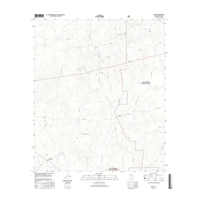
 2004 Berea2006 Print · USGSHouston County at the start of the new millennium remains a landscape of dense timber and quiet rural communities. Genealogists can locate family landmarks like English Cem, Concord Ch, and the small settlement of Arbor.
 - 2011 Map of Berea, 2011 Print
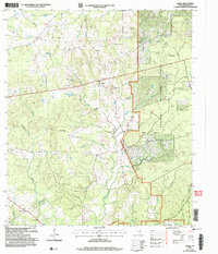
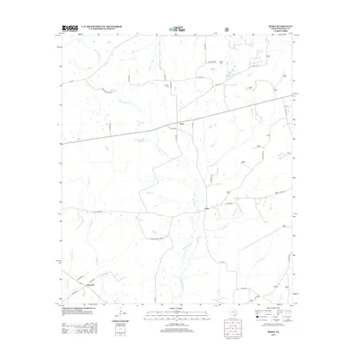
 2011 Berea2011 Print · USGSCovers Berea, including Hopewell, Arbor, and other nearby areas
 - 2013 Map of Berea, 2013 Print
 2013 Berea2013 Print · USGSCovers Berea, including Hopewell, Arbor, and other nearby areas
 - 2016 Map of Berea, 2016 Print
 2016 Berea2016 Print · USGSCovers Berea, including Hopewell, Arbor, and other nearby areas
 - 2019 Map of Berea, 2019 Print
 2019 Berea2019 Print · USGSCovers Berea, including Hopewell, Arbor, and other nearby areas
 - 2022 Map of Berea, 2022 Print
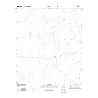
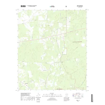
 2022 Berea2022 Print · USGSHouston County at the start of the 2020s remains a landscape of quiet rural communities and deep pine woods. Researchers can trace family history through several local landmarks including Arbor, Hopewell, and the Stantain Thomas Cem.
End of results
Showing maps 1-11 of 11
Top cities near Berea
- Crockett historical maps
- Grapeland historical maps
- Lovelady historical maps
- Kennard historical maps
- Latexo historical maps
- Hickory Creek historical maps
Frequently asked questions
- What are the different types of historical maps available for Berea?
- What is the oldest map of Berea?
- Where can I purchase historical maps of Berea for my home or office?
- Where can I download high-res historical maps of Berea?
- Are there historical topographic maps available for Berea?
- Is there historical aerial imagery available for Berea?
- Where are historical maps of Berea sourced from?