2000s (21st Century) Maps of Berea, Texas
Explore 6 historic maps of Berea from the 2000s (21st Century). These maps offer a rare glimpse into what life looked like during the 2000s — showing old roads, neighborhoods, homes, and landmarks that have changed or disappeared over time.
Whether you're researching your family's past, planning a metal detecting trip, or studying how Berea's landscape evolved across the 2000s, these high-resolution maps are a powerful tool for exploring the history of this region.
- Focus on a specific era: All maps on this page are from the 2000s, giving you a focused view of this time period.
- See what’s changed: Compare century-old streets, trails, and buildings to today's modern landscape using overlays and satellite layers.
- Research with precision: Use these maps for genealogy, historical research, land use analysis, or educational projects.
- View, download, or print: Maps are fully viewable online in high resolution, and can be downloaded or printed for your own records.
Start exploring Berea's history through authentic maps from the 2000s. This is your window into the past.
Berea, TX maps
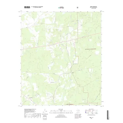
(6)- 2004 Map of Berea, 2006 Print
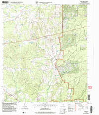 2004 Berea2006 Print · USGSHouston County at the start of the new millennium remains a landscape of dense timber and quiet rural communities. Genealogists can locate family landmarks like English Cem, Concord Ch, and the small settlement of Arbor.
 - 2011 Map of Berea, 2011 Print
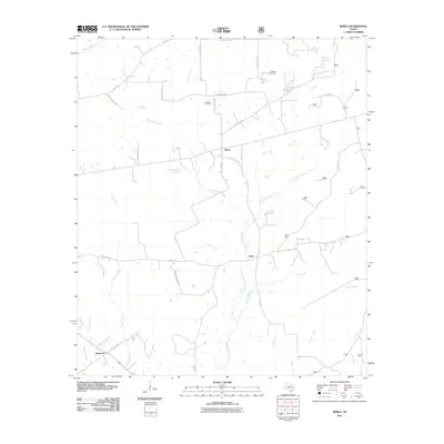 2011 Berea2011 Print · USGSCovers Berea, including Hopewell, Arbor, and other nearby areas
 - 2013 Map of Berea, 2013 Print
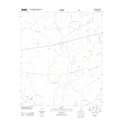 2013 Berea2013 Print · USGSCovers Berea, including Hopewell, Arbor, and other nearby areas
 - 2016 Map of Berea, 2016 Print
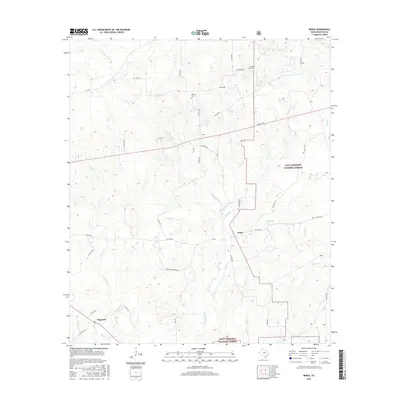 2016 Berea2016 Print · USGSCovers Berea, including Hopewell, Arbor, and other nearby areas
 - 2019 Map of Berea, 2019 Print
 2019 Berea2019 Print · USGSCovers Berea, including Hopewell, Arbor, and other nearby areas
 - 2022 Map of Berea, 2022 Print
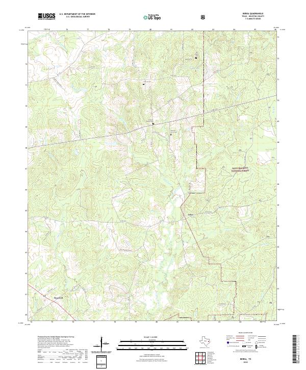 2022 Berea2022 Print · USGSHouston County at the start of the 2020s remains a landscape of quiet rural communities and deep pine woods. Researchers can trace family history through several local landmarks including Arbor, Hopewell, and the Stantain Thomas Cem.
End of results
Showing maps 1-6 of 6
Top cities near Berea
- Crockett historical maps
- Grapeland historical maps
- Lovelady historical maps
- Kennard historical maps
- Latexo historical maps
- Hickory Creek historical maps
Frequently asked questions
- What are the different types of historical maps available for Berea?
- What is the oldest map of Berea?
- Where can I purchase historical maps of Berea for my home or office?
- Where can I download high-res historical maps of Berea?
- Are there historical topographic maps available for Berea?
- Is there historical aerial imagery available for Berea?
- Where are historical maps of Berea sourced from?