2000s (21st Century) Maps of Harrison Town, Texas
Explore 6 historic maps of Harrison Town from the 2000s (21st Century). These maps offer a rare glimpse into what life looked like during the 2000s — showing old roads, neighborhoods, homes, and landmarks that have changed or disappeared over time.
Whether you're researching your family's past, planning a metal detecting trip, or studying how Harrison Town's landscape evolved across the 2000s, these high-resolution maps are a powerful tool for exploring the history of this region.
- Focus on a specific era: All maps on this page are from the 2000s, giving you a focused view of this time period.
- See what’s changed: Compare century-old streets, trails, and buildings to today's modern landscape using overlays and satellite layers.
- Research with precision: Use these maps for genealogy, historical research, land use analysis, or educational projects.
- View, download, or print: Maps are fully viewable online in high resolution, and can be downloaded or printed for your own records.
Start exploring Harrison Town's history through authentic maps from the 2000s. This is your window into the past.
Harrison Town, TX maps
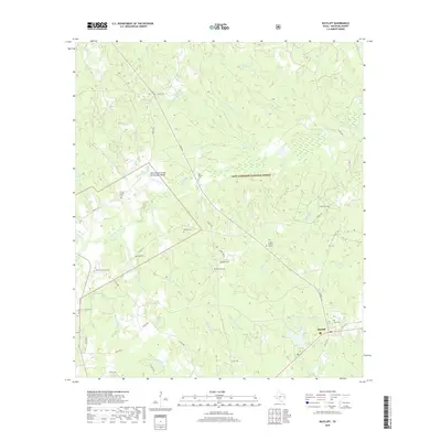
(6)- 2004 Map of Ratcliff, 2006 Print
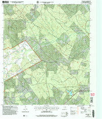 2004 Ratcliff2006 Print · USGSDeep within the East Texas Piney Woods during the early 2000s, this area shows a landscape shaped by forestry and small timber-belt settlements. Genealogists and historians can locate family landmarks such as Old Zion Cem, Bethel Ch, and the logging-era heritage near Ratcliff.
 - 2011 Map of Ratcliff, 2011 Print
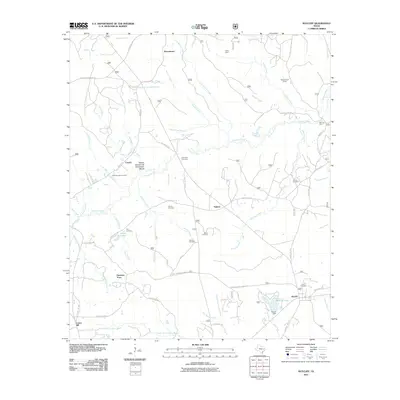 2011 Ratcliff2011 Print · USGSCovers Harrison Town, including Ratcliff, Tadmor, and other nearby areas
 - 2013 Map of Ratcliff, 2013 Print
 2013 Ratcliff2013 Print · USGSCovers Harrison Town, including Ratcliff, Tadmor, and other nearby areas
 - 2016 Map of Ratcliff, 2016 Print
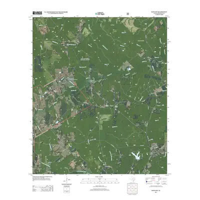
 2016 Ratcliff2016 Print · USGSCovers Harrison Town, including Ratcliff, Tadmor, and other nearby areas
 - 2019 Map of Ratcliff, 2019 Print
 2019 Ratcliff2019 Print · USGSCovers Harrison Town, including Ratcliff, Tadmor, and other nearby areas
 - 2022 Map of Ratcliff, 2022 Print
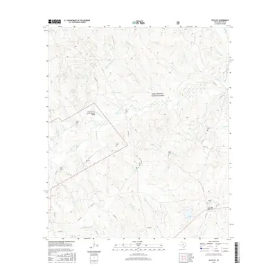
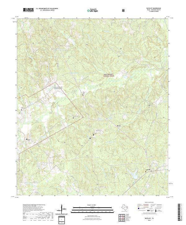 2022 Ratcliff2022 Print · USGSHouston County's piney woods appear in great detail during the early twenty-first century, centering on the community of Ratcliff. Genealogists can locate numerous secluded burial sites including Old Patton Cem, McKelvey Cem, and the Vaughn Family Graves.
End of results
Showing maps 1-6 of 6
Top cities near Harrison Town
Frequently asked questions
- What are the different types of historical maps available for Harrison Town?
- What is the oldest map of Harrison Town?
- Where can I purchase historical maps of Harrison Town for my home or office?
- Where can I download high-res historical maps of Harrison Town?
- Are there historical topographic maps available for Harrison Town?
- Is there historical aerial imagery available for Harrison Town?
- Where are historical maps of Harrison Town sourced from?