Old Maps of Stardust, Big Spring for Academic Research
Study the evolution of Stardust with 11 high-resolution historic maps. Whether you're teaching, researching, or modeling changes in land use, these maps provide essential visual documentation of urban, environmental, and geographic change.
- Analyze long-term change: Track patterns in development, transportation, and natural features.
- Ideal for environmental or urban studies: Support academic projects with primary historical map data.
- Use in the classroom or lab: Educators and researchers rely on these maps to bring historical context to life.
These maps are a powerful tool for teaching, research, and visualizing how Stardust has changed over the decades.
Stardust, Big Spring maps
(11)- 1941 Map of Morita
 1941 Morita1941 Print · USGSRanching life and rail transport define this Howard County landscape just before the war. Trace early schools and family holdings like Sandwell Sch, Morita, and Quinn Ranch along the route of the Texas and Pacific railroad.
 - 1949 Map of Morita
 1949 Morita1949 Print · USGSHoward and Martin Counties in the late 1930s show a landscape of sprawling family ranches and essential rail stops. Genealogists can locate named homesteads like McDowell Ranch and Cross Ranch, or trace the rural students of Sandwell Sch.
 - 1954 Map of Big Spring, 1965 Print
 1954 Big Spring1965 Print · USGSWest Texas in the mid-1950s shows a landscape of growing oil towns and vital rail links along the Texas and Pacific RR. Researchers can trace the development of Big Spring, find smaller settlements like Knott and Lomax, or locate landmarks such as Boyds Chapel and Signal Mountain.4 unique versions available
 - 1958 Map of Big Spring
 1958 Big Spring1958 Print · USGSThe West Texas oil boom was in full swing during the late fifties, transforming the landscape around Howard and Mitchell counties. Genealogists and historians can trace the growth of Big Spring and Snyder alongside industrial landmarks like the Kelly-Snyder Oil Field and the Santa Fe rail lines.
 - 1966 Map of Elbow, 1968 Print
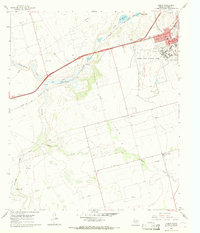 1966 Elbow1968 Print · USGSThe West Texas landscape of Howard County comes alive in the 1960s, centering on the massive operations at Webb Air Force Base. Researchers can trace the military housing at Webb Village, the rural school at Forsan Jr. High Sch, and local entertainment at the Drive-in Theater.
 - 1986 Map of Big Spring
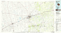 1986 Big Spring1986 Print · USGSWest Texas in the mid-eighties was a landscape defined by the deep roots of the petroleum industry and the path of the railroad. You can trace the expansive Snyder Oil Field, follow the Missouri Pacific line, or locate rural centers like Coahoma and Knott.2 unique versions available
 - 2010 Map of Elbow, 2010 Print
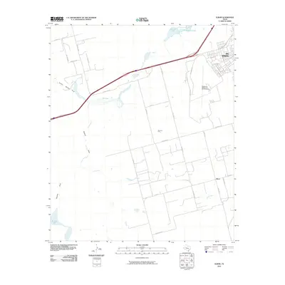 2010 Elbow2010 Print · USGSBig Spring and the surrounding Howard County plains are captured here during a period of modern industrial and energy growth. Local historians and genealogists can trace the rural community of Elbow, find the Elbow School, and locate the Moore Oil Field.
 - 2012 Map of Elbow, 2012 Print
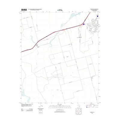 2012 Elbow2012 Print · USGSHoward County's high plains transition from aviation and education hubs to active oil fields in the early 2010s. Researchers can trace local infrastructure from the Big Spring Mc Mahon-Wrinkle Airport south to the settlement of Elbow and the Moore Oil Field.
 - 2016 Map of Elbow, 2016 Print
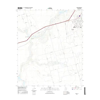 2016 Elbow2016 Print · USGSBig Spring and the surrounding Howard County plains are documented here in the mid-2010s, showing a landscape of rural ranching and aviation. Genealogists and local historians can trace modern property boundaries along Cauble Rd or locate the community of Elbow near Elbow Cr.
 - 2019 Map of Elbow, 2019 Print
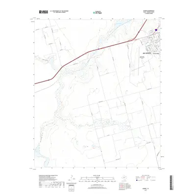 2019 Elbow2019 Print · USGSBig Spring and the surrounding Howard County plains are captured here in the late twenty-teens as the city expanded westward. Genealogists and local historians can trace the development of Webb Village and locate landmarks like Big Spring Mc Mahon-Wrinkle Airport and Roberts Lake.
 - 2022 Map of Elbow, 2022 Print
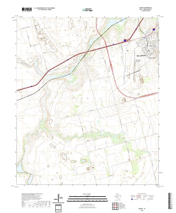 2022 Elbow2022 Print · USGSThe outskirts of Howard County come into focus in 2022, showing the western expansion of Big Spring and its surrounding ranchlands. Researchers can trace the development of the Mc Mahon-Wrinkle Airport and local landmarks like Webb Village.
End of results
Showing maps 1-11 of 11
Frequently asked questions
- What are the different types of historical maps available for Stardust?
- What is the oldest map of Stardust?
- Where can I purchase historical maps of Stardust for my home or office?
- Where can I download high-res historical maps of Stardust?
- Are there historical topographic maps available for Stardust?
- Is there historical aerial imagery available for Stardust?
- Where are historical maps of Stardust sourced from?