Old Maps of Luther, Texas for Hiking & Exploration
Hike through history with 11 historic maps of Luther. Explore old trails, ghost towns, and forgotten backroads — perfect for outdoor adventurers and local explorers.
- Rediscover forgotten places: Map out old mining camps, roads, and footpaths that no longer exist on modern maps.
- Layer with modern tools: Combine with LiDAR or satellite views to plan hikes through historical terrain.
- Made for exploration: Popular among hikers, overlanders, and local history lovers.
Use these maps to find adventure and explore the hidden past of Luther.
Luther, TX maps
(11)- 1942 Map of Big Spring North
 1942 Big Spring North1942 Print · USGSHoward County, Texas, was a bustling hub of rail and petroleum activity in the early 1940s. Genealogists and historians can trace old school districts and rural landmarks like Planters Gin, Lauderdale Store, and the Morris Sch across the West Texas plains.
 - 1954 Map of Big Spring, 1965 Print
 1954 Big Spring1965 Print · USGSWest Texas in the mid-1950s shows a landscape of growing oil towns and vital rail links along the Texas and Pacific RR. Researchers can trace the development of Big Spring, find smaller settlements like Knott and Lomax, or locate landmarks such as Boyds Chapel and Signal Mountain.4 unique versions available
 - 1958 Map of Big Spring
 1958 Big Spring1958 Print · USGSThe West Texas oil boom was in full swing during the late fifties, transforming the landscape around Howard and Mitchell counties. Genealogists and historians can trace the growth of Big Spring and Snyder alongside industrial landmarks like the Kelly-Snyder Oil Field and the Santa Fe rail lines.
 - 1971 Map of Luther, 1973 Print
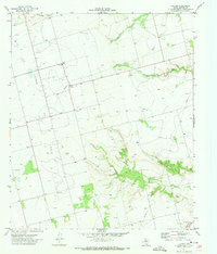 1971 Luther1973 Print · USGSHoward County in the early seventies is a landscape shaped by petroleum and water management. Genealogists and historians can trace the rural community at Luther, the Gay Hill Sch, and the winding banks of Wildhorse Creek.
 - 1971 Map of Big Spring North, 1974 Print
 1971 Big Spring North1974 Print · USGSHoward County's rail and ranching landscape comes alive in the late thirties, centered on the growing industrial hub of Big Spring. Genealogists can trace family footprints through rural districts like Luther and Sand Springs, or locate old landmarks like Bethel Ch and the Richland Sch.
 - 1986 Map of Big Spring
 1986 Big Spring1986 Print · USGSWest Texas in the mid-eighties was a landscape defined by the deep roots of the petroleum industry and the path of the railroad. You can trace the expansive Snyder Oil Field, follow the Missouri Pacific line, or locate rural centers like Coahoma and Knott.2 unique versions available
 - 2010 Map of Luther, 2010 Print
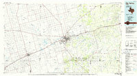
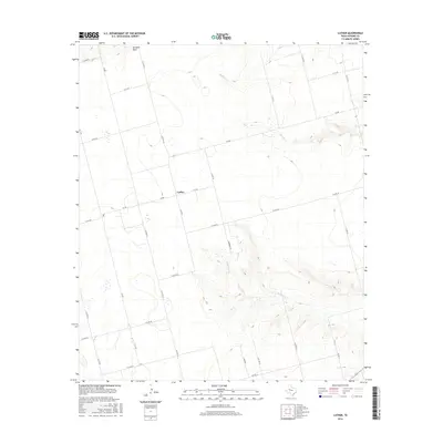
 2010 Luther2010 Print · USGSCovers Luther, including Howard County, United States, and other nearby areas
 - 2012 Map of Luther, 2012 Print
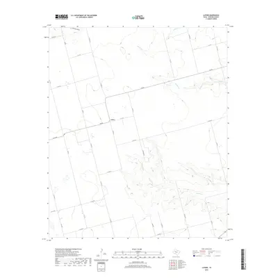
 2012 Luther2012 Print · USGSCovers Luther, including Howard County, United States, and other nearby areas
 - 2016 Map of Luther, 2016 Print
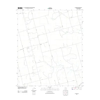
 2016 Luther2016 Print · USGSCovers Luther, including Howard County, United States, and other nearby areas
 - 2019 Map of Luther, 2019 Print
 2019 Luther2019 Print · USGSCovers Luther, including Howard County, United States, and other nearby areas
 - 2022 Map of Luther, 2022 Print
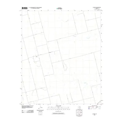
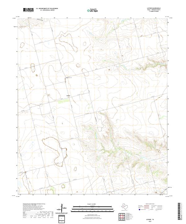 2022 Luther2022 Print · USGSThe community of Luther is captured here in the early 2020s, showing a West Texas landscape defined by rural ranch roads and wide draws. Genealogists and local researchers can pinpoint the Luther Cem and trace the paths of Morgan Cr and Wildcat Cr.
End of results
Showing maps 1-11 of 11
Top cities near Luther
Frequently asked questions
- What are the different types of historical maps available for Luther?
- What is the oldest map of Luther?
- Where can I purchase historical maps of Luther for my home or office?
- Where can I download high-res historical maps of Luther?
- Are there historical topographic maps available for Luther?
- Is there historical aerial imagery available for Luther?
- Where are historical maps of Luther sourced from?