Old Maps of Cornudas, Texas for Genealogy
Trace your family roots with 10 historic maps of Cornudas. These high-res maps reveal old neighborhoods, homesites, landmarks, and streets — helping you uncover where your ancestors lived and how the area evolved over time.
- Explore historic neighborhoods: Identify where your relatives may have lived in the 1800s or 1900s.
- Compare maps over time: Trace the changes in streets, buildings, and landmarks for multi-generational research.
- Perfect for genealogy & ancestry research: Used by family historians and researchers to map out lineage and migration.
These maps are an incredible resource for exploring your personal connection to Cornudas's past.
Cornudas, TX maps
(10)- 1954 Map of Van Horn, 1964 Print
 1954 Van Horn1964 Print · USGSThe Trans-Pecos region of West Texas comes into focus in the mid-1950s as a vital corridor of rail and desert commerce. Researchers can trace the path of the Texas and Pacific through Van Horn or locate remote rail sidings like Borracho and Laska Siding.2 unique versions available
 - 1955 Map of Cerro Diablo, 1956 Print
 1955 Cerro Diablo1956 Print · USGSThe Trans-Pecos ranching landscape of the mid-1950s is frozen in time across this Hudspeth County borderland. Genealogists and historians can trace family operations like Mayfield Ranch and Schnaubert Ranch alongside landmarks like Cerro Diablo.
 - 1958 Map of Van Horn
 1958 Van Horn1958 Print · USGSWest Texas ranching and rail history come alive in this 1950s survey of the Trans-Pecos desert during the era of major steam-to-diesel transition. Genealogists and historians can trace family-named outposts like Mayfield Ranch or locate the ruins of Presidio Viejo along the Rio Grande.
 - 1984 Map of Cornudas, 1985 Print
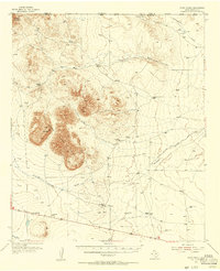
 1984 Cornudas1985 Print · USGSHudspeth County ranching and mountain terrain are captured here in the mid-1980s, before modern desert expansion. Trace local landmarks like the Cornudas settlement, the heights of Miller Mountain, and the landing infrastructure at the Landing Strip.
 - 1985 Map of Dell City
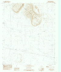
 1985 Dell City1985 Print · USGSThe northern Chihuahuan Desert in the mid-1980s reveals a landscape of isolated farming hubs and vast salt basins. Genealogists and researchers can trace the roads and water tanks around Dell City, the remote outpost at Salt Flat, and the rugged slopes of the Sierra Diablo.2 unique versions available
 - 2010 Map of Cornudas, 2010 Print
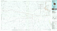
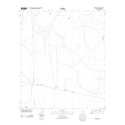
 2010 Cornudas2010 Print · USGSCovers Cornudas, including Hudspeth County, United States, and other nearby areas
 - 2012 Map of Cornudas, 2012 Print
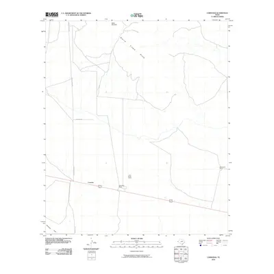
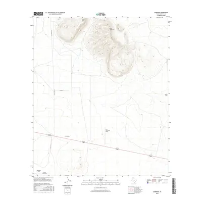
 2012 Cornudas2012 Print · USGSCovers Cornudas, including Hudspeth County, United States, and other nearby areas
 - 2016 Map of Cornudas, 2016 Print
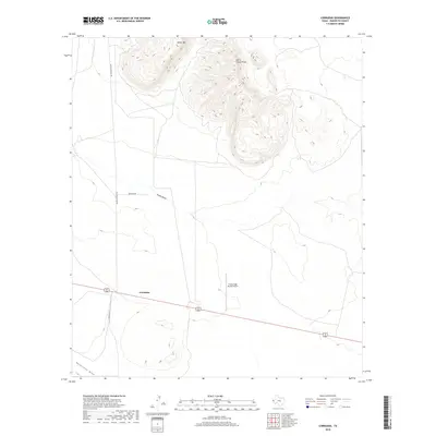
 2016 Cornudas2016 Print · USGSCovers Cornudas, including Hudspeth County, United States, and other nearby areas
 - 2019 Map of Cornudas, 2019 Print
 2019 Cornudas2019 Print · USGSCovers Cornudas, including Hudspeth County, United States, and other nearby areas
 - 2022 Map of Cornudas, 2022 Print
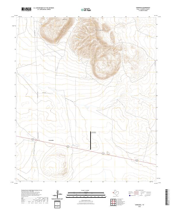 2022 Cornudas2022 Print · USGSHudspeth County ranching country and the peaks of the northern Trans-Pecos are captured here in the early twenty-first century. Researchers can trace land holdings and water features near Cornudas, the Flying Eagle Ranch Airport, and the slopes of Miller Mtn.
End of results
Showing maps 1-10 of 10
Frequently asked questions
- What are the different types of historical maps available for Cornudas?
- What is the oldest map of Cornudas?
- Where can I purchase historical maps of Cornudas for my home or office?
- Where can I download high-res historical maps of Cornudas?
- Are there historical topographic maps available for Cornudas?
- Is there historical aerial imagery available for Cornudas?
- Where are historical maps of Cornudas sourced from?