Old Maps of Eagle Flat, Texas for Hiking & Exploration
Hike through history with 10 historic maps of Eagle Flat. Explore old trails, ghost towns, and forgotten backroads — perfect for outdoor adventurers and local explorers.
- Rediscover forgotten places: Map out old mining camps, roads, and footpaths that no longer exist on modern maps.
- Layer with modern tools: Combine with LiDAR or satellite views to plan hikes through historical terrain.
- Made for exploration: Popular among hikers, overlanders, and local history lovers.
Use these maps to find adventure and explore the hidden past of Eagle Flat.
Eagle Flat, TX maps
(10)- 1895 Map of Sierra Blanca
 1895 Sierra Blanca1895 Print · USGSThe Trans-Pecos rail junction at the end of the nineteenth century comes into focus on this sheet. Historians can trace early settlement patterns at Sierra Blanca and follow the routes of the Texas and Pacific Railroad and Southern Pacific Company.5 unique versions available
 - 1954 Map of Van Horn, 1964 Print
 1954 Van Horn1964 Print · USGSThe Trans-Pecos region of West Texas comes into focus in the mid-1950s as a vital corridor of rail and desert commerce. Researchers can trace the path of the Texas and Pacific through Van Horn or locate remote rail sidings like Borracho and Laska Siding.2 unique versions available
 - 1958 Map of Van Horn
 1958 Van Horn1958 Print · USGSWest Texas ranching and rail history come alive in this 1950s survey of the Trans-Pecos desert during the era of major steam-to-diesel transition. Genealogists and historians can trace family-named outposts like Mayfield Ranch or locate the ruins of Presidio Viejo along the Rio Grande.
 - 1963 Map of Grayton Lake, 1967 Print
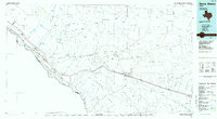
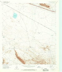 1963 Grayton Lake1967 Print · USGSHigh-desert ranching and rail history converge in 1960s Hudspeth County near the Old Spanish Trail. Researchers can trace the isolated Isbell Ranch, the mysterious Streetcar Camp, and parallel rail lines serving Eagle Flat.
 - 1985 Map of Sierra Blanca
 1985 Sierra Blanca1985 Print · USGSThe Trans-Pecos desert during the mid-eighties shows a landscape of mountain ranges and critical international border crossings. Trace the old river settlements of Fort Hancock and Mc Nary, find the historic Fort Quitman (Site), or follow the legacy of the Southern Pacific railroad.2 unique versions available
 - 2010 Map of Grayton Lake, 2010 Print
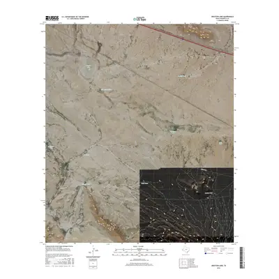
 2010 Grayton Lake2010 Print · USGSCovers Eagle Flat, including Hudspeth County, United States, and other nearby areas
 - 2013 Map of Grayton Lake, 2013 Print
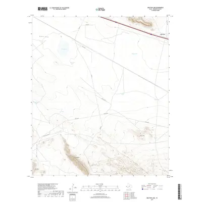
 2013 Grayton Lake2013 Print · USGSCovers Eagle Flat, including Hudspeth County, United States, and other nearby areas
 - 2016 Map of Grayton Lake, 2016 Print
 2016 Grayton Lake2016 Print · USGSCovers Eagle Flat, including Hudspeth County, United States, and other nearby areas
 - 2019 Map of Grayton Lake, 2019 Print
 2019 Grayton Lake2019 Print · USGSCovers Eagle Flat, including Hudspeth County, United States, and other nearby areas
 - 2022 Map of Grayton Lake, 2022 Print
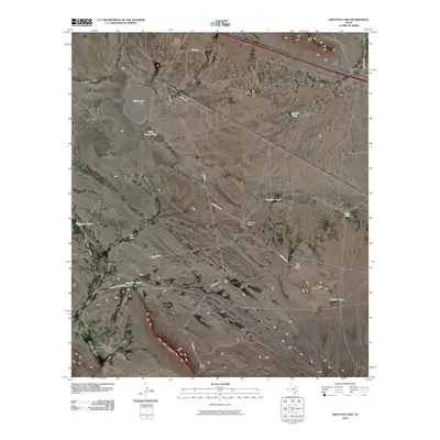
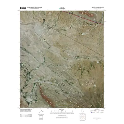
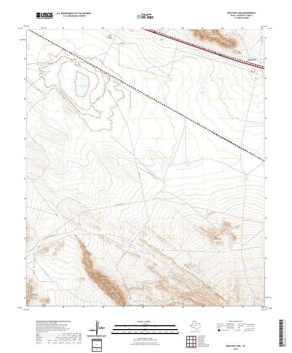 2022 Grayton Lake2022 Print · USGSThe Hudspeth County desert landscape of 2022 centers on the ephemeral Grayton Lake and its surrounding ranchlands. Genealogists and historians can trace the local water-management geography through sites like Malo Suerte Tank and Love Hogback.
End of results
Showing maps 1-10 of 10
Top cities near Eagle Flat
Frequently asked questions
- What are the different types of historical maps available for Eagle Flat?
- What is the oldest map of Eagle Flat?
- Where can I purchase historical maps of Eagle Flat for my home or office?
- Where can I download high-res historical maps of Eagle Flat?
- Are there historical topographic maps available for Eagle Flat?
- Is there historical aerial imagery available for Eagle Flat?
- Where are historical maps of Eagle Flat sourced from?