Old Maps of Loma Linda Estates Colonia, Texas
Explore 12 old maps of Loma Linda Estates Colonia, spanning from 1903 to today. These high-resolution historic maps reveal how streets, neighborhoods, landmarks, and natural features evolved over time — perfect for genealogy, metal detecting, research, and local history exploration.
What you can do with these maps:
- See how Loma Linda Estates Colonia changed over time: Compare historical maps to modern-day views to trace roads, homesites, rail lines & more.
- View detailed metadata: Each map includes creators, publishers, year, scale, and archive source.
- Overlay maps with satellite & LiDAR: Visualize the past alongside modern tools to explore terrain & human change.
- Trusted historical sources: Maps sourced from the USGS, Library of Congress, and other archives.
- Access maps your way: View online, download high-res files, or order prints for personal or research use.
Start exploring old maps of Loma Linda Estates Colonia to uncover forgotten places, hidden landmarks, and the deep history beneath your feet.
Loma Linda Estates Colonia, TX maps
(12)- 1903 Map of Cerro Alto, 1929 Print
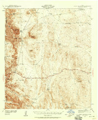
 1903 Cerro Alto1929 Print · USGSThe high desert of West Texas and the New Mexico border come alive in this turn-of-the-century survey. Trace early cattle-country water sources like Sparrow Tanks and Coyote Tanks or the peaks of the Hueco Mountains.
 - 1941 Map of Heuco Mountains, 1958 Print
 1941 Heuco Mountains1958 Print · USGSThe rugged Hueco Mountains of West Texas are captured here in the early 1940s, showing a landscape defined by ranching and historic travel routes. Trace the historic Butterfield Trail and locate family landmarks like Helms Ranch and Hueco Inn.2 unique versions available
 - 1943 Map of Heuco Mountains
 1943 Heuco Mountains1943 Print · USGSHudspeth County ranching and desert travel come into focus in the early 1940s as modern highways began to parallel historic wagon routes. Researchers can locate remote family sites like Helms Ranch and Helm Cem or trace the path of the Butterfield Road.
 - 1954 Map of Van Horn, 1964 Print
 1954 Van Horn1964 Print · USGSThe Trans-Pecos region of West Texas comes into focus in the mid-1950s as a vital corridor of rail and desert commerce. Researchers can trace the path of the Texas and Pacific through Van Horn or locate remote rail sidings like Borracho and Laska Siding.2 unique versions available
 - 1958 Map of Van Horn
 1958 Van Horn1958 Print · USGSWest Texas ranching and rail history come alive in this 1950s survey of the Trans-Pecos desert during the era of major steam-to-diesel transition. Genealogists and historians can trace family-named outposts like Mayfield Ranch or locate the ruins of Presidio Viejo along the Rio Grande.
 - 1979 Map of Phone Line Canyon
 1979 Phone Line Canyon1979 Print · USGSThe Hueco Mountains of West Texas are captured here in the late seventies, showing a landscape defined by deep canyons and critical desert water tanks. Researchers can trace ranching and utility roots through labels like Phone Line Tank, Dagger Camp, and Powwow Canyon.2 unique versions available
 - 1985 Map of Dell City
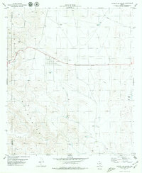
 1985 Dell City1985 Print · USGSThe northern Chihuahuan Desert in the mid-1980s reveals a landscape of isolated farming hubs and vast salt basins. Genealogists and researchers can trace the roads and water tanks around Dell City, the remote outpost at Salt Flat, and the rugged slopes of the Sierra Diablo.2 unique versions available
 - 2010 Map of Phone Line Canyon, 2010 Print
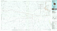
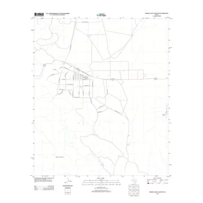
 2010 Phone Line Canyon2010 Print · USGSCovers Loma Linda Estates Colonia, including El Paso County, Hudspeth County, and other nearby areas
 - 2013 Map of Phone Line Canyon, 2013 Print
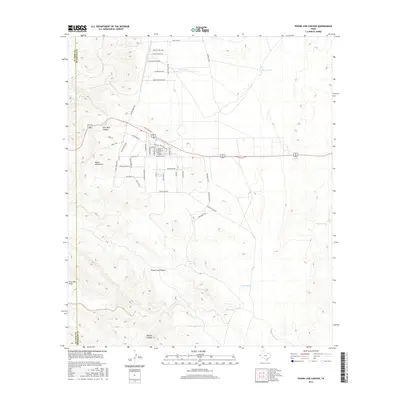
 2013 Phone Line Canyon2013 Print · USGSCovers Loma Linda Estates Colonia, including El Paso County, Hudspeth County, and other nearby areas
 - 2016 Map of Phone Line Canyon, 2016 Print
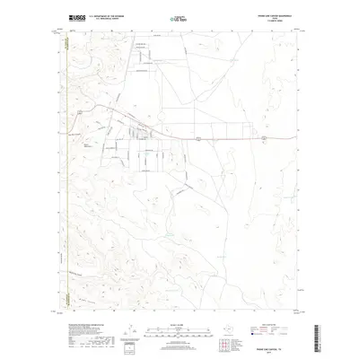
 2016 Phone Line Canyon2016 Print · USGSCovers Loma Linda Estates Colonia, including El Paso County, Hudspeth County, and other nearby areas
 - 2019 Map of Phone Line Canyon, 2019 Print
 2019 Phone Line Canyon2019 Print · USGSCovers Loma Linda Estates Colonia, including El Paso County, Hudspeth County, and other nearby areas
 - 2022 Map of Phone Line Canyon, 2022 Print
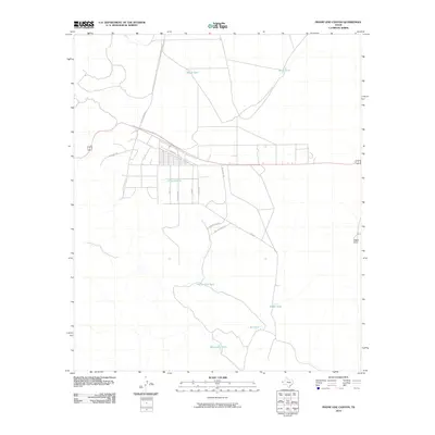
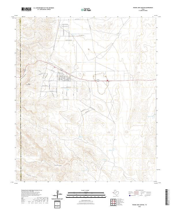 2022 Phone Line Canyon2022 Print · USGSThe Hudspeth County desert landscape is captured here in the early twenty-first century, showing the expansion of residential street grids into the ranchlands. Trace the local topography through Phone Line Canyon and locate landmarks like Sheep Tank and Monument Tank.
End of results
Showing maps 1-12 of 12
Top cities near Loma Linda Estates Colonia
Frequently asked questions
- What are the different types of historical maps available for Loma Linda Estates Colonia?
- What is the oldest map of Loma Linda Estates Colonia?
- Where can I purchase historical maps of Loma Linda Estates Colonia for my home or office?
- Where can I download high-res historical maps of Loma Linda Estates Colonia?
- Are there historical topographic maps available for Loma Linda Estates Colonia?
- Is there historical aerial imagery available for Loma Linda Estates Colonia?
- Where are historical maps of Loma Linda Estates Colonia sourced from?