Old Maps of Bryson, Texas for Academic Research
Study the evolution of Bryson with 9 high-resolution historic maps. Whether you're teaching, researching, or modeling changes in land use, these maps provide essential visual documentation of urban, environmental, and geographic change.
- Analyze long-term change: Track patterns in development, transportation, and natural features.
- Ideal for environmental or urban studies: Support academic projects with primary historical map data.
- Use in the classroom or lab: Educators and researchers rely on these maps to bring historical context to life.
These maps are a powerful tool for teaching, research, and visualizing how Bryson has changed over the decades.
Bryson, TX maps
(9)- 1954 Map of Wichita Falls, 1966 Print
 1954 Wichita Falls1966 Print · USGSNorth Texas in the mid-fifties is captured here as a landscape of expanding oil fields and vital rail corridors. Genealogists and historians can trace family roots through rural landmarks like Bacon Chapel and the rail-side growth of Seymour and Archer City.3 unique versions available
 - 1958 Map of Wichita Falls
 1958 Wichita Falls1958 Print · USGSNorth Texas during the late fifties reveals a landscape defined by the booming petroleum industry and established rail hubs. Researchers can trace the development of Wichita Falls and discover rural landmarks like Barton's Chapel or the Hull-Silk Oil Field.
 - 1964 Map of Bryson, 1967 Print
 1964 Bryson1967 Print · USGSBryson and the surrounding North Texas oil country are documented here in the early sixties. Researchers can trace the Chicago Rock Island and Pacific rail line through town to find the local Refinery, High Sch, and nearby Rock Creek Cem.2 unique versions available
 - 1985 Map of Graham
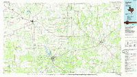 1985 Graham1985 Print · USGSNorth Texas in the mid-eighties shows a landscape of growing reservoirs and historic cattle country. Genealogists and historians can trace the foundations of Young County through the Belknap Mountains, Barton Chapel, and the grounds of Fort Richardson State Park.2 unique versions available
 - 2010 Map of Bryson, 2010 Print
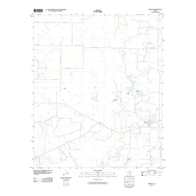 2010 Bryson2010 Print · USGSJack County ranch lands and oil fields are captured here during the early twenty-first century. Genealogists and historians can trace local family landmarks and burial sites like Rock Creek Cemetery, the Knox Oil Field, and the shorelines of McCloud Lake.
 - 2012 Map of Bryson, 2012 Print
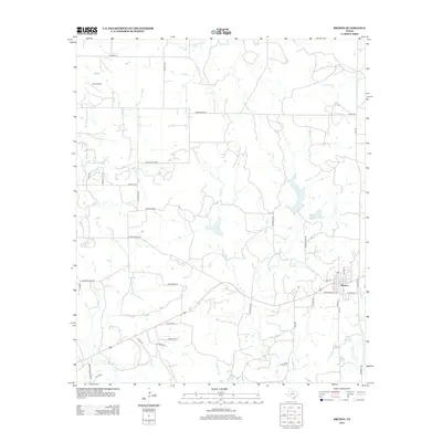 2012 Bryson2012 Print · USGSJack County's ranchlands and energy resources are on display here in the early twenty-first century. Genealogists and local historians can trace the town of Bryson and surrounding sites like Rock Creek Cem and the extensive Knox Oil Field.
 - 2016 Map of Bryson, 2016 Print
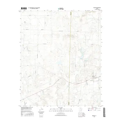 2016 Bryson2016 Print · USGSBryson and the surrounding Texas ranch lands are documented here in the mid-2010s at the meeting of Jack and Young counties. Researchers can trace local lineage at the Rock Creek Cem or locate regional water features like Lake Bryson and McCloud Lake.
 - 2019 Map of Bryson, 2019 Print
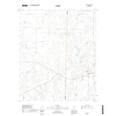 2019 Bryson2019 Print · USGSBryson and the surrounding Jack County countryside are documented here in the late 2010s. Genealogists can trace family holdings along Gahagan Corner Rd and McEntire Rd, or locate burials at Rock Creek Cem.
 - 2022 Map of Bryson, 2022 Print
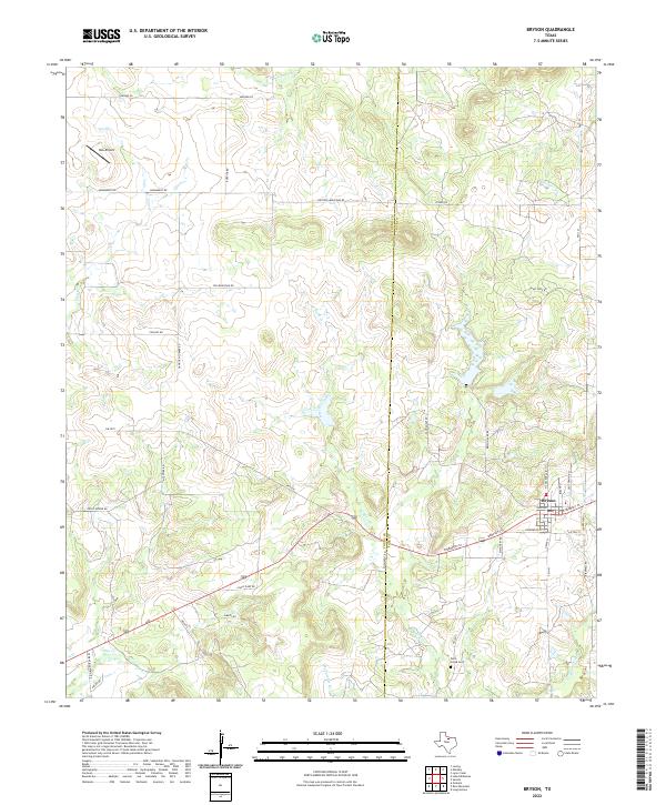 2022 Bryson2022 Print · USGSThe North Texas town of Bryson and the surrounding ranch land come into focus in this contemporary survey of the Young and Jack county line. Researchers can trace rural landmarks from the Rock Creek Cem to the headwaters of West Rock Creek and Dry Cr.
End of results
Showing maps 1-9 of 9
Top cities near Bryson
Frequently asked questions
- What are the different types of historical maps available for Bryson?
- What is the oldest map of Bryson?
- Where can I purchase historical maps of Bryson for my home or office?
- Where can I download high-res historical maps of Bryson?
- Are there historical topographic maps available for Bryson?
- Is there historical aerial imagery available for Bryson?
- Where are historical maps of Bryson sourced from?