Old Maps of Gist, Texas for Academic Research
Study the evolution of Gist with 10 high-resolution historic maps. Whether you're teaching, researching, or modeling changes in land use, these maps provide essential visual documentation of urban, environmental, and geographic change.
- Analyze long-term change: Track patterns in development, transportation, and natural features.
- Ideal for environmental or urban studies: Support academic projects with primary historical map data.
- Use in the classroom or lab: Educators and researchers rely on these maps to bring historical context to life.
These maps are a powerful tool for teaching, research, and visualizing how Gist has changed over the decades.
Gist, TX maps
(10)- 1952 Map of Lake Charles
 1952 Lake Charles1952 Print · USGSSouthwest Louisiana is captured here in the mid-fifties, showing a landscape defined by the rise of the petrochemical industry and deep-water navigation. Researchers can trace family roots through numerous small-town settlements and oil developments like Nibletts Bluff, the Lockport Oil Field, and Starks.
 - 1954 Map of Lake Charles, 1964 Print
 1954 Lake Charles1964 Print · USGSSouthwest Louisiana in the mid-fifties is defined by its massive petroleum industry and its complex network of bayous and rail lines. Researchers can trace the development of the Sulphur Mines Oil Field or locate historic settlements like Longville and De Quincy.3 unique versions available
 - 1955 Map of Bessmay, 1956 Print
 1955 Bessmay1956 Print · USGSIn the mid-1950s, the borderlands between Texas and Louisiana were a landscape of rail-connected timber towns and emerging oil fields. Researchers can trace family history through sites like Morse Cemetery and Nichols Creek Church, or locate rail junctions at Bessmay and Buna.2 unique versions available
 - 1984 Map of Gist, 1985 Print
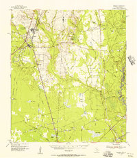
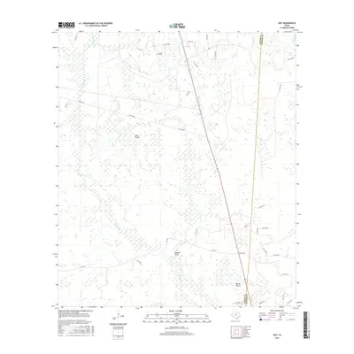
 1984 Gist1985 Print · USGSJasper and Newton counties are captured here in the mid-seventies, showing a landscape of prairies and marshland. Genealogists and historians can trace the old RR grade near Robertson or locate the local Oil Field and High Prairie.
 - 1986 Map of Lake Charles
 1986 Lake Charles1986 Print · USGSThe Louisiana-Texas borderlands are captured here in the mid-1980s, showcasing the industrial growth of the Lake Charles region and its rail-linked satellite towns. Trace the evolution of coastal settlements and family landmarks from Sulphur to the Highland Cem.2 unique versions available
 - 2010 Map of Gist, 2010 Print
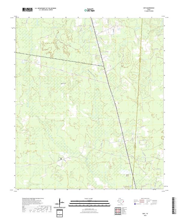
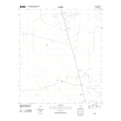 2010 Gist2010 Print · USGSCovers Gist, including Robertson, Newton County, and other nearby areas
 - 2012 Map of Gist, 2012 Print
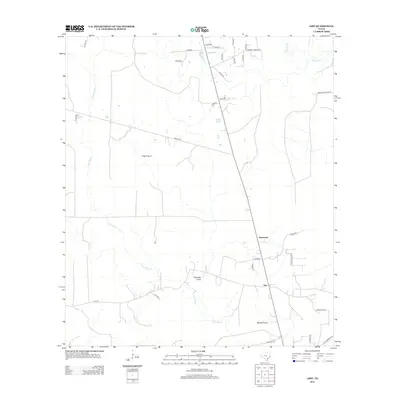 2012 Gist2012 Print · USGSCovers Gist, including Robertson, Newton County, and other nearby areas
 - 2016 Map of Gist, 2016 Print
 2016 Gist2016 Print · USGSCovers Gist, including Robertson, Newton County, and other nearby areas
 - 2019 Map of Gist, 2019 Print
 2019 Gist2019 Print · USGSCovers Gist, including Robertson, Newton County, and other nearby areas
 - 2022 Map of Gist, 2022 Print
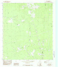
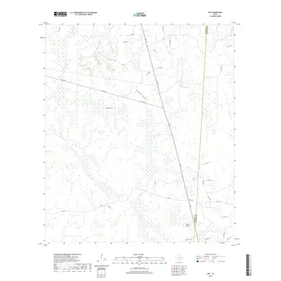
 2022 Gist2022 Print · USGSJasper and Newton counties meet in this 2022 survey of the southeast Texas timberlands and prairie openings. Genealogists can locate Eaves Cem while researchers trace the wetlands of Gum Slough and Myrtle Prairie.
End of results
Showing maps 1-10 of 10
Top cities near Gist
- Beaumont historical maps
- Orange historical maps
- Vidor historical maps
- Bridge City historical maps
- West Orange historical maps
- Pinehurst historical maps
See more
Frequently asked questions
- What are the different types of historical maps available for Gist?
- What is the oldest map of Gist?
- Where can I purchase historical maps of Gist for my home or office?
- Where can I download high-res historical maps of Gist?
- Are there historical topographic maps available for Gist?
- Is there historical aerial imagery available for Gist?
- Where are historical maps of Gist sourced from?