2000s (21st Century) Maps of Harveytown, Texas
Explore 6 historic maps of Harveytown from the 2000s (21st Century). These maps offer a rare glimpse into what life looked like during the 2000s — showing old roads, neighborhoods, homes, and landmarks that have changed or disappeared over time.
Whether you're researching your family's past, planning a metal detecting trip, or studying how Harveytown's landscape evolved across the 2000s, these high-resolution maps are a powerful tool for exploring the history of this region.
- Focus on a specific era: All maps on this page are from the 2000s, giving you a focused view of this time period.
- See what’s changed: Compare century-old streets, trails, and buildings to today's modern landscape using overlays and satellite layers.
- Research with precision: Use these maps for genealogy, historical research, land use analysis, or educational projects.
- View, download, or print: Maps are fully viewable online in high resolution, and can be downloaded or printed for your own records.
Start exploring Harveytown's history through authentic maps from the 2000s. This is your window into the past.
Harveytown, TX maps
(6)- 2003 Map of Ebenezer, 2004 Print
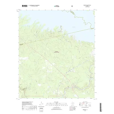
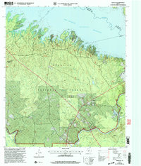 2003 Ebenezer2004 Print · USGSJasper County timberlands and the deep waters of the Angelina River are captured here at the start of the millennium. Researchers can locate family landmarks like Speir Cem and Jordan Cem or trace the early settlement at the Zavala (Historical Site).
 - 2010 Map of Ebenezer, 2010 Print
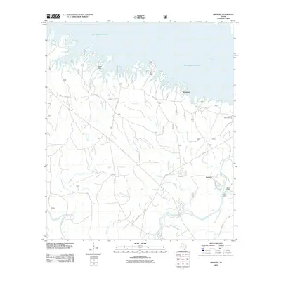 2010 Ebenezer2010 Print · USGSCovers Harveytown, including Ferguson, Parker Point, and other nearby areas
 - 2013 Map of Ebenezer, 2013 Print
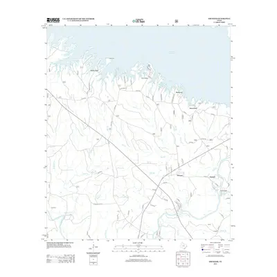 2013 Ebenezer2013 Print · USGSCovers Harveytown, including Ferguson, Parker Point, and other nearby areas
 - 2016 Map of Ebenezer, 2016 Print
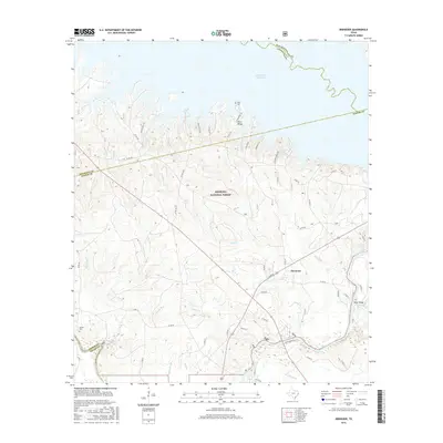 2016 Ebenezer2016 Print · USGSCovers Harveytown, including Ferguson, Parker Point, and other nearby areas
 - 2019 Map of Ebenezer, 2019 Print
 2019 Ebenezer2019 Print · USGSCovers Harveytown, including Ferguson, Parker Point, and other nearby areas
 - 2022 Map of Ebenezer, 2022 Print
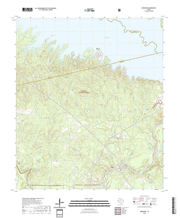 2022 Ebenezer2022 Print · USGSJasper County, Texas, is captured here within the Angelina National Forest as it meets the shores of the Sam Rayburn Reservoir. Researchers can trace the quiet history of the Pineywoods through Old Zavala Cem, Speir Cem, and the winding Angelina River.
End of results
Showing maps 1-6 of 6
Top cities near Harveytown
Frequently asked questions
- What are the different types of historical maps available for Harveytown?
- What is the oldest map of Harveytown?
- Where can I purchase historical maps of Harveytown for my home or office?
- Where can I download high-res historical maps of Harveytown?
- Are there historical topographic maps available for Harveytown?
- Is there historical aerial imagery available for Harveytown?
- Where are historical maps of Harveytown sourced from?