Old Maps of Old Town, Beaumont for Academic Research
Study the evolution of Old Town with 21 high-resolution historic maps. Whether you're teaching, researching, or modeling changes in land use, these maps provide essential visual documentation of urban, environmental, and geographic change.
- Analyze long-term change: Track patterns in development, transportation, and natural features.
- Ideal for environmental or urban studies: Support academic projects with primary historical map data.
- Use in the classroom or lab: Educators and researchers rely on these maps to bring historical context to life.
These maps are a powerful tool for teaching, research, and visualizing how Old Town has changed over the decades.
Old Town, Beaumont maps
(21)- 1926 Map of Vidor
 1926 Vidor1926 Print · USGSThe Neches River basin in the mid-1920s shows a landscape of winding waterways and emerging rail corridors. Researchers can trace the early footprint of Vidor and find rural landmarks like the Magnolia Grove School alongside the Kansas City Southern line.
 - 1932 Map of Beaumont
 1932 Beaumont1932 Print · USGSThe Neches River lowlands and the growing settlement of Vidor are captured here during the early thirties. Genealogists can locate family landmarks like Magnolia Grove Sch, Williamson Ch, and the river crossing at Colliers Ferry.2 unique versions available
 - 1943 Map of Beaumont East, 1960 Print
 1943 Beaumont East1960 Print · USGSIn the midst of the Second World War, the Texas Gulf Coast's industrial heart thrived along the Neches River and its vital shipping channels. Genealogists and historians can trace the early layout of Lamar College, the famous Spindletop Oil Field, and family plots in Anthony Cem.
 - 1954 Map of Beaumont, 1964 Print
 1954 Beaumont1964 Print · USGSSoutheast Texas in the mid-fifties reveals a landscape of massive national forests, emerging reservoirs, and a booming oil economy. Genealogists and researchers can trace rural settlements like Dallardsville and Village Mills or locate early drilling sites at Sour Lake Oil Field.3 unique versions available
 - 1957 Map of Beaumont
 1957 Beaumont1957 Print · USGSSoutheast Texas in the mid-fifties is defined by the timber-rich lands between the Trinity River and Beaumont. Trace the history of the Alabama and Coushatti Indian Reservation or locate early campus sites like Prairie View College.
 - 1960 Map of Beaumont West, 1962 Print
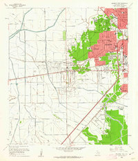 1960 Beaumont West1962 Print · USGSBeaumont expands westward toward the oil fields in the early sixties as new residential suburbs replace the coastal prairie. Trace local history through Amelia, the Hebert Cem, and numerous neighborhood landmarks like French High Sch.4 unique versions available
 - 1960 Map of Beaumont East, 1962 Print
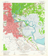 1960 Beaumont East1962 Print · USGSThe Beaumont area in the early sixties thrived as an industrial powerhouse defined by the petroleum industry and the winding Neches River. Researchers can trace the layout of the iconic Spindletop Oil Field, locate Hebert High Sch, and explore the rail networks of the Southern Pacific.6 unique versions available
 - 1984 Map of Beaumont
 1984 Beaumont1984 Print · USGSSoutheast Texas in the late seventies and early eighties shows a landscape of expanding reservoirs and deep timber industry. Researchers can trace the development of the Sam Houston National Forest or locate regional landmarks like Grabbs Prairie and the Wynne State Prison Farm.3 unique versions available
 - 1986 Map of Beaumont
 1986 Beaumont1986 Print · USGSThe East Texas piney woods and coastal prairies are captured here in the mid-eighties, a period of established energy production and conservation. Researchers can trace the industrial footprint of the Oil and Gas Field near Daisetta and Batson, or locate family sites at Graveyard Hill Cem.
 - 1994 Map of Beaumont East
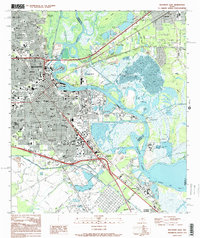 1994 Beaumont East1994 Print · USGSMid-nineties Beaumont and the Neches River are defined by the legacy of the petroleum industry and rapid urban expansion. Researchers can trace historic neighborhoods and industrial sites from the Spindletop Oil Field to Lamar University and the Magnolia Cemetery.
 - 1994 Map of Beaumont West
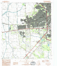 1994 Beaumont West1994 Print · USGSThe western suburbs of Beaumont show a complex mix of mid-century growth and industrial infrastructure during the 1990s. Researchers can trace local landmarks like Amelia, the Beaumont Municipal Airport, and the southern routes of the Southern Pacific railroad.
 - 2010 Map of Beaumont East, 2010 Print
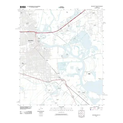 2010 Beaumont East2010 Print · USGSSoutheast Texas at the start of the 2010s shows a landscape deeply defined by its petroleum history and river-based industry. Genealogists and historians can trace significant landmarks like the Lucas Gusher Spindletop Oil Field, Magnolia Cemetery, and South Texas State Fairground.
 - 2010 Map of Beaumont West, 2010 Print
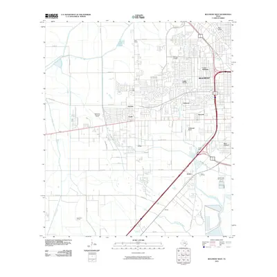 2010 Beaumont West2010 Print · USGSJefferson County's coastal plain enters the twenty-first century as a mix of suburban growth and traditional energy production. Genealogists and local historians can trace family sites at Hebert Cemetery or explore the infrastructure of the West Beaumont Oil Field and Amelia.
 - 2013 Map of Beaumont East, 2013 Print
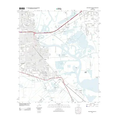 2013 Beaumont East2013 Print · USGSJefferson County’s industrial and oil boom heritage is on full display in this modern survey of the Neches River corridor. Genealogists and historians can trace family-named sites like McFadden, explore the Lucas Gusher Spindletop Oil Field, and locate Magnolia Cem.
 - 2013 Map of Beaumont West, 2013 Print
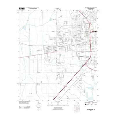 2013 Beaumont West2013 Print · USGSThe West Beaumont area in the early 2010s shows a landscape of growing residential suburbs intertwined with active energy production. Researchers can trace local lineage at Hebert Cem or explore the footprints of the Amelia Oil Field and the Beaumont Municipal Airport.
 - 2016 Map of Beaumont West, 2016 Print
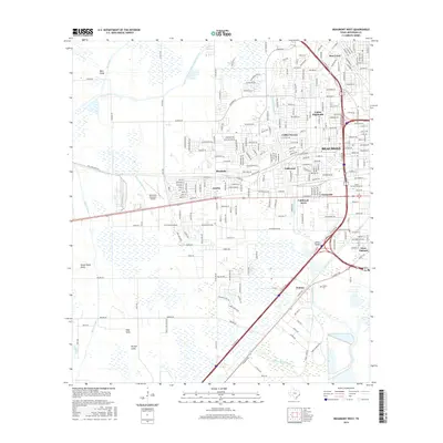 2016 Beaumont West2016 Print · USGSThe western suburbs of Beaumont are captured here during a period of modern expansion across the coastal prairie. Researchers can locate family landmarks like Hebert Cem and trace the paths of Hillebrandt Bayou and the Gallier Canal.
 - 2016 Map of Beaumont East, 2016 Print
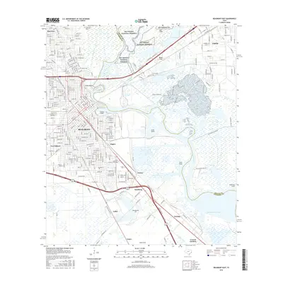 2016 Beaumont East2016 Print · USGSSoutheast Texas at the turn of the 2010s shows a landscape where industrial waterways and urban centers meet coastal marshes. Genealogists and historians can trace family plots at Magnolia Cemetery or study the growth of Lamar University and Rose City.
 - 2019 Map of Beaumont West, 2019 Print
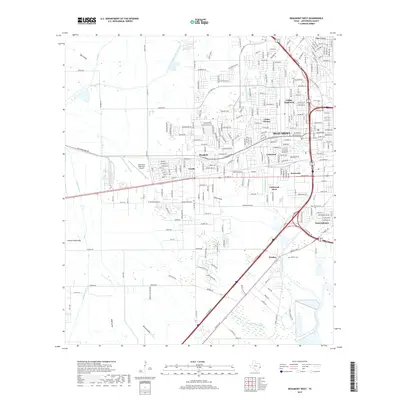 2019 Beaumont West2019 Print · USGSWestern Beaumont and the surrounding Jefferson County landscape appear here in the late twenty-teens, showing the city's modern suburban and industrial footprint. Researchers can locate family sites near Hebert Cem or trace the geography of communities like Amelia, Walden, and West Oakland.
 - 2019 Map of Beaumont East, 2019 Print
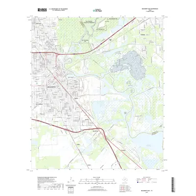 2019 Beaumont East2019 Print · USGSThe industrial and natural landscape of Southeast Texas is captured here in the late 2010s as the Neches River splits the Jefferson and Orange county lines. Researchers can trace the heritage of the oil era near Spindletop and locate historic burial sites like Magnolia Cem and Sullivan Cem.
 - 2022 Map of Beaumont East, 2022 Print
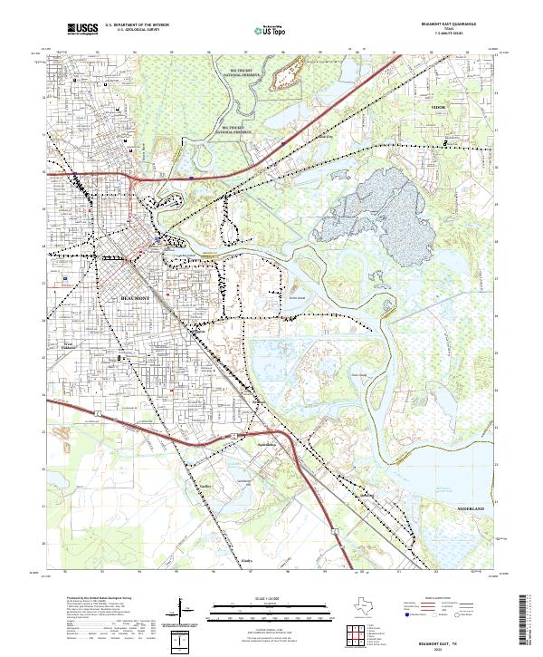 2022 Beaumont East2022 Print · USGSIn the modern industrial heart of Southeast Texas, this 2022 survey captures the intersection of the Neches River and the legendary oil history of Spindletop Hill. Researchers can trace the layout of Beaumont neighborhoods, find family plots in Evergreen Cem, and locate Lamar University near the riverfront.
 - 2022 Map of Beaumont West, 2022 Print
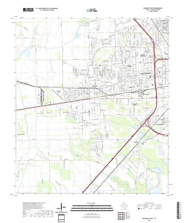 2022 Beaumont West2022 Print · USGSThe western reach of Beaumont comes alive in this contemporary study of Jefferson County's suburban growth and complex canal systems. Researchers can locate family landmarks like Prater Cem and Herbert Cem alongside the Beaumont Municipal Airport.
End of results
Showing maps 1-21 of 21
Frequently asked questions
- What are the different types of historical maps available for Old Town?
- What is the oldest map of Old Town?
- Where can I purchase historical maps of Old Town for my home or office?
- Where can I download high-res historical maps of Old Town?
- Are there historical topographic maps available for Old Town?
- Is there historical aerial imagery available for Old Town?
- Where are historical maps of Old Town sourced from?