Old Maps of Fannett, Texas for Hiking & Exploration
Hike through history with 11 historic maps of Fannett. Explore old trails, ghost towns, and forgotten backroads — perfect for outdoor adventurers and local explorers.
- Rediscover forgotten places: Map out old mining camps, roads, and footpaths that no longer exist on modern maps.
- Layer with modern tools: Combine with LiDAR or satellite views to plan hikes through historical terrain.
- Made for exploration: Popular among hikers, overlanders, and local history lovers.
Use these maps to find adventure and explore the hidden past of Fannett.
Fannett, TX maps
(11)- 1950 Map of Houston, 1953 Print
 1950 Houston1953 Print · USGSCoastal Texas in the early fifties reveals a landscape of massive civil engineering and industrial transit. Genealogists and researchers can trace the growth of the Houston suburbs and the maritime infrastructure of Galveston Bay, including the Gulf Freeway and the Texas City Dike.
 - 1956 Map of Houston, 1963 Print
 1956 Houston1963 Print · USGSSoutheast Texas in the mid-fifties is captured here as a powerhouse of oil and maritime trade. Genealogists and historians can trace the foundations of Houston and its ports, alongside landmarks like the Rice Institute and the Spindletop Oil Field.2 unique versions available
 - 1962 Map of Fannett West, 1964 Print
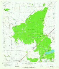 1962 Fannett West1964 Print · USGSJefferson County petroleum and bayou country are captured here in the early sixties as the energy industry expanded across the prairie. Genealogists and local historians can trace the tracks of the Colorado and Santa Fe railroad near Fannett and locate family lands near Pignut Island.2 unique versions available
 - 1975 Map of Houston, 1977 Print
 1975 Houston1977 Print · USGSThe Texas Gulf Coast in the mid-seventies shows a sprawling Houston metropolis linked to the sea by the massive Houston Ship Channel. Researchers can trace the mid-century industrial landscape from the Astrodome to the Lyndon B. Johnson Space Center.2 unique versions available
 - 1983 Map of Anahuac
 1983 Anahuac1983 Print · USGSThe Upper Texas Coast and its energy-driven landscape are detailed here in the early eighties. Genealogists and historians can trace coastal settlements like Anahuac and Winnie alongside the storied Spindletop Oil Field and the Anahuac National Wildlife Refuge.2 unique versions available
 - 1993 Map of Fannett West, 1994 Print
 1993 Fannett West1994 Print · USGSJefferson County as it appeared in the early 1990s was a landscape defined by the intersection of rural ranching and the energy industry. Genealogists and researchers can trace the vicinity of Fannett and Morey, and identify local oil and gas landmarks like Fannett Oil Field.
 - 2010 Map of Fannett West, 2010 Print
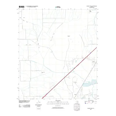 2010 Fannett West2010 Print · USGSCovers Fannett, including Morey, Jefferson County, and other nearby areas
 - 2013 Map of Fannett West, 2013 Print
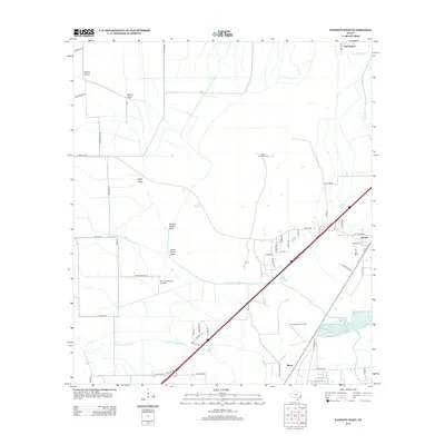 2013 Fannett West2013 Print · USGSCovers Fannett, including Morey, Jefferson County, and other nearby areas
 - 2016 Map of Fannett West, 2016 Print
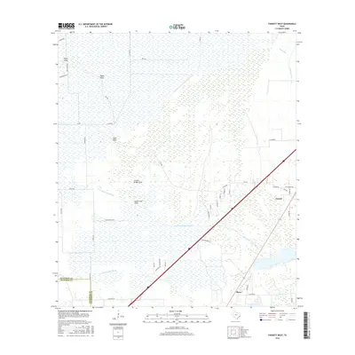 2016 Fannett West2016 Print · USGSCovers Fannett, including Morey, Jefferson County, and other nearby areas
 - 2019 Map of Fannett West, 2019 Print
 2019 Fannett West2019 Print · USGSCovers Fannett, including Morey, Jefferson County, and other nearby areas
 - 2022 Map of Fannett West, 2022 Print
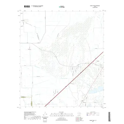
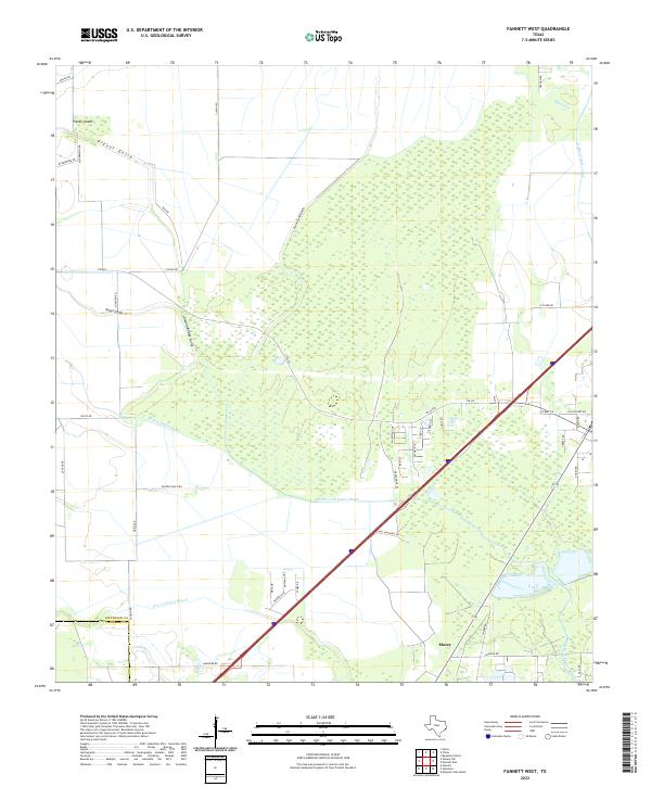 2022 Fannett West2022 Print · USGSCoastal Jefferson County in the early 2020s is defined by its complex bayou network and the rural community of Morey. Local researchers can trace family-named routes and drainage features like Vogel Gully, Pignut Island, and the confluence of the North Fork Taylor Bayou.
End of results
Showing maps 1-11 of 11
Top cities near Fannett
- Beaumont historical maps
- Port Arthur historical maps
- Nederland historical maps
- Vidor historical maps
- Winnie historical maps
- Sour Lake historical maps
See more
Frequently asked questions
- What are the different types of historical maps available for Fannett?
- What is the oldest map of Fannett?
- Where can I purchase historical maps of Fannett for my home or office?
- Where can I download high-res historical maps of Fannett?
- Are there historical topographic maps available for Fannett?
- Is there historical aerial imagery available for Fannett?
- Where are historical maps of Fannett sourced from?