2000s (21st Century) Maps of Alvarado, Texas
Explore 20 historic maps of Alvarado from the 2000s (21st Century). These maps offer a rare glimpse into what life looked like during the 2000s — showing old roads, neighborhoods, homes, and landmarks that have changed or disappeared over time.
Whether you're researching your family's past, planning a metal detecting trip, or studying how Alvarado's landscape evolved across the 2000s, these high-resolution maps are a powerful tool for exploring the history of this region.
- Focus on a specific era: All maps on this page are from the 2000s, giving you a focused view of this time period.
- See what’s changed: Compare century-old streets, trails, and buildings to today's modern landscape using overlays and satellite layers.
- Research with precision: Use these maps for genealogy, historical research, land use analysis, or educational projects.
- View, download, or print: Maps are fully viewable online in high resolution, and can be downloaded or printed for your own records.
Start exploring Alvarado's history through authentic maps from the 2000s. This is your window into the past.
Alvarado, TX maps
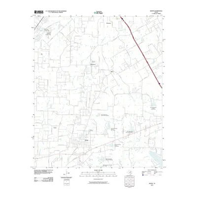
(20)- 2010 Map of Grandview, 2010 Print
 2010 Grandview2010 Print · USGSCovers Alvarado, including Grandview, Antioch, and other nearby areas
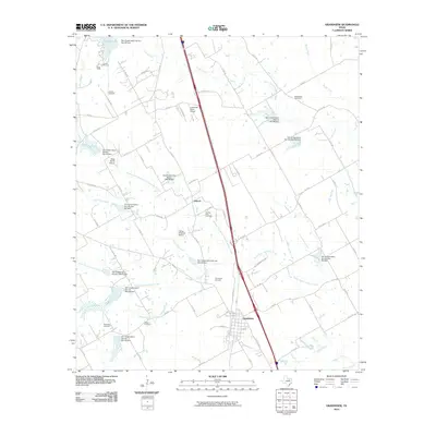
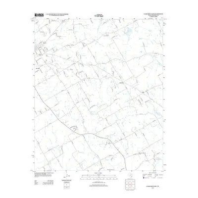
 - 2010 Map of Alvarado, 2010 Print
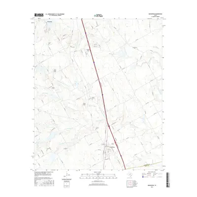
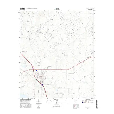
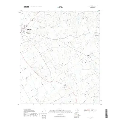
 2010 Alvarado2010 Print · USGSCovers Alvarado, including Burleson, Venus, and other nearby areas
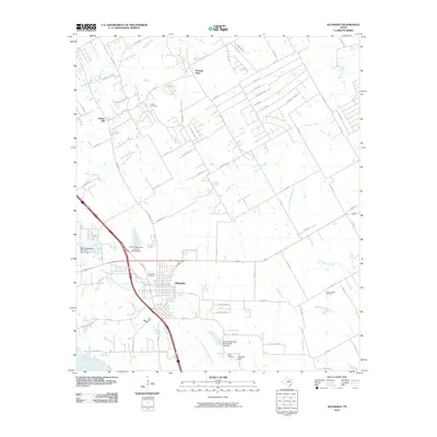
 - 2010 Map of Keene, 2010 Print
 2010 Keene2010 Print · USGSCovers Alvarado, including Burleson, Cleburne, and other nearby areas
 - 2010 Map of Cleburne East, 2010 Print
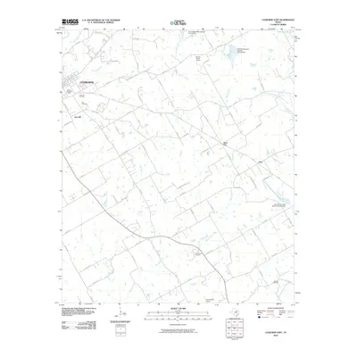 2010 Cleburne East2010 Print · USGSCovers Alvarado, including Cleburne, Keene, and other nearby areas
 - 2012 Map of Cleburne East, 2012 Print
 2012 Cleburne East2012 Print · USGSCovers Alvarado, including Cleburne, Keene, and other nearby areas
 - 2012 Map of Grandview, 2012 Print
 2012 Grandview2012 Print · USGSCovers Alvarado, including Grandview, Antioch, and other nearby areas
 - 2012 Map of Keene, 2012 Print
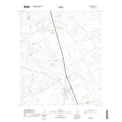
 2012 Keene2012 Print · USGSCovers Alvarado, including Burleson, Cleburne, and other nearby areas
 - 2012 Map of Alvarado, 2012 Print
 2012 Alvarado2012 Print · USGSCovers Alvarado, including Burleson, Venus, and other nearby areas
 - 2016 Map of Grandview, 2016 Print
 2016 Grandview2016 Print · USGSCovers Alvarado, including Grandview, Antioch, and other nearby areas
 - 2016 Map of Cleburne East, 2016 Print
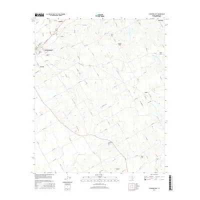 2016 Cleburne East2016 Print · USGSCovers Alvarado, including Cleburne, Keene, and other nearby areas
 - 2016 Map of Keene, 2016 Print
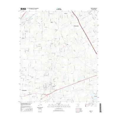 2016 Keene2016 Print · USGSCovers Alvarado, including Burleson, Cleburne, and other nearby areas
 - 2016 Map of Alvarado, 2016 Print
 2016 Alvarado2016 Print · USGSCovers Alvarado, including Burleson, Venus, and other nearby areas
 - 2019 Map of Cleburne East, 2019 Print
 2019 Cleburne East2019 Print · USGSCovers Alvarado, including Cleburne, Keene, and other nearby areas
 - 2019 Map of Grandview, 2019 Print
 2019 Grandview2019 Print · USGSCovers Alvarado, including Grandview, Antioch, and other nearby areas
 - 2019 Map of Alvarado, 2019 Print
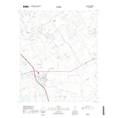 2019 Alvarado2019 Print · USGSCovers Alvarado, including Burleson, Venus, and other nearby areas
 - 2019 Map of Keene, 2019 Print
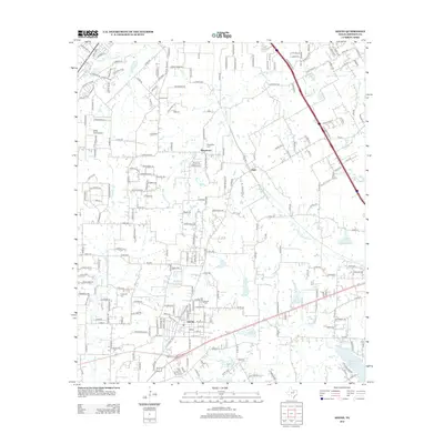
 2019 Keene2019 Print · USGSCovers Alvarado, including Burleson, Cleburne, and other nearby areas
 - 2022 Map of Keene, 2022 Print
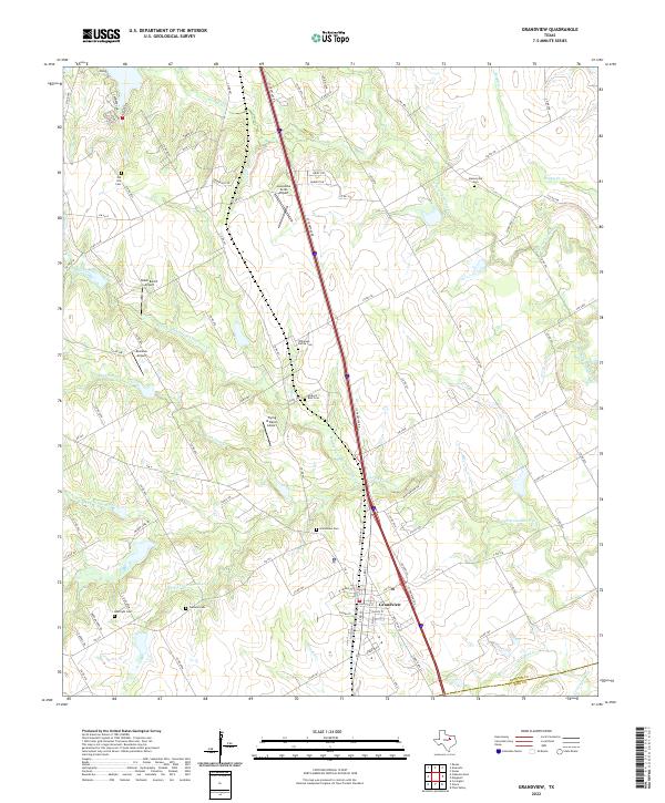
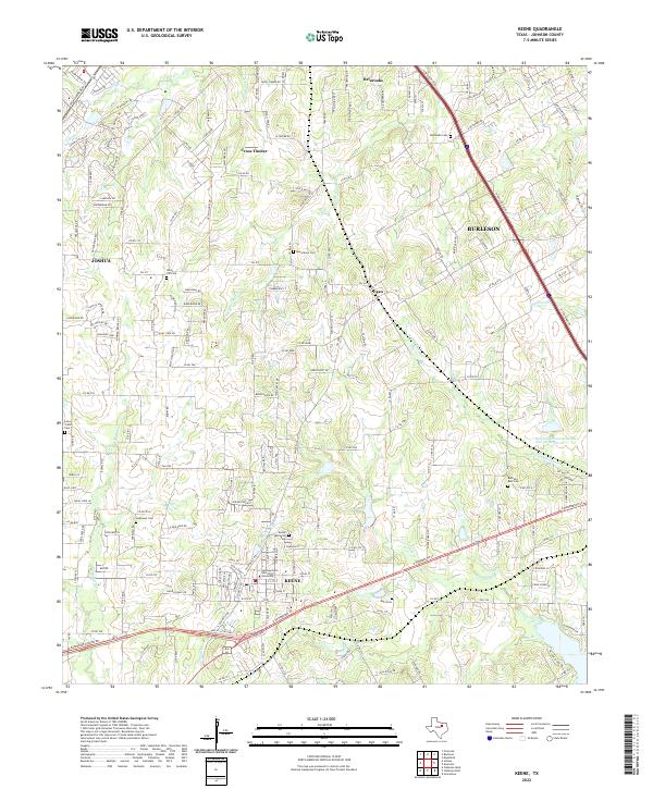 2022 Keene2022 Print · USGSJohnson County is shown during a period of modern expansion where educational roots and old family homesteads meet. Genealogists can trace local heritage through Bethesda Cem and Lane Prairie Cem or locate the campus of Southwestern Adventist University.
 - 2022 Map of Cleburne East, 2022 Print
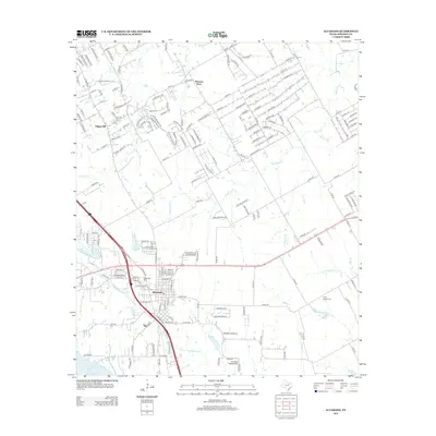
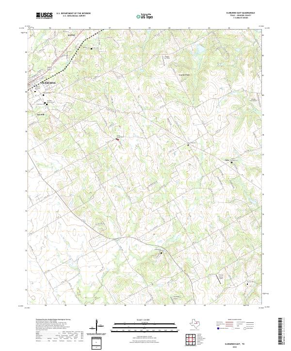 2022 Cleburne East2022 Print · USGSThe eastern outskirts of Cleburne and Keene meet the branching creeks of the Texas Blackland Prairies in the early 2020s. Genealogists and local historians can trace numerous rural burial grounds like Prices Chapel Cem and small settlements such as Cuba.
 - 2022 Map of Grandview, 2022 Print
 2022 Grandview2022 Print · USGSGrandview and the surrounding Johnson County prairie are documented here in the early twenty-first century. Family historians can locate numerous burial grounds like Old Hill Cem and Boatright Cem alongside local landmarks like Luscombe Acres Airport.
 - 2022 Map of Alvarado, 2022 Print
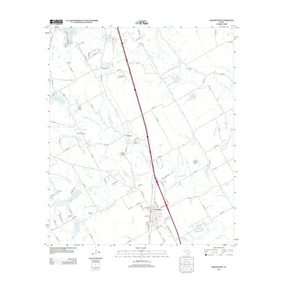
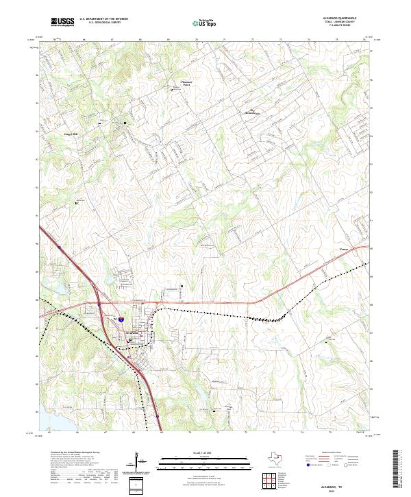 2022 Alvarado2022 Print · USGSJohnson County at the start of the 2020s shows a landscape of growing towns and preserved family history. Genealogists can trace deep roots at Old Cahill Cem, Myers Cem, and Pleasant Point.
End of results
Showing maps 1-20 of 20
Top cities near Alvarado
- Dallas historical maps
- Fort Worth historical maps
- Arlington historical maps
- Grand Prairie historical maps
- Mansfield historical maps
- Cedar Hill historical maps
See more
Frequently asked questions
- What are the different types of historical maps available for Alvarado?
- What is the oldest map of Alvarado?
- Where can I purchase historical maps of Alvarado for my home or office?
- Where can I download high-res historical maps of Alvarado?
- Are there historical topographic maps available for Alvarado?
- Is there historical aerial imagery available for Alvarado?
- Where are historical maps of Alvarado sourced from?